
The Bottom Line
May has been a pretty crazy month so far. We’ve had high temperatures ranging from the 50s to the 80s. Low temperatures somewhere between the 30s and the 60s. And several spurts of rainy, dreary weather too.
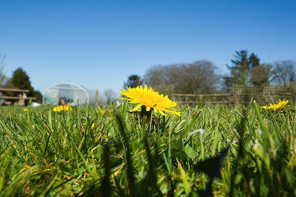
Overall, the week ahead looks pretty good. Having said that, temperatures will be stuck below seasonal normals for several more days. We’ll dry out and partially clear out Monday, but it will feel more like mid-April than mid-May. Warmer days are ahead, with minimal rain chances for the next week or so.
Monday
As of this writing (5:15 a.m.), radar is looking much clearer than early this morning. While rain made for some challenging conditions through parts of the Mother’s Day Weekend, we can now look ahead to drier skies and drier air.
It’s still feeling rather damp and raw across most of the Garden State to start the day, even though rain is done falling. Early temperatures are mainly around the 50-degree mark. There is a bubble of warmer air left in South Jersey early on. But as cooler air arrives, thermometers will dip a bit through mid-morning, before recovering later on.
We’ll see partial sunshine (at least) by Monday afternoon, and dry weather for the rest of the day.
Monday night will be chilly, with some clouds. (Viewing for the twice-postponed Virginia rocket launch should be good!) Models do paint a few sprinkles around early Tuesday morning. Low temps are forecast to dip into the mid 40s.
Tuesday
A breezy day, as northwesterly winds kick over 20 mph for most of the day. That’s not ferocious, but noticeable. Under partly sunny skies, highs should firmly hit lower 60s.
Tuesday night-Wednesday morning will be coldest of the week, with 30s and patchy frost possible in NW NJ and the Pine Barrens.
Wednesday
Now we’re talking. The slow warmup really kicks in. And I’m calling for a dry day, as a storm system passes south of New Jersey.
So Wednesday should be a nice spring day, with sunny skies, lighter winds, and highs in the mid 60s. The ambient northwesterly breeze should be just strong enough to stave off any significant sea breeze effect.
Thursday
Upper 60s. That’s almost seasonable. Sunny and dry. Other than the Jersey Shore potentially ending up cooler, as the sea breeze machine fires up, there’s really not much to complain about here!
Friday & Beyond
After a full week and a half stuck below normal, we’ll finally see 70s return to New Jersey. Both Friday and Saturday look like partly sunny, pleasant days.
Models show a weak wave moving through New Jersey’s atmosphere on Sunday. That will introduce clouds and showers to the forecast - probably our best rain chance of the next week (at least). Even so, it’s not very impressive. And high temperatures should still hit 70s for most of the state.
Lots to like about this forecast! Open up the windows, get outside, and enjoy!
Dan Zarrow is Chief Meteorologist for Townsquare Media New Jersey. Follow him on Facebook or Twitter for the latest forecast and realtime weather updates.
Take a Dip In The Most Breathtaking Backyard Pools in New Jersey
Gallery Credit: Matt Ryan
The Tastiest Jersey Shore Food Trucks You Should Try This Summer
Gallery Credit: Jimmy G
More From New Jersey 101.5 FM


