Wednesday NJ weather: A few showers, lots of clouds, cooler temps
The Bottom Line
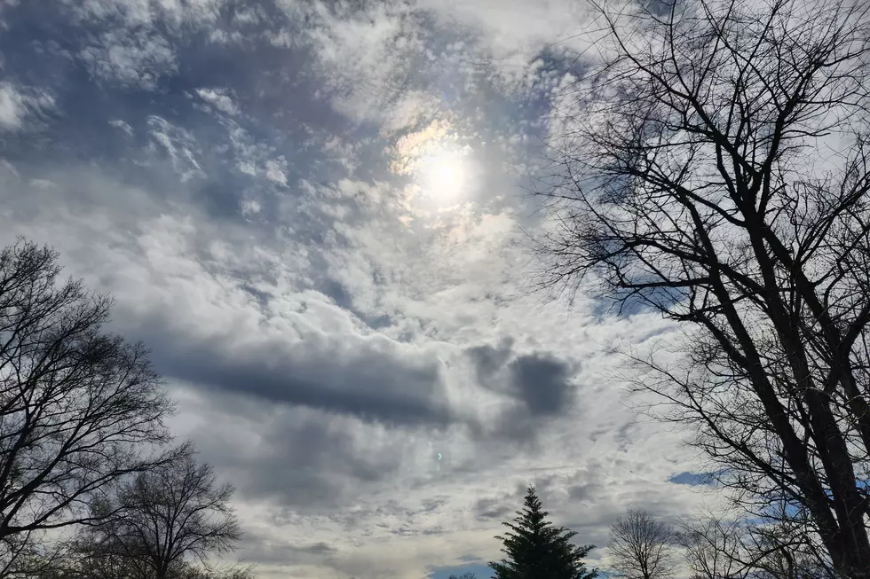
Wednesday's forecast is pretty similar to Tuesday's — hit-or-miss raindrops and thick clouds. A batch of heavier rain is missing us to the east. Strong soaking thunderstorms are expected to setup to the west. But here in New Jersey, just unsettled, dreary, and occasionally damp.
Rain chances will once again go up Wednesday evening, with the overall wettest period of weather coming Thursday morning.
As I always say in the warm weather months, summer weekends are precious. In the end, I don't care what happened in our weather world during the week. As long as the weekend is OK.
And this weekend is looking more than OK — it's trending quite summer-ish.

Wednesday
As of this writing (6 a.m.), there are a few showers clipping the coast (Monmouth and Ocean counties). And that's really the story of the day — occasional raindrops, especially along the eastern edge of the state.
Farther west, you will see a brighter sky and probably a dry day overall.
High temperatures will depend on where you are and what (if anything) falls from the sky. To the east, mid to upper 60s. To the west, lower to mid 70s. Average high will be around 70 degrees — that is more than 10 degrees below normal for late June.
Once again, rain chances will ramp up again as Wednesday evening approaches. Still scattered and relatively unimpactful. There could be some localized downpours around, or even rumbles of thunder. But instability will be scarce. And we're not tapping into a rich stream of moisture here. So don't expect anything dramatic or severe — just wet.
Also, it's worth noting that the piece of energy draped over the coast and on-shore breeze raises the rip current risk to moderate Wednesday. Not that it's a great beach day at all.
And finally, we have to mention the Mullica River wildfire, which is now almost totally contained. Model guidance shows like smoke drifting into central and northern New Jersey Wednesday. However, it won't be as strong as the past few days. And air quality concerns are very low.
Thursday
One more big push of rain is expected Thursday, from morning through midday. Again, nothing too heavy, although a quarter-inch of rainfall is possible.
If all goes well, as our stagnant storm system drifts away, skies will slowly clear through Thursday afternoon and evening. High temperatures will be limited to the lower to maybe mid 70s.
Friday
The workweek ends on a positive note, as Friday turns partly sunny and high temperatures surge to about 80 degrees. Some models plug in a popup shower during the day Friday, but that's a very slight chance. (That I was tempted to remove from the forecast completely, FYI.)
Humidity levels will remain consistently moderate for the duration here. Dew point around 60 degrees is probably par for the course for this time of year. Not too steamy, but enough to keep the overnights from getting too cool.
Saturday
If you're craving warmer weather, in the hope of planning a trip to the beach or pool, this weekend is looking good.
High temperatures on Saturday are forecast to reach the upper 80s to around 90 degrees. Again, humidity will be there, but not tropical. Skies will feature a mix of sunshine and clouds. Winds will be light, out of the southwest up to 15 mph.
We should get a nice sea breeze at the Jersey Shore on Saturday, keeping temperatures closer to 80 degrees. Water temperatures are close to 70 at this point. So we could have some beautiful beach weather on our hands for the first weekend of summer.
Sunday
More clouds than Sunday, but similarly hot temperatures near 90 degrees. Some models paint our next storm system — a cold front — arriving Sunday evening. But for now, I favor a dry forecast. Especially during the daytime hours.
The Extended Forecast
That cold front will push across New Jersey on Monday. The timing and speed of that frontal passage will dictate its impacts. Given the uncertainty at 6+ days, I don't want to go into details just yet. We will probably see a period of rain, and then an influx of cooler air into Tuesday. If all goes well, a dome of high pressure could present us with some more beautiful weather days to close out June and begin July.
Dan Zarrow is Chief Meteorologist for Townsquare Media New Jersey. Follow him on Facebook or Twitter for the latest forecast and realtime weather updates.
See the Must-Drive Roads in Every State
RANKED: Here are the most popular national parks
More From New Jersey 101.5 FM


