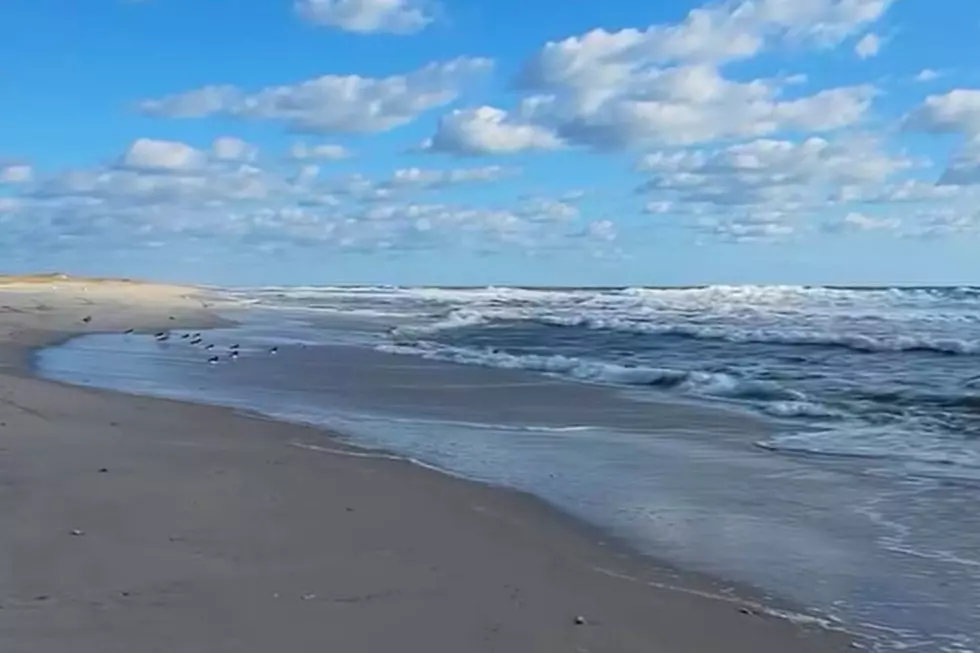
NJ beach weather and waves: Jersey Shore Report for Tue 6/18
Advisories
HEAT ADVISORY IN EFFECT thru Thursday 6 a.m. Heat index values up to 95 degrees expected. Heat related illnesses increase significantly during extreme heat and high humidity events. Drink plenty of fluids, stay in an air-conditioned room, stay out of the sun, and check up on relatives and neighbors.
At the Shore
Current conditions and forecast as of Tue morning
| Rip Current Risk | Low |
|---|---|
| Waves | 1 - 3 feet |
| Winds | From the Southwest 9 - 14 mph (Gust 21 mph) 8 - 12 knots (Gust 18 knots) |
| Ocean Temperature | 66° - 75° (Normal 64° - 77°) |
| Air Temperature | 76° - 90° |
| Sunrise/Sunset | 5:26am - 8:29pm |
| UV Index | 10 (Very High) |
Tide Times
| SANDY HOOK Sandy Hook Bay | High Tue 5:37a | Low Tue 11:45a | High Tue 6:06p | Low Wed 12:37a | |
| LONG BRANCH Atlantic Ocean | High Tue 5:11a | Low Tue 11:09a | High Tue 5:40p | Low Wed 12:01a | |
| MANASQUAN INLET Atlantic Ocean | High Tue 5:25a | Low Tue 11:21a | High Tue 5:54p | Low Wed 12:13a | |
| SEASIDE HEIGHTS Atlantic Ocean | High Tue 5:07a | Low Tue 11:13a | High Tue 5:36p | Low Wed 12:05a | |
| SEASIDE PARK Barnegat Bay | High Tue 9:17a | Low Tue 3:50p | High Tue 9:46p | Low Wed 4:42a | |
| BARNEGAT INLET Barnegat Bay | High Tue 5:31a | Low Tue 11:37a | High Tue 5:59p | Low Wed 12:35a | |
| MANAHAWKIN BRIDGE Manahawkin Bay | High Tue 8:24a | Low Tue 3:24p | High Tue 8:53p | Low Wed 4:16a | |
| LITTLE EGG INLET Great Bay | High Tue 6:21a | Low Tue 12:10p | High Tue 6:55p | Low Wed 1:14a | |
| ATLANTIC CITY Atlantic Ocean | High Tue 5:15a | Low Tue 11:14a | High Tue 5:46p | Low Wed 12:14a | |
| OCEAN DRIVE BRIDGE Townsends Inlet | High Tue 5:34a | Low Tue 11:30a | High Tue 6:13p | Low Wed 12:37a | |
| WILDWOOD CREST Atlantic Ocean | High Tue 5:26a | Low Tue 11:20a | High Tue 5:54p | Low Wed 12:21a | |
| CAPE MAY Delaware Bay | High Tue 6:23a | Low Tue 12:16p | High Tue 6:53p | Low Wed 1:11a |
Marine Forecast
From the National Weather Service, Mt. Holly
TUE: S winds 10 to 15 kt with gusts up to 20 kt. Seas 2 to 4 ft. Wave Detail: SE 3 ft at 6 seconds and SE 2 ft at 12 seconds.
TUE NIGHT: S winds 10 to 15 kt with gusts up to 20 kt, becoming SW 5 to 10 kt after midnight. Seas 2 to 4 ft. Wave Detail: S 3 ft at 5 seconds and E 1 foot at 11 seconds.
WED: SW winds 5 to 10 kt, becoming S 10 to 15 kt with gusts up to 20 kt in the afternoon. Seas 2 to 3 ft. Wave Detail: S 2 ft at 4 seconds and SE 2 ft at 10 seconds.
WED NIGHT: SW winds 10 to 15 kt. Seas 2 to 3 ft. Wave Detail: S 3 ft at 4 seconds and SE 3 ft at 10 seconds.
THU: SW winds 5 to 10 kt, becoming S 10 to 15 kt with gusts up to 20 kt in the afternoon. Seas 2 to 4 ft. Wave Detail: S 3 ft at 4 seconds and SE 3 ft at 9 seconds.
THU NIGHT: S winds 15 to 20 kt, becoming SW 10 to 15 kt after midnight. Seas 3 to 4 ft.
FRI: SW winds 10 to 15 kt. Seas 3 to 4 ft.
FRI NIGHT: S winds 10 to 15 kt, becoming SW 5 to 10 kt after midnight. Seas 3 to 4 ft.
SAT: SW winds 5 to 10 kt, becoming SE 10 to 15 kt in the afternoon. Seas 3 to 4 ft.
SAT NIGHT: S winds 10 to 15 kt. Seas 3 to 4 ft.
Plan Your Trip
Data on this page amalgamated from several sources, including the National Weather Service (weather), National Ocean Service (tides), U.S. Naval Observatory (sun), and the U.S. Environmental Protection Agency (UV index).
Dan Zarrow is Chief Meteorologist for Townsquare Media New Jersey. The Shore Report is generated semi-automatically daily at 5 a.m. from mid-May to late September. Follow Dan's weather blog, Facebook page, and Twitter feed for your latest forecast and realtime weather updates.
The Sunflow Beach Chair Gets National Attention On ABC's Shark Tank
Gallery Credit: Nicole Murray
100 Best Jersey Shore Beach Views
Cliffwood Beach: New Jersey's lost and forgotten resort destination
Gallery Credit: Joe Votruba
More From New Jersey 101.5 FM