
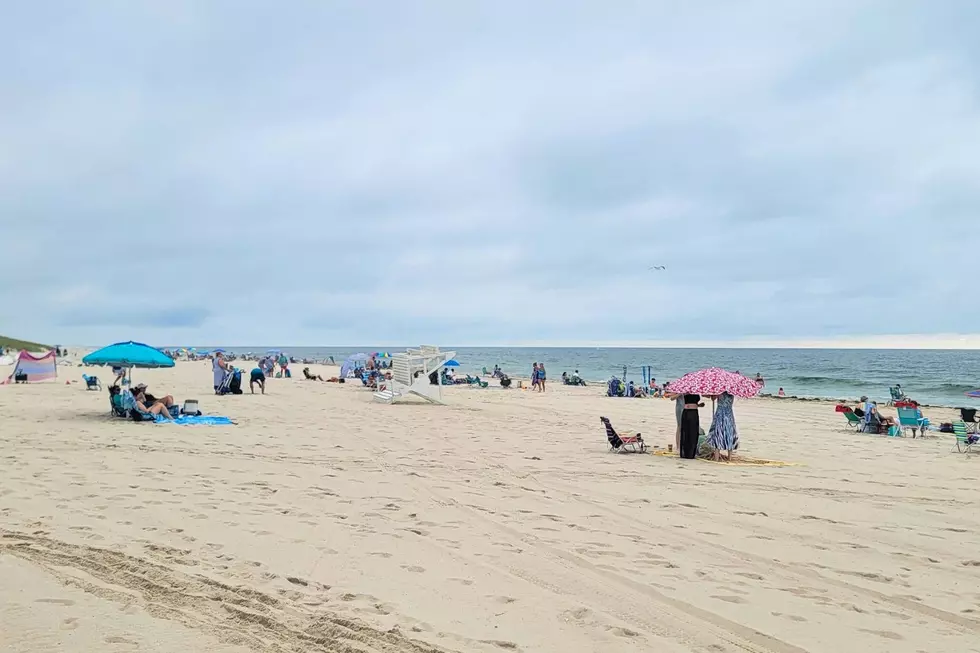
NJ beach weather & waves: Jersey Shore Report for Sunday, July 13
Advisories
--None at this time.
At the Shore
Current conditions and forecast as of Sun morning
| Rip Current Risk | Low |
|---|---|
| Waves | 1 - 2 feet |
| Winds | From the East 8 - 10 mph (Gust 14 mph) 7 - 9 knots (Gust 12 knots) |
| Ocean Temperature | 71° - 79° (Normal 67° - 74°) |
| Air Temperature | 75° - 84° |
| Sunrise/Sunset | 5:37am - 8:26pm |
| UV Index | 10 (Very High) |
Tide Times
| SANDY HOOK Sandy Hook Bay | High Sun 10:19a | Low Sun 4:27p | High Sun 10:28p | Low Mon 5:05a | |
| LONG BRANCH Atlantic Ocean | High Sun 9:53a | Low Sun 3:51p | High Sun 10:02p | Low Mon 4:29a | |
| MANASQUAN INLET Atlantic Ocean | High Sun 10:07a | Low Sun 4:03p | High Sun 10:16p | Low Mon 4:41a | |
| SEASIDE HEIGHTS Atlantic Ocean | High Sun 9:49a | Low Sun 3:55p | High Sun 9:58p | Low Mon 4:33a | |
| SEASIDE PARK Barnegat Bay | Low Sun 8:32a | High Sun 1:59p | Low Sun 8:32p | High Mon 2:08a | |
| BARNEGAT INLET Barnegat Bay | High Sun 10:11a | Low Sun 4:15p | High Sun 10:23p | Low Mon 5:06a | |
| MANAHAWKIN BRIDGE Manahawkin Bay | Low Sun 8:06a | High Sun 1:06p | Low Sun 8:06p | High Mon 1:15a | |
| LITTLE EGG INLET Great Bay | Low Sun 5:06a | High Sun 11:14a | Low Sun 4:52p | High Sun 11:26p | |
| ATLANTIC CITY Atlantic Ocean | High Sun 9:59a | Low Sun 3:46p | High Sun 10:10p | Low Mon 4:38a | |
| OCEAN DRIVE BRIDGE Townsends Inlet | High Sun 10:34a | Low Sun 4:14p | High Sun 10:53p | Low Mon 5:08a | |
| WILDWOOD CREST Atlantic Ocean | High Sun 10:03a | Low Sun 3:55p | High Sun 10:19p | Low Mon 4:45a | |
| CAPE MAY Delaware Bay | High Sun 11:08a | Low Sun 4:55p | High Sun 11:25p | Low Mon 5:39a |
Marine Forecast
From the National Weather Service, Mt. Holly
TODAY: E winds 5 to 10 kt. Seas 2 to 3 ft. Wave Detail: SE 3 ft at 7 seconds. Patchy fog. A chance of drizzle this afternoon. Vsby 1 to 3 NM.
TONIGHT: SE winds 5 to 10 kt, becoming S after midnight. Seas around 2 ft. Wave Detail: SE 2 ft at 7 seconds. A chance of drizzle. Areas of fog. Vsby 1 to 3 NM.
MON: S winds 5 to 10 kt. Seas around 2 ft. Wave Detail: SE 2 ft at 6 seconds. A chance of showers and tstms in the afternoon with vsby 1 to 3 NM.
MON NIGHT: SW winds 5 to 10 kt. Seas around 2 ft. Wave Detail: SE 2 ft at 6 seconds. A chance of showers and tstms. Vsby 1 to 3 NM in the evening.
TUE: SW winds around 5 kt, becoming S in the afternoon. Seas around 2 ft. Wave Detail: SE 2 ft at 6 seconds. A chance of showers and tstms.
TUE NIGHT: SW winds 5 to 10 kt. Seas around 2 ft. Wave Detail: SE 2 ft at 6 seconds. A chance of showers and tstms in the evening.
WED: S winds 5 to 10 kt. Seas 2 to 3 ft. A chance of showers.
WED NIGHT: SW winds 5 to 10 kt. Seas 2 to 3 ft. A chance of showers.
THU: SW winds 5 to 10 kt. Seas 2 to 4 ft. A chance of showers. A chance of tstms in the afternoon.
THU NIGHT: SW winds 5 to 10 kt. Seas 3 to 4 ft. A chance of tstms in the evening. A chance of showers. Winds and seas higher in and near tstms.
Plan Your Trip
Data on this page amalgamated from several sources, including the National Weather Service (weather), National Ocean Service (tides), U.S. Naval Observatory (sun), and the U.S. Environmental Protection Agency (UV index).
Dan Zarrow is Chief Meteorologist for Townsquare Media New Jersey. The Shore Report is generated semi-automatically daily at 5 a.m. from mid-May to late September. Follow Dan's weather blog and Facebook page for your latest forecast and realtime weather updates.
Point Pleasant Beach NJ: 11 most popular spots
Gallery Credit: Erin Vogt
5 Fantastic Dog-Friendly Beaches in New Jersey
5 reasons why local summer at the Jersey Shore is overrated
Gallery Credit: Mike Brant
More From New Jersey 101.5 FM


