Jersey Shore Report for Thursday, October 10, 2019
Current Advisories
—Coastal Flood Warning for Thursday and Friday for Atlantic, Burlington, Cape May, Cumberland, Middlesex, Monmouth, Ocean and Salem Counties. 1-2 feet of inundation above ground level is possible in low-lying areas near shorelines and tidal waterways. Be prepared for rising water levels and take appropriate action to protect life and property.
At the Shore
Current conditions and forecast as of Thursday morning
| Air Temperature | 60° - 66° |
|---|---|
| Winds | From the North 25 - 35 mph (Gust 48 mph) 22 - 30 knots (Gust 42 knots) |
| Waves | 6 - 12 feet |
| Rip Current Risk | High |
| Ocean Temperature | 63° - 68° (Normal 60° - 63°) |
| Sunrise/Sunset | 7:07am - 6:31pm |
| UV Index | 1 (Low) |
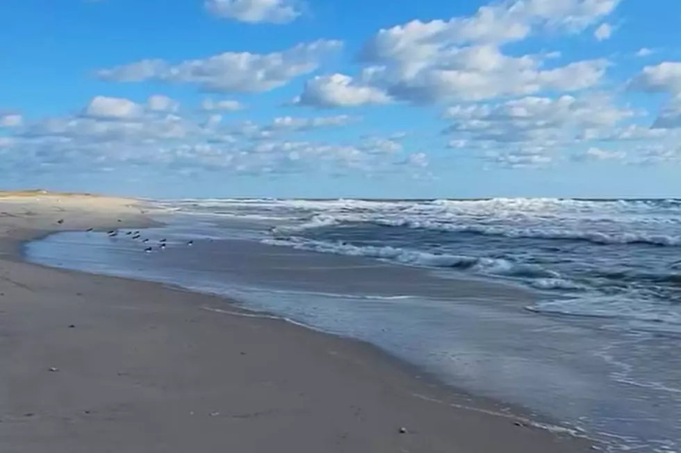
Live from the Shore
Tide Times
| SANDY HOOK Sandy Hook Bay | High Thu 6:16a | Low Thu 12:26p | High Thu 6:31p | Low Fri 12:49a | |
| LONG BRANCH Atlantic Ocean | High Thu 5:50a | Low Thu 11:50a | High Thu 6:05p | Low Fri 12:13a | |
| MANASQUAN INLET Atlantic Ocean | High Thu 6:04a | Low Thu 12:02p | High Thu 6:19p | Low Fri 12:25a | |
| SEASIDE HEIGHTS Atlantic Ocean | High Thu 5:46a | Low Thu 11:54a | High Thu 6:01p | Low Fri 12:17a | |
| SEASIDE PARK Barnegat Bay | High Thu 9:56a | Low Thu 4:31p | High Thu 10:11p | Low Fri 4:54a | |
| BARNEGAT INLET Barnegat Bay | High Thu 6:08a | Low Thu 12:16p | High Thu 6:19p | Low Fri 12:44a | |
| MANAHAWKIN BRIDGE Manahawkin Bay | High Thu 9:03a | Low Thu 4:05p | High Thu 9:18p | Low Fri 4:28a | |
| LITTLE EGG INLET Great Bay | High Thu 6:46a | Low Thu 12:41p | High Thu 6:59p | Low Fri 1:16a | |
| ATLANTIC CITY Atlantic Ocean | High Thu 6:02a | Low Thu 12:03p | High Thu 6:14p | Low Fri 12:31a | |
| OCEAN DRIVE BRIDGE Townsends Inlet | High Thu 6:15a | Low Thu 12:18p | High Thu 6:37p | Low Fri 12:51a | |
| WILDWOOD CREST Atlantic Ocean | High Thu 6:16a | Low Thu 12:10p | High Thu 6:29p | Low Fri 12:41a | |
| CAPE MAY Delaware Bay | High Thu 7:03a | Low Thu 1:02p | High Thu 7:19p | Low Fri 1:30a |
Marine Forecast
From the National Weather Service, Mt. Holly
GALE WARNING IN EFFECT THROUGH LATE FRIDAY NIGHT
TODAY: N winds 20 to 25 kt, increasing to 25 to 30 kt late this morning and afternoon. Gusts up to 40 kt. Seas 9 to 14 ft. Swell mainly from the NE with a dominant period of 12 seconds. A chance of rain until late afternoon, then rain likely late.
TONIGHT: N winds 25 to 30 kt with gusts up to 40 kt. Seas 10 to 14 ft. Swell mainly from the NE with a dominant period of 12 seconds. Rain likely.
FRI: N winds 25 to 30 kt with gusts up to 45 kt. Seas 10 to 14 ft, subsiding to 10 to 12 ft in the afternoon. Swell mainly from the NE with a dominant period of 11 seconds. Rain likely early in the morning, then showers likely in the late morning and afternoon.
FRI NIGHT: N winds 25 to 30 kt with gusts up to 40 kt, diminishing to 20 to 25 kt with gusts up to 35 kt after midnight. Seas 9 to 12 ft, subsiding to 8 to 10 ft late. Swell mainly from the NE with a dominant period of 11 seconds. Showers likely early in the evening, then a chance of showers in the late evening and early morning.
SAT: N winds 15 to 20 kt with gusts up to 30 kt, becoming NE 10 to 15 kt with gusts up to 20 kt in the afternoon. Seas 7 to 10 ft, subsiding to 6 to 8 ft in the afternoon.
SAT NIGHT: NE winds around 5 kt, becoming W after midnight. Seas 4 to 7 ft.
SUN: NW winds 5 to 10 kt. Seas 3 to 5 ft. A chance of rain in the afternoon.
SUN NIGHT: S winds around 5 kt, becoming NW after midnight. Seas 3 to 4 ft. A chance of rain.
MON: NE winds around 5 kt, becoming SE in the afternoon. Seas 3 to 4 ft.
MON NIGHT: S winds 5 to 10 kt, becoming W after midnight. Seas around 3 ft.
Plan Your Trip
Data on this page amalgamated from several sources, including the National Weather Service (weather), National Ocean Service (tides), U.S. Naval Observatory (sun), and the U.S. Environmental Protection Agency (UV index).
More From New Jersey 101.5 FM