Jersey Shore Report for Monday, July 3, 2017
Check the latest weather and surf conditions and forecasts for New Jersey's beaches, boardwalks, and bays.
Advisories
All State Beaches and Parks including Island Beach State Park are CLOSED until further notice due to the state government shut down.
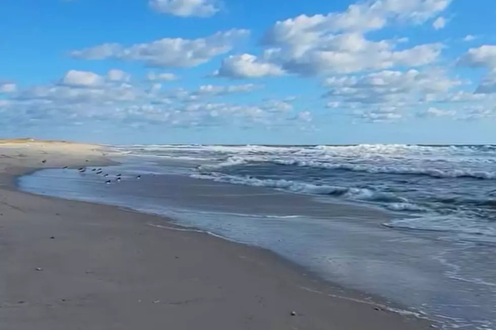
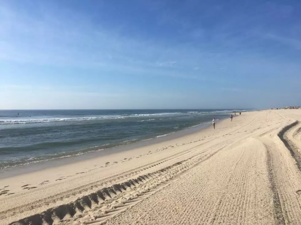
At the Shore
Current conditions and forecast as of Monday morning
| Air Temperature | 74° - 89° |
|---|---|
| Winds | From the West 7 - 16 mph (Gust 22 mph) 6 - 14 knots (Gust 19 knots) |
| Waves | 1 - 2 feet |
| Ocean Temperature | 58° - 75° (Normal 69° - 82°) |
| Sunrise/Sunset | 5:40am - 8:33pm |
| UV Index | 10 (Very High) |
Maps


Tide Times
| SANDY HOOK Sandy Hook Bay | Low Mon 10:32a | High Mon 4:41p | Low Mon 11:11p | High Tue 4:57a | |
| LONG BRANCH Atlantic Ocean | Low Mon 9:56a | High Mon 4:15p | Low Mon 10:35p | High Tue 4:31a | |
| MANASQUAN INLET Atlantic Ocean | Low Mon 10:08a | High Mon 4:29p | Low Mon 10:47p | High Tue 4:45a | |
| SEASIDE HEIGHTS Atlantic Ocean | Low Mon 10:00a | High Mon 4:11p | Low Mon 10:39p | High Tue 4:27a | |
| SEASIDE PARK Barnegat Bay | High Mon 7:42a | Low Mon 2:37p | High Mon 8:21p | Low Tue 3:16a | |
| BARNEGAT INLET Barnegat Bay | Low Mon 10:28a | High Mon 4:42p | Low Mon 11:07p | High Tue 4:58a | |
| MANAHAWKIN BRIDGE Manahawkin Bay | High Mon 6:49a | Low Mon 2:11p | High Mon 7:28p | Low Tue 2:50a | |
| LITTLE EGG INLET Great Bay | Low Mon 10:46a | High Mon 5:14p | Low Mon 11:26p | High Tue 5:28a | |
| ATLANTIC CITY Atlantic Ocean | Low Mon 10:08a | High Mon 4:35p | Low Mon 10:51p | High Tue 4:47a | |
| OCEAN DRIVE BRIDGE Townsends Inlet | Low Mon 10:18a | High Mon 4:52p | Low Mon 11:05p | High Tue 4:59a | |
| WILDWOOD CREST Atlantic Ocean | Low Mon 10:10a | High Mon 4:52p | Low Mon 11:01p | High Tue 5:04a | |
| CAPE MAY Delaware Bay | Low Mon 11:04a | High Mon 5:35p | Low Mon 11:51p | High Tue 5:51a |
Marine Forecast
From the National Weather Service, Mt. Holly
TODAY: W winds around 5 kt, becoming S this afternoon. Seas around 3 ft early this morning, then 2 ft or less. Mainly in S swell with a dominant period of 6 seconds.
TONIGHT: S winds 10 to 15 kt, becoming W 5 to 10 kt in the late evening and early morning, then becoming NW late. Waves 2 ft or less. Mainly in S swell with a dominant period of 5 seconds.
TUE: E winds 5 to 10 kt. Waves 2 ft or less. Mainly in S swell with a dominant period of 7 seconds.
TUE NIGHT: NE winds 5 to 10 kt. Waves 2 ft or less. Mainly in S swell with a dominant period of 7 seconds.
WED: E winds around 10 kt. Waves 2 ft or less, then around 3 ft in the afternoon.
WED NIGHT: E winds 5 to 10 kt. Seas 3 to 4 ft. Patchy drizzle after midnight with vsby 1 to 3 NM.
THU: SE winds 5 to 10 kt. Seas around 3 ft.
THU NIGHT: S winds 5 to 10 kt. Seas around 3 ft. A chance of showers and tstms.
FRI: SW winds 5 to 10 kt, increasing to 10 to 15 kt in the afternoon. Seas 3 to 4 ft. A chance of showers and tstms.
FRI NIGHT: W winds 10 to 15 kt. Seas 3 to 5 ft. A chance of tstms in the evening. A chance of showers. Winds and seas higher in and near tstms.
Plan Your Trip
Data on this page amalgamated from several sources, including the National Weather Service (weather), National Ocean Service (tides), U.S. Naval Observatory (sun), and the U.S. Environmental Protection Agency (UV index).
More From New Jersey 101.5 FM