
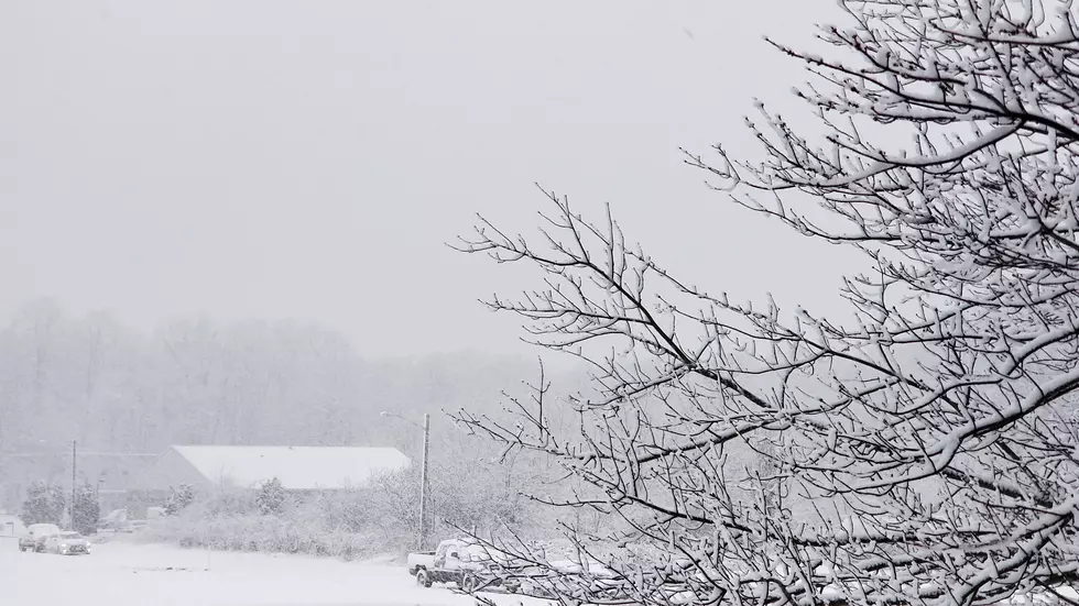
Welcome to the brunt of the nor’easter, New Jersey
Parts of central and southern NJ held on to rain throughout the morning, but heavy snow accumulations will be the big weather story all afternoon.
The Storm So Far (as of Noon)
Top snow total... 3.5 inches at Roxbury (Morris Co)
Top rain total... 1.30 inches at Egg Harbor Twp (Atlantic Co)
Top wind gusts... 47 mph at Sea Girt (Monmouth Co) and Seaside Heights (Ocean Co)
The Transition
Mother Nature kept above-freezing temperatures and plain 'ol rain over central and southern New Jersey through about Noon on Wednesday. While social media trolls were busy calling me a hack and my forecast a total bust, temperatures suddenly dropped and we went from "mostly rain" to "mostly snow and sleet". #Patience
The Brunt
We are now officially in the peak of the storm. As the center of this nor'easter storm system slides by to the Jersey Shore, it is undergoing rapid intensification. Bands of very heavy snow will push through New Jersey over the next several hours. Road conditions are becoming exponentially worse, and the snow is really piling up.
And yes, we've even had scattered reports of thundersnow and thundersleet!
The Forecast
For the duration of the afternoon, intense snow will continue to fall and accumulate. Snowfall rates of 1 to 3 inches per hour will be possible. Starting around 5 p.m. Wednesday, we'll see snow start to taper off in the western part of the state. By about Midnight, snow showers should end completely across the Garden State. Sunshine and 40s ahead for tomorrow!
Some forecasters — notably the Weather Channel and the National Weather Service — have significantly raised their snow total forecast. Up to 20 inches in northeastern New Jersey? Over a foot in Central Jersey? Wowzers. I understand where they're coming from, given the intense convective snow that is clearly on the way. But it's hard to completely justify such a huge bump in totals that is not really bourne out in the forecast models.
The Bottom Line
I've seen the impacts of this nor'easter called "dangerous". Sounds about right, if you attempt to travel anywhere in this wintry mess. Hopefully you heeded warnings, and you stay put inside a nice, warm building for the duration of the storm. If not, extra caution and common sense will be your best friends as you battle yet another Jersey nor'easter.
Winter weather warnings and advisories continue until early Thursday morning for 19 of New Jersey's 21 counties.
Dan Zarrow is Chief Meteorologist for Townsquare Media New Jersey. Follow him on Facebook or Twitter for the latest forecast and realtime weather updates.
More From New Jersey 101.5 FM


