Tuesday NJ weather: Gusty wind, angry ocean, cooler-than-normal temps
Last week, the forecast for this week looked pretty bleak. Rainy and cloudy and miserably cool. And then along came a wildcard — Tropical Storm Arthur — and our weather actually turned a heck of a lot drier and generally better. As Arthur shoves out to sea Tuesday, however, we're still facing some issues. Residents of the Jersey Shore, in particular, should pay attention here.
We're starting out this Tuesday morning with temperatures around 50 degrees, give or take. As we find ourselves right in between Arthur and a stalled storm system over the southeastern U.S., I think we will catch partial sunshine throughout the day.

Peak wind gusts of 30 to 40 mph will occur: 1.) Tuesday morning, 2.) in southern and coastal NJ. Not quite damaging or destructive, just a noticeable nuisance.
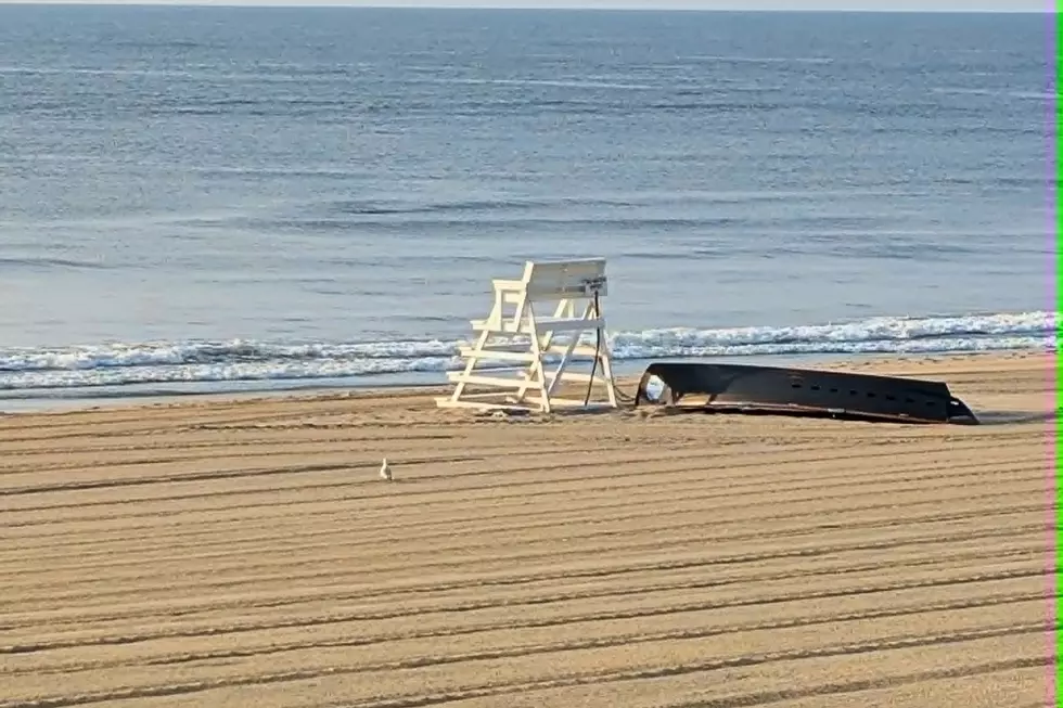
Of course, any time there is a powerful storm system in the western Atlantic Ocean, we have our eyes on the Jersey Shore. 7 to 9 foot ocean waves are expected Tuesday, presenting a high risk of dangerous rip currents. About a foot of storm surge, in combination with the upcoming New Moon (Friday), will threaten tidal waterways with minor category flooding during Tuesday evening's high tide cycle. That translates to "the usual spots," and is a welcome decrease in the flood severity potential from the past few days. As of this writing, no advisories or warnings have been issues along the Jersey Shore — good news!
In addition, because of that strong on-shore wind, temperatures along the Jersey Shore will once again get stuck in the cool upper 50s (at best). Father inland, we'll see mid 60s — slightly cooler than Monday, and about 5 to 10 degrees below normal for mid-late May.
I have to add a slight chance of a shower to Tuesday night's forecast, as a few raindrops could bubble up from that southern storm system. Otherwise, it will be a breezy and cool night. Low temperatures are expected to dip into the mid 40s, our coolest night since last week.
Wednesday looks rather "blah," at least to start. Mostly cloudy skies will limit high temperatures to the upper 50s (coast) to lower 60s (inland). Things could get a little brighter with a late-day pop of sun. It will be breezy and probably dry.
Some improvements are expected Thursday. High temps should push into the lower to mid 60s, under partly sunny and dry skies.
Remember that "stuck southeastern U.S. storm system" I mentioned earlier/ Well, until that system becomes "un-stuck" and until we lose the on-shore wind, I really can't call our weather "pleasant". Although there are still some big variables here, regarding the timing and trajectory of that low, it looks like that change will start on Friday.
Temperatures Friday afternoon should jump into the upper 60s (coast) to lower 70s (inland). Hey, not bad! Increasing clouds are expected, but that's not necessarily a bad thing.
The best chance of substantial rain looks to come Friday evening into Saturday. So, a potentially wet start to the Memorial Day Weekend. But there is still reason for optimism, as I'm not sure that storm system will have much moisture left "in the tank" to produce any degree of heavy, steady rain. We also shouldn't be stuck under raindrops and cloud cover all weekend long, so there's another plus.
As I've mentioned, I think we can offer more specific, confident details about the holiday weekend forecast around Wednesday-Thursday.
Dan Zarrow is Chief Meteorologist for Townsquare Media New Jersey. Follow him on Facebook or Twitter for the latest forecast and realtime weather updates.
More From New Jersey 101.5 FM