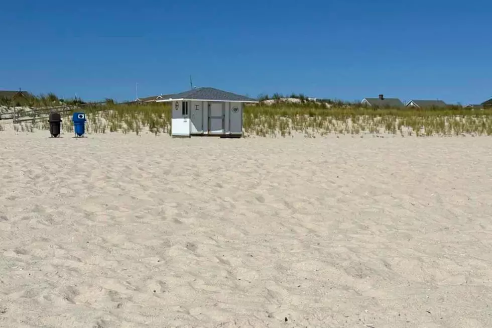
Record warmth for NJ for now, progressive cooldown kicks in this weekend
The Bottom Line
As we pass the midpoint of April, it will still feel like the middle of summer. Wednesday will be very warm and even a bit sticky once again, with highs around 85 to 90 degrees. Most of the day will be quiet and pleasant, with mixed sun and clouds. There is a chance for an isolated strong thunderstorm to form in this soupy atmosphere in the late afternoon to evening time frame, mainly to the north. We will squeeze out one more day of near-record warmth on Thursday. And then changes are set to arrive on Friday, with spotty showers and cooler air, keeping temperatures in the 70s. This weekend will turn even cooler, with a batch of widespread rain in the forecast for daytime Sunday.

Weather Hazards
There is a conditional slight risk of strong to severe thunderstorms Wednesday evening. Any storms that form will be isolated, but will likely be strong with gusty winds and heavy rain possible.
Climatological Context
April 15th is the 105th day of 2026.
Normal high temperatures (long-term averages) for this date here in New Jersey are around 63 degrees. Normal lows range from 42 to 44 degrees.
April is, on average, New Jersey's 6th coolest, 4th driest, and 5th snowiest month of the year.
Wednesday
Wednesday will be another very warm, summer-ish day across New Jersey. Temperatures are starting in the 60s, with a definite hint of stickiness in the air. With a mix of sun and clouds overhead, highs will reach about 85 to 90 degrees for most of the state.
I have to add the chance of an isolated shower or thunderstorm to the forecast in the late afternoon to evening hours. Best chance will be northern to maybe central NJ. To be clear, not everyone will see a storm here — again, isolated. But given our soupy atmosphere, any storm that does form has the capability of exploding with gusty winds, vivid lightning, and heavy downpours.
Otherwise, Wednesday night will be partly cloudy and really not cool at all. Low temperatures will only dip into the upper 60s or so.
Thursday
Thursday will be the grand finale of this week's stretch of near-record warmth. Highs will be back in the mid to upper 80s. (I would not rule out 90+ degrees somewhere.)
Skies will turn mostly cloudy, and it will remain breezy too. Yet again, a late-day shower may pop up, especially in northern New Jersey.
Friday
Changes arrive on Friday. Temperatures will not be as hot — although it will still be quite warm by mid-April standards. The latest forecast shows highs in the mid to upper 70s.
Some forecast models paint spotty showers and thunderstorms over New Jersey during the day. Not a total washout, but we will have to watch for occasional raindrops.
Saturday
Saturday looks like a pleasant, more seasonable April day. As skies progress from sun to clouds, high temperatures will settle around 70 degrees. (Really, that is 65 degrees to the north and along the coast, and 75 degrees to the southwest.)
Sunday & Beyond
Sunday is our next weather transition day, as an extended period of wet weather will be with us through the daytime hours. About a half-inch of total rainfall seems like a good bet from mid-morning through late afternoon. Skies will be cloudy, with temperatures sliding downward from a high around 60.
Early next week looks pretty cool, especially compared to this week's ridiculous warmth. Monday morning could be frosty in the coldest corners of the Garden State. And the afternoon could see high temperatures only around 50 degrees — a far cry from 90, for sure. Don't put the jackets and sweaters away just yet, New Jersey!
Spring has sprung in NJ, check out these flowers
Gallery Credit: Dennis Malloy
Dan Zarrow is Chief Meteorologist for Townsquare Media New Jersey. Follow him on Facebook for the latest forecast and realtime weather updates.
Spring is here: This NJ park is a great place to explore
Gallery Credit: Kyle Clark
More From New Jersey 101.5 FM