
Sunshine alert! Great warm weather across NJ to end July
The week ahead will feature rising temperatures, humidity, and thunderstorm chances.
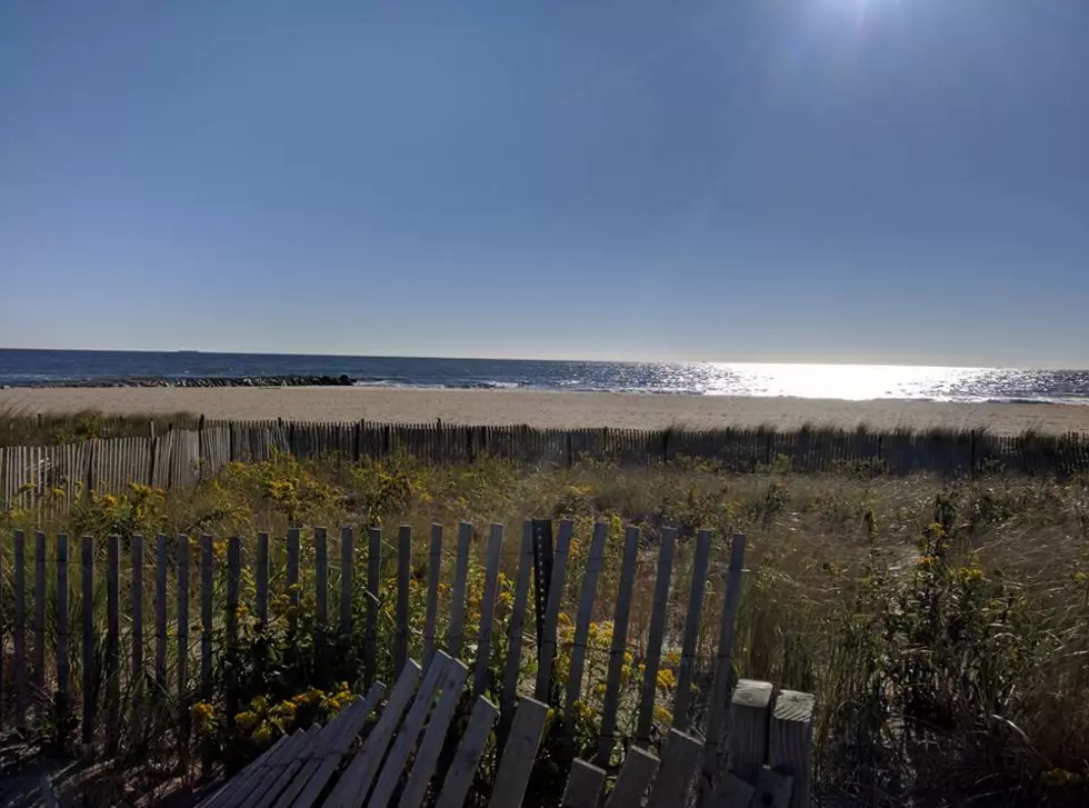
Every Jersey summer weekend is special, but this one was extra interesting. Saturday began with very heavy rain and flooding in South Jersey, with persistent clouds and wind through the rest of the day. Sunday was brighter and warmer — a beautiful weather day — although the Jersey Shore was plagued by rough surf and rip currents.
Monday begins where Sunday left off. Low humidity and still air have allowed for temperatures to tumble quite a bit in non-urban, non-coastal areas of the state. I've seen a few thermometers in the upper 40s Monday morning! Most of the state is starting the day in the 50s, with 60s near NYC, Philly, and the ocean.
No complaints to be found about Monday's forecast. Sunshine will win the sky, with some added fair-weather clouds building in Monday afternoon. Our weather will remain dry, and humidity levels remain fairly low (especially for mid-summer). Inland high temperatures will bump into the seasonable mid 80s. Along the coast, the sea breeze will do its job in keeping beaches cooler, in the upper 70s or so.
Meanwhile, surf conditions look better on Monday, with ocean waves reducing to about 3 feet and the rip current risk decreasing to Moderate. It's still a smart idea to exercise extra caution in the ocean — swim only on guarded beaches, and never alone. No matter how strong a swimmer you are, the ocean is stronger.
Light winds and reasonable humidity levels will lead to a clear and comfortable Monday night. Low temps should fall to the upper 60s across most of the state, with lower 70s for the state's urban corridors and along the coast.
Skies on Tuesday will progress from mostly sunny in the morning to partly sunny in the afternoon. Still a beautiful summer day to begin the month of August, with high temperatures warming a few degrees into the upper 80s (away from the ocean). I can't completely rule out a shower or thunderstorm, but the rain threat looks to be limited to the northern and western edges of the Garden State.
By Wednesday, it's going to be noticeably more humid and more unsettled. Clouds will overtake the sky, in the partly to mostly cloudy range. High temperatures will peak in the upper 80s to around 90 degrees. And a weak storm system will probably fire off scattered showers and thunderstorms across New Jersey from Wednesday afternoon through Wednesday evening Again, the key word here is scattered — not everyone will see a storm.
Thursday looks to be bookended by raindrops, with a chance for a shower or storm both in the morning and evening hours. In the middle, it will be a mostly cloudy, breezy, hot, and humid day. High temperatures across most of New Jersey will once again reach the upper 80s or lower 90s.
Eventually, a cold front will put an end to the humid and unsettled weather. At the moment, it looks like we'll feel the effects of that front on Friday, with additional showers possible. And then the cooling effects of the front will hopefully take over for the weekend. That timeline, however, is subject change dramatically as the week goes on. We'll keep in touch.
Dan Zarrow is Chief Meteorologist for Townsquare Media New Jersey. Follow him on Facebook or Twitter for the latest forecast and realtime weather updates.
More From New Jersey 101.5 FM


