

Sorry NJ, Thursday’s break of dry weather is only temporary
Once misty drizzle departs New Jersey early Thursday, we will catch a brief period of drier, brighter, warmer weather. Rain chances will ramp up again late Friday. And yes, unfortunately, wet and stormy weather will potentially affect part of this weekend.

Thursday NJ weather: Storm system exits
Rainfall totals on Wednesday varied greatly from one end of the state to the other. While far northern New Jersey picked up about two tenths of an inch of rain, South Jersey exceeded two inches. What a soaker! And what a disgustingly wet day — as I have said, an all-too-familiar story this spring.
New Jersey will enjoy some welcome weather improvements on Thursday.
Having said that, it is still quite wet through most of the state Thursday morning. As of this writing (6:30 a.m.), there is not much falling from the sky. But it is drizzly and misty and foggy, with lots of puddles and spray around. That will likely be the case until about mid-morning, with clearer conditions prevailing after about 9 a.m.
I'm hopeful we will see peeks of sun by Thursday afternoon, although clouds will continue to win the sky. It should be a dry and mild afternoon, with high temperatures in the lower 70s. Technically, that is a hair below normal for late May. But quite comfortable. And about 15 degrees warmer than Wednesday.
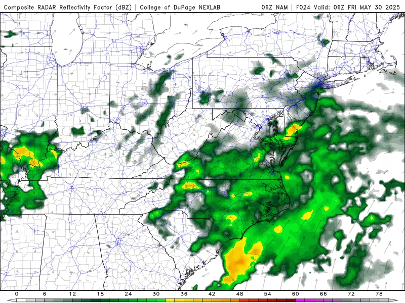
Thursday night will stay mostly cloudy, with a low temperature around 60. It looks like a batch of showers will clip southern and coastal New Jersey late night. That will be just a little bit a rain — maybe a few hundredths of an inch, at the most.
Friday NJ weather: Starting dry, ending wet
Modern-day weather forecasting is all about forecast models. Some of the most powerful computers in the world spit out educated guesses about what the weather might do. And then my job as a meteorologist is to analyze and interpret that output to determine what is consistent and plausible and most likely.
In this case, just about every model shows several waves of rain coming into play for New Jersey from Friday into Saturday. Just how much rain, however — a half-inch vs. two inches — is still a bit up in the air. As I describe how this is going to play out, I recommend you keep your plans as flexible as possible through the first half of the weekend.
I will say that most of the daytime hours on Friday look dry. Expect a mix of clouds and some sun, with high temperatures reaching the lower to mid 70s. The air may feel a bit sticky by the end of the day, as dew points rise into the 60s.
Rain chances will increase starting late afternoon, around 3 or 4 p.m., as our next impulse rides in. This time around, showers and thunderstorms will be scattered — broken apart, instead of steady and persistent.

The heaviest and most widespread rain will push through New Jersey Friday night. I think it is really going to pour in spots, given the relative warmth and humidity in the air during the day. I will even say there could be some minor flooding or gusty wind concerns — just something to watch out for.
Saturday NJ weather: Waves of showers and storms
Saturday will still be unsettled and occasionally wet. But let's be careful about calling it a total washout — I think there will be periods and pockets of dry weather around the state this time around.
As waves of showers and thunderstorms pass over New Jersey through the Saturday daytime hours, it will stay mostly cloudy and breezy. But at least it will not be miserably cool — high temperatures should still reach about 70 degrees.

Once we reach the late afternoon to early evening time frame Saturday, rain chances should subside. Skies will start to clear. And cooler air will move in — at least part of the state will probably dip into the chilly 40s Saturday night.
Sunday NJ weather and beyond: Finally drying out
Sunday is the first of June. And even though Mother Nature does not have a calendar, the weather will flip a switch as we flip the page from May to June.
As a high pressure works into New Jersey's atmosphere on Sunday, skies will become mostly sunny. It will be breezy and relatively cool. I estimate highs will be limited to the mid 60s — that is about 10 degrees below normal for this time of year. Honestly, I think it will be a refreshing kind of day after such a long stretch of raindrops, cloud cover, and humidity.
Sunshine continues through the first half of next week, alongside a marked warming trend. 70s return for Monday and Tuesday, climbing into the 80s by Wednesday. Some toasty June-tastic weather!
Next chance of rain would be toward the end of next week.
POP QUIZ: Can you guess these NJ landmarks from Google Earth images?
Gallery Credit: Dan Zarrow
Dan Zarrow is Chief Meteorologist for Townsquare Media New Jersey. Follow him on Facebook for the latest forecast and realtime weather updates.
POP QUIZ: Can you name all 10 interstate highways in New Jersey?
Gallery Credit: Dan Zarrow
More From New Jersey 101.5 FM


