

NJ weather this week: Warm and humid, then wet, then cool and dry
The Bottom Line
As this post's headline suggests, a slow-moving cold front will break our weather for this week into three parts: 1.) Warm, humid, and somewhat unsettled, 2.) Pockets of heavy rain, and 3.) Cooler, pleasant fall weather.
Monday
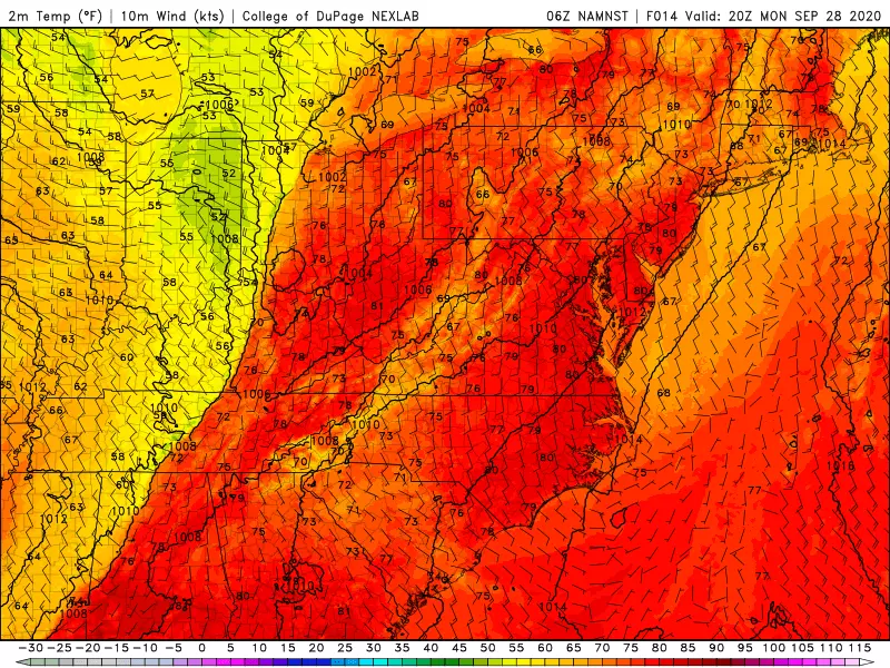
We ended the weekend on a summer-ish note, and that's where we stand for Monday too. In fact, I've opted for a "persistence" forecast — essentially "copy-and-pasting" Sunday's numbers into Monday's forecast.
We are starting off damp across much of the state, with spotty showers and drizzle, patchy fog, and low clouds through about mid-morning. (Most of the rain activity will be in northern New Jersey going forward.) And it's pretty steamy too, with temperatures close to the 70-degree mark. That is 10 to 15 degrees above normal for the last week of September.
By Monday afternoon at the latest, our sky will turn much drier and sunnier. It will be another unseasonably warm day, as high temperatures push to near 80 degrees. Nice!
Clouds will roll back in Monday night, as conditions remain muggy. Overnight lows only fall into the mid-upper 60s.
Tuesday
Squeezing out one more mild day. Despite mostly cloudy skies, high temps should still push into the 75 to 80 degree range. While I can't rule out a shower during the day, the best chance of rain will hold off until dinnertime and later.
That's our slow-moving cold front. Rain will envelop New Jersey and become steadier Tuesday night into Wednesday.
Wednesday
It looks like we're really going to get soaked on Wednesday. Pockets of heavy rain are possible both early and late. Model consensus puts rainfall totals across the entire state in excess of 1 inch. We've been so dry lately that such heavy rain does not pose a huge flooding risk.
However, the NAM is painting 2+ inches from the morning round of rain and 3+ inches in the evening for part of the state. That's a lot of rain. I suspect this solution taps into some tropical moisture — which seems a stretch, given our impending cold front and cooldown. However, it's a "back of mind" scenario amidst a day that will be wet and grey.
Because of the raindrops and cloud cover, temperatures will start to slide backward Wednesday. Highs will only reach the lower 70s or so.
Thursday
Rain may linger into Thursday morning. Then our new, cooler, drier air mass really settles in. Skies should clear to sunshine by Thursday afternoon. And once again, high temperatures will only reach the (seasonable) lower 70s.
Friday and Beyond
Pleasantly cool and dry fall weather will carry into the first weekend of October. I'm seeing highs between 65 and 70 degrees for Friday, Saturday, and Sunday. Temperatures could come close to the frost zone in the early morning hours too. Time to break out the hoodies and pumpkin spice again!
Our next chance of substantial rain looks to come in the Sunday night-Monday time frame.
Meanwhile, it's worth noting that the tropical Atlantic has gone dead silent. After about a month of nonstop storms, this is a welcome change of pace. But the Atlantic hurricane season is far from over. Of course, if anything pops up and threatens New Jersey's sky or surf, you'll be among the first to know.
Dan Zarrow is Chief Meteorologist for Townsquare Media New Jersey. Follow him on Facebook or Twitter for the latest forecast and realtime weather updates.
More From New Jersey 101.5 FM


