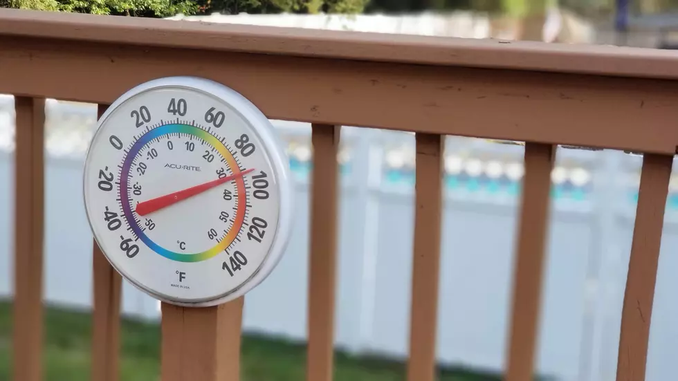
The heat is on again, NJ: Six days of 90s, high humidity, and spot storms
The Bottom Line
The heat is on, New Jersey! Over the next six consecutive days, temperatures will run about 5 to 10 degrees above seasonal normals for early August. We are expecting scorching hot widespread afternoon highs in the 90s and stifling morning lows in the 70s. While it is not the “worst” heat wave of the season, and we will not be breaking any records, you still need to take care of yourself in such harsh conditions. Meanwhile, an almost daily chance of pop-up thunderstorms is in the forecast too. Thursday’s storm threat should be pretty isolated, although Friday’s looks more widespread. Even though humidity will dial back a bit over the weekend, the heat will remain. Don’t expect the sultry, steamy, occasionally stormy weather pattern to really break until the middle of next week.

Weather Hazards
A Heat Advisory goes into effect for all or part of 18 New Jersey counties at 10 a.m. Thursday, continuing through at least Saturday evening. (FYI, I expect that advisory to be extended through the weekend too.) That serves as a formal heads up that this flavor of heat and humidity goes beyond "regular" summertime conditions.
The heat index — the summertime “feels like” or “apparent” temperature — will flirt with the triple digits for the duration. Be sure to dress for the heat and humidity, stay extra hydrated, and take frequent cooldown breaks throughout this heat wave.
While most thunderstorms over the next week will be isolated to widely scattered, they could still pack a punch given the heat (energy) and humidity (moisture) in the atmosphere. The best environment for a gusty, super-soaker storm on Thursday will be in northwestern New Jersey. Friday’s thunderstorm chance looks more widespread.
Climatological Context<
August 6 is the 218th day of 2026.
Normal high temperatures range from 85 to 86 degrees, while normal low temperatures range from 66 to 69 degrees.
August is, on average, New Jersey’s second hottest and second wettest month of the year.
Thursday
Yes, it is "supposed to be" hot in summertime here in New Jersey. This goes a little bit beyond that, especially with humidity levels off the chart.
It is not cool at all across New Jersey Thursday morning, with temperatures in the 70s. It is not a friendly start to the day.
Thursday will be mostly sunny, hot and humid. High temperatures will climb to around 90 degrees. The heat index is forecast to reach the upper 90s. We are not breaking records here, but this is harsh enough to take seriously.
There will be some relief from the heat at the Jersey Shore as long as the sea breeze is able to set up. However, the humidity remains, so do not expect anything resembling "cool and comfortable" conditions. Mainland beaches especially could still come close to 90 degrees. The rest of the Shore Report looks good, with a low risk of rip currents and ocean temperatures between 76 and 80 degrees.
Most of New Jersey stays dry Thursday. There will be a limited chance for a popup thunderstorm late-day. Even though the atmosphere is hot and juicy, there is no big spark to start widespread storm development. So just isolated late-day storms are expected, mainly to the northwest.
Thursday night stays mainly clear and steamy, with lows only dipping into the middle 70s. One of the worst parts of a heat wave is when the heat and humidity prevent New Jersey from really cooling down and resetting at night.
Friday
Highs soar into the lower 90s. Another scorcher.
Expect sun and clouds Friday. High humidity will again put the heat index near 100 degrees.
Friday’s thunderstorm chance looks more widespread and more impactful than Thursday’s. Scattered strong thunderstorms may develop from late afternoon through early evening. Not every town will get hit, but any storm that does pop could produce heavy rain, gusty wind, and dangerous lightning.
Saturday
The heat wave continues this weekend.
On Saturday, skies will be partly sunny, as highs reach the lower 90s. It will still be humid. And once again, a spot thunderstorm is possible.
Sunday & Beyond
One glimmer of good news for Sunday: Humidity may dial back a little bit. It will still be hot though.
Expect mostly sunny skies, and highs around 90 to 95 degrees.
Daily highs in the 90s are expected to continue Monday and Tuesday. The sultry, steamy, occasionally stormy weather pattern does not look likely to break until around the middle of next week, around Wednesday.
Here's why NJ heat waves can be incredibly dangerous
Gallery Credit: Dan Zarrow
Dan Zarrow is Chief Meteorologist for Townsquare Media New Jersey. Follow him on Facebook for the latest forecast and realtime weather updates.
Significant or historical events in New Jersey for August (in chronological order)
Gallery Credit: Dan Alexander
More From New Jersey 101.5 FM