
Icy mix and rain wrap up Thursday, 2 more winter storms eyeing NJ
UPDATE... This article is outdated...
For the latest storm forecast information, please refer to my newest weather blog post.
The Bottom Line
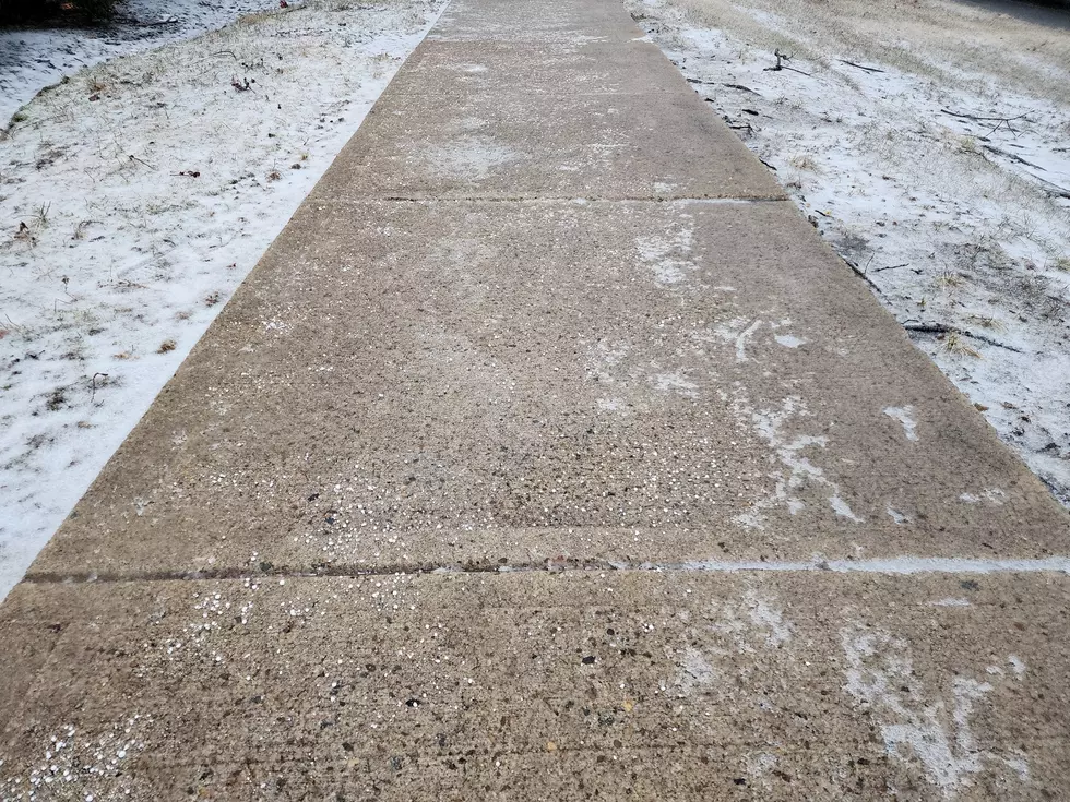
So far, Thursday morning's winter storm is playing out pretty close to forecast. The weather is icy. The ground is crunchy and slippery. Hundreds of New Jersey school districts opted to delay their open, and with good reason — even major roads are treacherous in spots.
Conditions will vary depending on exactly where you are and what is falling from the sky.
Once this storm wraps up early Thursday afternoon, we get to catch out breath for about 48 hours. Another wintry mess is in the forecast for this weekend.
And then another storm system around Tuesday of next week looks like more of a traditional "snow" storm for the Garden State.
After I finished making my forecast this morning, I literally dropped my pen in disbelief and disgust. It has been a long time since we have seen an extended train of impactful winter storms like this.
Hold on tight — mid-February is going to be a bumpy, wintry ride.

Thursday: Icy Mix then Rain
As of this writing (7 a.m.), the dominant precipitation types around New Jersey are sleet and freezing rain. As a near worst-case icy mix scenario plays out, things are becoming very slick.
Two things are going to happen as Thursday morning progresses:
1.) The heaviest bands of precipitation — the "brunt" of the storm — will push in from the west. So, to an extent, the worst weather is yet to come through mid-morning.
2.) Warmer air is penetrating the lower and middle layers of the atmosphere. That is already causing NJ's southern coast to switch to plain rain. The rain-ice line will continue traversing northward through the morning.
By about 9 or 10 a.m. Thursday, I suspect the majority of New Jersey will have made the flip to plain rain. Road conditions should improve dramatically once we transition from "wintry" to "just wet".
Any remaining icy mix and rain will exit New Jersey early Thursday afternoon, around 1 or 2 p.m.
The rest of the afternoon will be cloudy and even foggy. High temperatures will range from the mid 30s (north) to mid 40s (south).
There is very little danger of a refreeze Thursday night. Residual wet surfaces and puddles will not be able to ice over overnight, as low temperatures only dip into the mid 30s or so. Above the freezing mark.
Friday: Quiet but Blustery
Bright, but breezy.
Under partly sunny skies, we should reach a seasonable and fairly pleasant high temperature in the lower 40s by midday Friday.
However, starting Friday afternoon, temperatures will go the other direction as colder air returns. A brisk westerly wind will kick up, gusting between 20 and 30 mph. Thermometers will fall through the 30s.
The Next Storm: Saturday-Sunday
That's right, another winter storm is in the forecast for this weekend. And the mixed bag of impacts look remarkably similar to our last storm.
Saturday starts cloudy and cold. High temperatures will only reach the mid 30s.
There is a chance for a snow shower at any time on Saturday, especially clipping the southern edge of the state.
The main body of this next area of low pressure will come into view Saturday afternoon. Widespread snow will spread across New Jersey, from southwest to northeast, through Saturday night.
However, once again, warmer air will penetrate our atmosphere, forcing a transition to an icy mix of sleet and freezing rain for a good chunk of the state. The storm then looks to switch to plain rain before ending around daybreak Sunday.
The weekend storm has a bit more "oomph" behind it, meaning it is trending to be more dynamic and slightly colder. Therefore, it looks a bit more impactful.
I am not prepared to draw a detailed snow/ice accumulation map just yet. (That will come either Thursday afternoon or Friday morning.) But just to put some numbers on the forecast, I could see up to 6" of snow accumulation in North Jersey. Very little to the south. And up to a quarter-inch of ice is possible for the central and western parts of the state. Again, a slippery glaze.
If you have plans late Saturday night or Sunday morning, keep a very close eye on this forecast. We will have much more to say once the current batch of inclement weather wraps up.
The Next Next Storm: Early Next Week
Yup, another one. For several days now, forecast models have shown a strong signal toward a storm system centered on next Tuesday.
At five days away, all we can really say with confidence is that there will be a storm in our neighborhood. Current guidance suggests an almost all snow scenario, excepting the southern coast.
Given the latest data, I would put widespread accumulations in the 3 to 6 inch range — but that is very much subject to change, as the track and temperature forecast shifts in the coming days.
Nothing to stress about yet. No panicking allowed. Just the next next weathermaker to watch.
The Extended Forecast
Temperatures trend cold next week. And Mother Nature may continue to throw storms our way too.
I'm seeing another possibility around Thursday-Friday next week. And then another one toward the end of the President's Day weekend. There is zero confidence whether these will actually occur. And zero confidence about what will fall from the sky — snow, ice, rain, or all of the above.
As always, let's take it one storm at a time.
Let it snow: 12 things to know about winter forecasting in NJ
Gallery Credit: Dan Zarrow
Dan Zarrow is Chief Meteorologist for Townsquare Media New Jersey. Follow him on Facebook for the latest forecast and realtime weather updates.
Final flakes: When does snow season end in NJ?
Gallery Credit: Dan Zarrow
More From New Jersey 101.5 FM


