
Winter Weather Advisory: Another little shot of snow Sunday night
This is yet another minor winter weather event that is going to disappoint practically everyone in New Jersey. I'm sure the majority of social media comments I receive will be one of the following:
—Ugh, I want a big snow storm!
—Ugh, enough of these little snow storms, I want summer!
—Ugh, it's hardly even a storm stop hyping the forecast!
—Ugh, that weatherman is never right, it's probably going to snow two feet!
I was on the fence about even producing a snow map and blog for this storm, especially since Monday is a holiday (President's Day) and the morning commute should be very light. However, there could be some travel difficulties in North Jersey overnight due to snow and ice, so it's worth my time to write and your time to read.
Here's the rundown...
Quiet During the Day
No problems during the day. Skies become mostly cloudy by Sunday afternoon (if they aren't already). Temperatures will struggle to make it past the 40 degree mark.
Turning Wintry at Night
Our first showers of the day will creep into western New Jersey around 7-8 p.m. Sunday, spreading across the entire state by about 9-10 p.m. Initial precipitation type is likely to be snow and sleet, with a quick changeover to all rain for the southern half of the state (by around Midnight). An eventual transition to all/mostly rain is expected south of Interstate 78, through early Monday morning. North Jersey will likely remain cold enough for snow and sleet (or at least a messy wintry mix) for the duration.
Totals
Just like last week's "mix storm," a variety of winter weather conditions will make for potentially treacherous travel. The uncertainty regarding our temperature profile and precipitation type (snow vs. sleet vs. freezing rain) is the big difficulty in pinpointing potential accumulations.
I believe the potential exists for 3-inch "advisory level" snowfall in northern New Jersey, north of a line between about Flemington and Ft. Lee. IF the predominant precipitation type turns out to be snow. As you would guess, any mixing could significantly lessen those totals. But sleet and freezing rain could lead to a just-as-dangerous glaze of ice.
Three inches of snow and light icing is a pretty good threshold for potential travel issues and school delays — if, of course, school were actually in session on Monday (President's Day).
For central and southern New Jersey — approximately the area south of Interstate 78 — don't expect much. A quick dusting to healthy coating of snow is possible at the start, but should be washed away by the subsequent rain. Sure, there could be slippery spots and periods of low visibility. But this is not a blockbuster storm.
Winter Weather Advisory
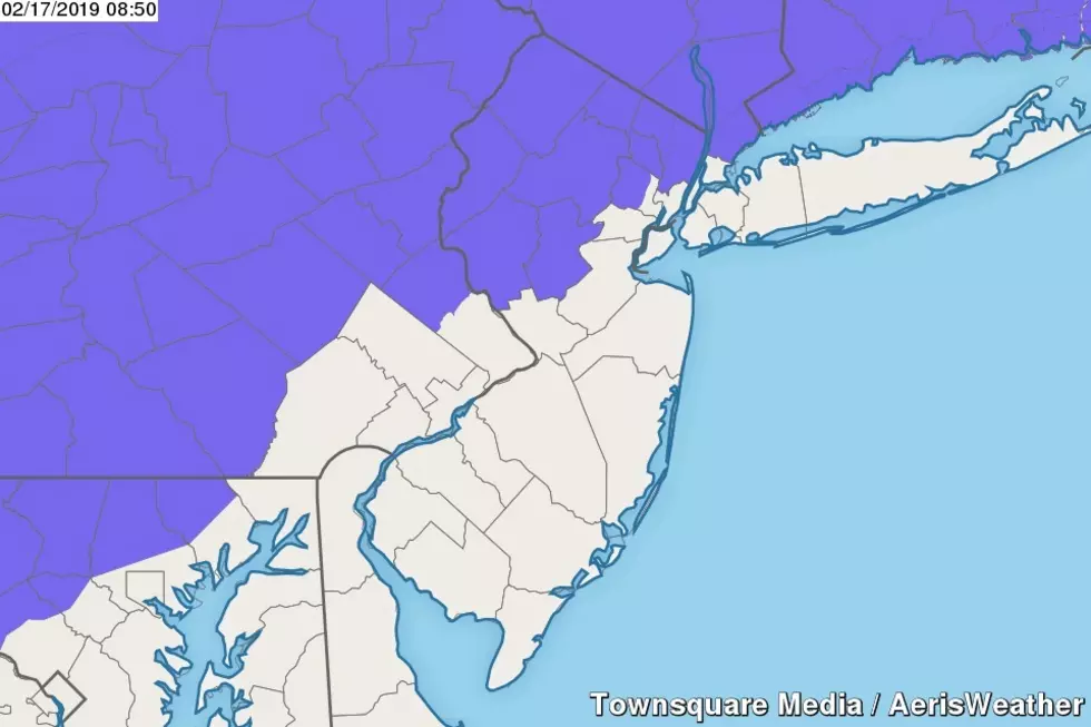
I believe the National Weather Service nailed the geography on Sunday night's Winter Weather Advisory, in effect from 9 p.m. Sunday to 10 a.m. Monday for the following counties in New Jersey: Bergen, western Essex, Hunterdon, Morris, Passaic, Somerset, Sussex, Warren.
An advisory simply serves as a formal heads-up to sloppy road conditions. This is not a major or "bread and milk" storm.
What's Next?
The rest of Monday looks mostly cloudy and blustery, with wind gusts popping over 30 mph. Daytime high temperatures in the lower 40s, nighttime lows in the mid 20s, wind chills probably dipping into the teens.
Sunshine returns for Tuesday, a dry and chilly weather day. Highs will only reach the mid 30s.
Another storm system is forecast to arrive in New Jersey Wednesday midday through Thursday midday. This one warrants a raised eyebrow, as temperatures and track could be conducive to a more significant mess of snow, sleet, and ice. However, at this moment, models are showing a rather tame "few inches of snow/sleet changing to rain" solution. I am invoking my usual one storm at a time rule — we'll nail down details for the next burst of snow after things taper off on Monday.
Be safe and stay warm! Next weather blog update is scheduled for early Monday morning.
Dan Zarrow is Chief Meteorologist for Townsquare Media New Jersey. Follow him on Facebook or Twitter for the latest forecast and realtime weather updates.
More From New Jersey 101.5 FM


