
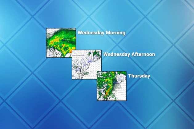
Wednesday NJ weather: From wet to dry to wet again
The Bottom Line
It's raining. It's pouring. Our soggy, unsettled weather week has really ramped up here. One batch of soaking rain is pushing through New Jersey as I type this Wednesday morning. The wet weather will make for a very wet ride to work or school, and some spots have already picked up over an inch in the bucket.
After this first batch of rain wraps up around late morning, we'll catch a dry period of almost 24 hours. Then our next storm system will once again drive in pouring rain, although with some rumbles of thunder.
If you're looking to see the sun again, you'll have to wait until Friday. That will be the start of a brighter, drier, and (eventually) warmer weather pattern.
Wednesday
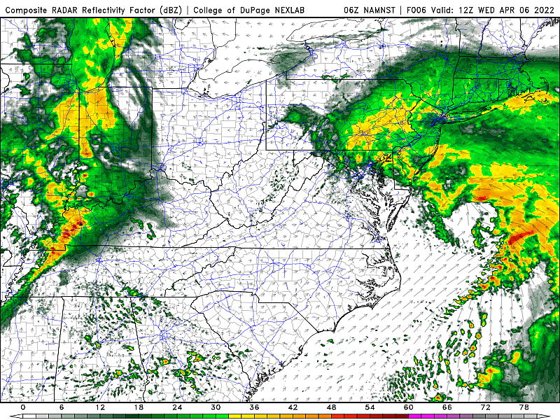
As of this writing (6 a.m.), it is pouring across all corners of New Jersey. We have several more hours of wet weather ahead for Wednesday morning. While there may be some big puddles impeding your AM commute, widespread flooding is not an issue. Nor are big wind gusts or severe weather.
I expect rain to taper off between about 9 a.m. and Noon, generally from southwest to northeast.
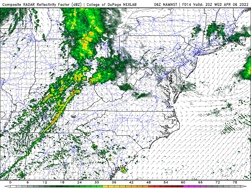
Wednesday afternoon will be dry. It is going to stay cloudy and a bit "blah". Temperatures will climb from the 40s early on, into the mid 50s through the afternoon. (Almost identical to the last two days.)
Wednesday night looks mainly dry too. I could see a few rain showers clipping NW NJ after Midnight. Otherwise, it will be cool and mostly cloudy, with patchy fog possible. Lows will dip into the mid 40s by Thursday morning.
Thursday
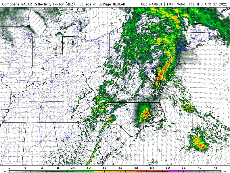
Another super soaker. I wouldn't call it a "total" washout, as we'll catch some pockets of dry weather (especially early and late). But your outdoor plans during the daytime hours are going to be in serious trouble.
Expect periods of rain from mid-morning Thursday through at least early evening. There will almost certainly be pockets of heavy stuff out there. And probably some rumbles of thunder developing in the afternoon and evening hours. (I am somewhat concerned about severe wind gusts developing late-day too.)
By the end of Thursday's rain, we'll have a fresh inch or two of rainfall in the bucket. That will give us a grand total of 2 to 3 inches for most of the state for the week. Very good news, given our drought concerns - reservoirs and vegetation are getting a nice, long drink this week.
Friday
Finally turning brighter, drier, and warmer.
I can't rule out a stray shower or two, especially in the early morning and late evening hours. Friday daytime looks good. Partly sunny, with a light breeze. High temperatures should push into the lower 60s. It has the potential to be our nicest day of the week.
The Weekend & Beyond
I like what I see for the weekend too, although a few raindrops may clip the state from the northwest early Saturday. Both Saturday and Sunday will feature a mix of sun and clouds, with barely-below-normal high temps somewhere in the 50s.
If you're craving warmer, spring-tastic temperatures, you'll like the forecast for next week. 60s on Monday, 70s on Tuesday. Mainly dry weather should make for a nice stretch of weather heading into the big Passover/Easter holiday weekend.
Dan Zarrow is Chief Meteorologist for Townsquare Media New Jersey. Follow him on Facebook or Twitter for the latest forecast and realtime weather updates.
How the world saw New Jersey — 1940s to 1980s
Gallery Credit: Nicholas Damelio
See How School Cafeteria Meals Have Changed Over the Past 100 Years
Gallery Credit: Madison Troyer
More From New Jersey 101.5 FM


