

Unsettled, cloudy, and occasionally wet start to the week for NJ
Happy Monday! As we start a new workweek, let me restage our current weather situation with a few noteworthy tidbits:
—Normal temperatures continue to cool. Average highs range from 68 to 70 degrees. Average lows currently run 47 to 51.
—Although we've had a bit of rain so far in October, most of the state is still running a precipitation deficit.
—Days are getting shorter and nights are getting longer as we slide toward the Winter Solstice. Sunrise now occurs after 7 a.m. with sunset around 6:30 p.m.
—Thanks to our overall cooler air temperatures, ocean water temperatures have been crashing. Currently running 65 to 68 degrees along the Jersey Shore. That's still above-normal for early October (61 to 63).
Your weather for the first half of this week is dominated by two storm systems: a slow-moving cold front, and a slow-moving coastal storm. These will contribute to an overall complicated and unsettled forecast.
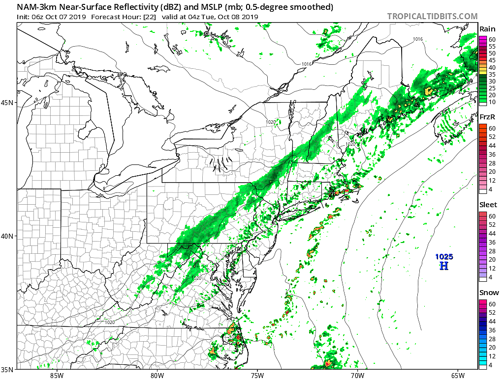
Monday morning is starting out with a smattering of sprinkles passing through northern New Jersey. A band of steady rain, associated with our impending cold, is back to the west over central Pennsylvania. It's going to be a warm and fairly humid day — AM temperatures are close to normal PM in the upper 60s, with highs in the upper 70s to around 80 Monday afternoon. It will be quite breezy too, with southerly gusts as high as 30 mph.
The best chance of rain will come Monday evening (after about 4 p.m.). But even then, the main impulse (the heaviest rain) will pass to our north. And this front is moving too slowly to generate substantial lift (and therefore heavy rain or strong thunderstorms). I think everyone in New Jersey will see a batch of rainMonday night. You might even hear a rumble of thunder. But overall, rainfall totals will be rather unimpressive, on the order of a tenth to a quarter of an inch.

Raindrops may linger on Tuesday, especially in the morning hours and especially along the Jersey Shore. Even so, lots of clouds will accompany cooler temperatures. Highs will only reach into the below-normal mid 60s.
And the chance of rain continues on Wednesday, as a coastal storm slides by. But that is far from a guarantee — the confidence of this system's track is low, as an atmospheric block makes it "meander" just to our east (rather than shooting out to sea). The exact distance of that system to New Jersey will directly dictate who gets rain (and who doesn't), how much, and for how long. Once again, the best chance for wet weather will be along our coastline. At the very least, it will be a cloudy, breezy, and cool day with thermometers stuck at 60 degrees.
This is just one of those instances where we have to let Mother Nature play out a little bit more before offering more detail in the forecast. Sometimes, I can give you an hour-by-hour play-by-play of the forecast days in advance. Sometimes, I just can't.
I am optimistic that we'll dry out a bit on Thursday, with some peeks of sunshine. With a stiff northerly breeze, high temperatures will once again be limited to about 60.
For now, I'm also seeing a shower chance on Friday, with a generally dry weekend. But that forecast is highly dependent on how the first half of the week plays out.
Keep the jacket and umbrella handy this week, and enjoy the unsettledness!
Dan Zarrow is Chief Meteorologist for Townsquare Media New Jersey. Follow him on Facebook or Twitter for the latest forecast and realtime weather updates.
More From New Jersey 101.5 FM


