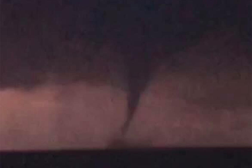
‘Probable tornado’ in North Jersey, water spout in South Jersey
The National Weather Service has lifted tornado warnings — issued around 8 p.m. Tuesday — for several North Jersey counties, recovering amid widespread power outages and potentially significant damage.
An NWS spotter reported possible tornado damage in Mount Arlington around 8:30 p.m. Lenape Valley Regional School District in Stanhope has said on its website classes will be canceled Wednesday.
An NWS spotter had reported damage to the high school with people trapped inside, with injuries, but New Jersey 101.5 has not yet confirmed that report. News 12's Alex Lombardo tweeted around 10 p.m. that was not the case, citing fellow News 12 reporter Marci Rubin at the scene saying there were two minor injuries after a tree fell on a car, but no one inside the school was hurt.
New Jersey 101.5 Chief Meteorologist Dan Zarrow said, based on radar signatures, a "probable tornado" affected parts of Netcong, Stanhope, Hopatcong, and Mount Arlington around 8:30 p.m.
News 12's Jessica Layton shared the following video of damage to the area on Twitter:
Until about 9:30 p.m., Warren, Sussex, Morris, Hudson, Cumberland and Essex had been under the tornado warning, a serious indication that severe thunderstorms with tornadoes are imminent or occurring.
The National Weather Service planned a tornado survey around Sussex County for Wednesday. It also confirmed a tornado touched down near Morgantown in Berks County, Pennsylvania.
The National Weather Service earlier Tuesday issued a tornado watch — a less severe alert — for six counties in western New Jersey: Burlington, Camden, Gloucester, Hunterdon, Mercer, and Warren. The watch is was in effect until 10 p.m.
As of 10:20 p.m., JCP&L was reporting about 12,000 customers without power statewide, mostly in the Morris and Sussex County areas. PSE&G showed only scattered outages in its territory.
Much further south in New Jersey, in Cumberland County, a water spout was cited by a member of the Downe Township Fire and Rescue Dive Team, the team reported on Facebook:
The biggest hail reported was ping-pong-ball-sized in Pennsville, Salem County.
Late Tuesday night, Bergen, Essex, Hudson, Passaic, and Union counties remained under flood advisories.
Other serious weather sightings:
— With reporting by Dan Zarrow and Dan Alexander
This post previously included an embedded tweet from Jersey Shore InMotion purporting to show an image from Mays Landing; the origin of that image is unclear and the tweet has been removed from this post.
More From New Jersey 101.5 FM


