

NJ’s coldest weather in years: Two days with highs in the teens
The Bottom Line
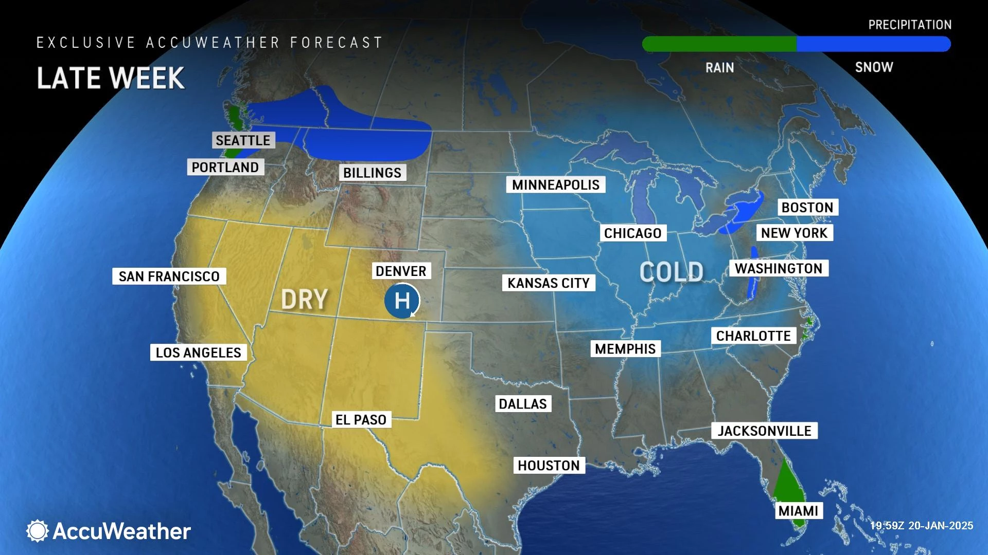
This cold air mass is incredibly broad-reaching. Everything east of the Rockies is cold. Winter storm warnings are posted along the Gulf coast, from Texas to Florida. The bullseye of that storm system is southern Louisiana, expecting up to a half-foot of snow. Wild!

Here at home, the next two days will be among the coldest of the entire year, with mornings in the singles and afternoons in the teens. Luckily, the wind will not be that fierce — but any breeze will bite in this cold, cold air. A Cold Weather Advisory is in effect for most of New Jersey until at least Noon Wednesday.
A slight warmup will come at the end of the week. We have a few snowflakes to talk about in the forecast, but nothing substantial until next week (at the earliest).

Tuesday
If this isn't the time to wear the heaviest, warmest clothes in your wardrobe, I don't know what is.
As of this writing (6 a.m.), temperatures range from -15 to 16 degrees across the state. Yes, that is the actual air temperature — way below zero in Sussex County.
High temperatures Tuesday afternoon will only reach the upper teens. Maybe 20-ish along the Jersey Shore. That is more than 20 degrees below normal for this time of year.
According to my research, this looks to be New Jersey's coldest day since Christmas Eve 2022 — over two years ago.

Morning sunshine will give way to clouds filling in through Tuesday afternoon. Any little breeze will bite.
As a storm system flies by Tuesday evening, there is a chance of a snow shower or flurry along NJ's southern coast. I could even see a dusting or coating accumulating on the ground somewhere. Best chance for snowflakes will be around Cape May, Atlantic, and Ocean counties.
Expect clearing skies and frigid temperatures for the rest of Tuesday night. As long as skies are clear enough and winds light enough, we should see widespread single digits again by Wednesday morning.
Wednesday
Wednesday will be almost exactly the same as Tuesday, only with more sunshine and no snow shower chance.

High temperatures will once again only reach the upper teens or so. Bundle up.
Thursday
Thursday will be a little better. A little warmer. But still well below normal. And below freezing.
With a mix of clouds and sun, look for morning lows again near 10 and afternoon highs in the upper 20s.
Friday
Friday will be New Jersey's next opportunity for above-freezing temperatures. Not really a thaw though, as only part of the state rises above 32 degrees, and only for a few hours.
Look for mostly sunny skies, dry weather, a light breeze, and highs in the lower 30s.
The Weekend & Beyond
Saturday might be the nicest day of the week, with sunshine and mid 30s on the way.
Sunday could hit 40 degrees in South Jersey, which will feel downright balmy compared to the rest of the week.
The Garden State's next opportunity for substantial accumulating snow could come early next week. Monday-Tuesday looks potentially interesting. But that's all there is to say at this point. If it still looks good at the end of the week, that is when we will start talking details. Not before.
Stay warm out there!
LOOK: What is the coldest city in every state?
Gallery Credit: Daniel Dennerline
Dan Zarrow is Chief Meteorologist for Townsquare Media New Jersey. Follow him on Facebook for the latest forecast and realtime weather updates.
LOOK: Biggest snowfalls recorded in New Jersey history
Gallery Credit: Stacker
More From New Jersey 101.5 FM


