

A much quieter weather day for NJ: Tiny showers, steamy sunshine
Scenes of flash flooding around parts of New Jersey were dramatic and devastating on Monday. The rainfall bullseye was Union and Somerset counties, which saw upwards of 7 inches of heavy rain, deluging roads and homes. Over 4 inches of rain fell in parts of Bergen, Passaic, Middlesex, and Cumberland counties. Pockets of Warren and Ocean counties picked over 2 inches of total rain.
Tuesday will be a much drier and much quieter weather day for tomorrow. Although with a very warm and very humid air mass still in place, an isolated shower or downpour is still possible in spots. A better chance of thunderstorms will develop on Wednesday. The other big weather headline this week is building heat, which may reach advisory or warning criteria by Thursday. We will hopefully taste some relief at the end of the week.
Tuesday NJ weather: Swampy
After wreaking havoc on New Jersey for about 12 hours, the main band of heavy rain exited the state around 3 a.m. Tuesday morning.
Since then, we have seen these little showers around the state. Teeny tiny downpours, about the size of a neighborhood or small town. If you are driving around, you may encounter about a minute or two of rain, and then it stops. That's just the way it is in this very humid air mass.
That will be the case throughout the day — a spot shower or downpour or thunderstorm is possible at any time, although it will be mainly dry around New Jersey. There are no severe weather or flooding concerns this time around.
Otherwise, it will be a very warm and muggy summer day. Early clouds will give way to good sunshine by the afternoon. Humidity is high, and a breeze will be practically non-existent.
Look for high temperatures around 85 to 90 degrees Tuesday afternoon. Close to normal for this time of year.
Tuesday night stays quiet. And steamy. Low temperatures will only dip into the 70s.
Wednesday NJ weather: Hot and stormy
Lots of things are going "up" on Wednesday. Temperatures, humidity levels, cloud cover, and storm chances.
Let's start with the temperature. Highs on Wednesday will shoot for about 90 degrees, away from the oceanfront at least. Factor in the juicy humidity — dew points could surge to the mid 70s — and you get a heat index in the mid-upper 90s. Rather uncomfortable.
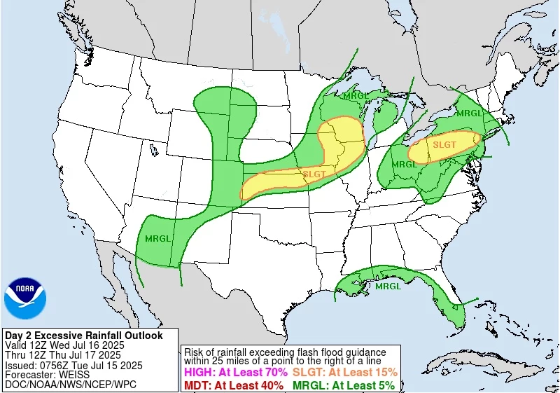
Clouds will increase through the day, leading to our next chance of rain. Forecast models are favoring a round of scattered showers and thunderstorms late-day Wednesday —around the 4 p.m. to Midnight time frame.
Given the heat and humidity, we automatically have to think some of those storms could be on the strong side. But it is not a slam dunk this time around. All the ingredients for convective thunderstorms are not coming together (specifically shear and lift factors are unimpressive). And I do not think it is going to rain everywhere — best chance will be to the north and west.
In other words, Wednesday evening will be one of those "eyes on the sky" kind of situations.
Heavy rain is probably the biggest concern again, rather than wind or lightning. No major alarm bells to ring (yet).
Thursday NJ weather: Hottest day of the week
Oh, get ready to sweat. Again.
Widespread lower 90s return to New Jersey on Thursday. (Maybe even some mid 90s in inland South Jersey.) Factor in the humidity, and the heat index may surpass 100 degrees. That is where we start calling it "dangerous heat".
So Thursday will be the hottest day of the week across the state. Skies will be partly sunny. And again, I have to include the chance of a shower or thunderstorm in the forecast.
Friday NJ weather: Sweet relief
It has been a while since a legitimate cold front swept all the way through New Jersey, ushering in a cooler, drier air mass. Well, that is finally coming on Friday.
Usually, a cold front provides plenty of lift for significant rain action. But this one appears to be moisture starved. It would be foolish to ignore the chance for spotty showers during the day Friday, especially the farther south in NJ you go. But I will say this does not look like a big rainmaker.
As long as that front arrives early enough, you should start to notice more refreshing air by the afternoon. Under partly sunny skies, high temperatures will come down to the 80s. More importantly dropping dew points will make the air "thinner" and way more comfortable.
Saturday NJ weather: Finally a beautiful day
This is the day to circle on your calendar. I will say it right now: As long as this outlook holds, Saturday will be the nicest day of the week and one of the best of the entire summer. Sunny, seasonably warm in the 80s, dry, and ... not humid! Fingers crossed!
At the very least, Saturday will be the better day of the weekend, as long-range models are consistently showing rain pushing in Sunday afternoon.
We will more than likely fall right back into a warm, humid, stormy pattern next week. 'Tis the season. At least there is nothing big brewing in the tropical or heat wave departments at this time.
11 reasons why storm chasing in NJ is a very, very bad idea
Gallery Credit: Dan Zarrow
Dan Zarrow is Chief Meteorologist for Townsquare Media New Jersey. Follow him on Facebook for the latest forecast and realtime weather updates.
BEEP BEEP BEEP: These are the 13 types of Wireless Emergency Alerts auto-pushed to your phone
Gallery Credit: Dan Zarrow
More From New Jersey 101.5 FM


