Three more warm days, four more nice weather days for NJ
The Bottom Line
Wednesday is another weather winner! But we do have warmer, stickier days ahead. And a couple rain chances to talk about too. For now, we will enjoy another day of mostly sunny skies and dry weather. Temperatures will be seasonably warm Wednesday, close to 80 degrees — nothing to complain about here. Thursday will turn about 5 degrees warmer and noticeably more humid. In addition, a few showers may try to sneak in late-day as a weak cold front approaches, although most of the day should stay dry and that rain looks generally unimpressive. Friday settles back into pleasant weather territory with sun and clouds and highs touching the 80s. Saturday stays dry but noticeably cooler with increasing clouds. Then Sunday will mark the beginning of a more unsettled stretch, with mostly cloudy skies, cooler temperatures, and spotty showers becoming increasingly possible through early next week.

Weather Hazards
A rumble of thunder and/or localized downpour could accompany Thursday’s spotty showers. And some stronger storms may come into play next week, depending on the eventual timing and dynamics of a more unsettled weather pattern.
Having said that, there are no major weather alarm bells to ring for New Jersey for at least the next week.
Climatological Context
September 16 is the 259th day of 2026. Only 100 shopping days until Christmas!
Normal high temperatures range from 77 to 79 degrees, while normal low temperatures range from 58 to 61 degrees.
September is, on average, New Jersey’s fourth warmest and sixth driest month of the year.
Wednesday
Ahh, this closing week of summer sure is beautiful.
Wednesday morning is not nearly as chilly as Tuesday morning. Temperatures have been mainly in the 50s across New Jersey, with 60s along the coast. Compare that with Tuesday morning, when parts of the state dipped all the way to around 40 degrees. So it is still comfortably cool, but you are safely skipping the jacket.
Wednesday afternoon will trend a smidge warmer too. Expect mostly sunny skies, dry weather from start to finish, and highs around 80 degrees.
Normal highs for mid-September are 77 to 79 degrees, so Wednesday will end up very close to that benchmark. Especially in direct sunshine, it should feel pleasantly warm and summer-ish. Humidity will tick up ever so slightly by the end of the day.
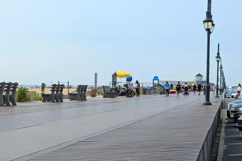
The Jersey Shore Report gets two thumbs up too. Ocean temperatures range from 76 to 81 degrees, waves are only 1 to 2 feet, and the rip current risk is low. The UV Index remains in the High range, so sunscreen is still a good idea. And remember, most beaches are unguarded after Labor Day, so Local Summer beachgoers need to use some common sense around the water.
Wednesday night brings a few clouds. Because of that and the subtle uptick in humidity, lows will only fall into the mid 60s overnight.
Thursday
Thursday will be warmer, more humid, and just a little unsettled.
Expect partly sunny skies for most of the day, with high temperatures between 80 and 85 degrees. The air will feel noticeably stickier than earlier in the week.
A weak cold front will approach late-day Thursday, bringing the chance of spotty showers during the late afternoon and evening. Dinnertime or later appears to be the best window for some rain.
Not everyone in New Jersey will necessarily get wet. And even where showers do develop, rainfall totals look generally unimpressive — maybe a tenth an inch or two. A rumble of thunder or localized downpour is possible through Thursday night, but this does not have the makings of a major storm event at all.
Friday
Perfectly pleasant weather returns on Friday, with a return of manageable humidity and near-normal temps.
Expect a mix of sun and clouds, highs in the lower 80s, and relatively comfortable conditions. Nothing to complain about at all.
The Weekend & Beyond
This gorgeous stretch does have an expiration date. And the weekend will get tricky.
The good news: Saturday looks dry. But increasing clouds and cooler air will become noticeable. High temperatures will only reach the lower 70s. That is a substantial step down from the 80+ degree warmth of Wednesday through Friday.
Then Sunday marks the beginning of a more unsettled weather pattern. Expect mostly cloudy to overcast skies, highs in the mid 70s, and spotty showers developing eventually. (Some weather models show rain as early as Sunday morning, while some guidance holds it off until late-day — we will see how things continue to develop.)
Clouds and sporadic showers look to linger into Monday too. Neither day looks like a washout though.
Fall officially begins on Tuesday, and that currently looks like the wettest day of the bunch with a period of scattered rain driving through New Jersey. Daily high temperatures may only be in the 60s for part of next week. Quite appropriate for the new season.
POP QUIZ: Can you guess these NJ landmarks from Google Earth images?
Gallery Credit: Dan Zarrow
Dan Zarrow is Chief Meteorologist for Townsquare Media New Jersey. Follow him on Facebook for the latest forecast and realtime weather updates.
Cough, cough: NJ's favorite lost voice and sore throat remedies
Gallery Credit: Dan Zarrow
More From New Jersey 101.5 FM