

How fiercely will NJ’s winds blow on Monday?
Answer: Very.
More specific answer?
Sustained northwesterly winds of 25 to 35 mph, with gusts to 60 mph are possible.
What's up?
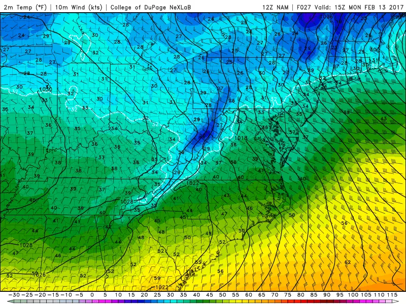
As we wrap up a wet/wintry Sunday, a strong pressure gradient is expected to set up over New Jersey from Sunday night into Monday. That means a departing storm system (area of low pressure) and an approaching area of high pressure will have a big difference in atmospheric pressure over a relatively small distance. The end result will be a gusty, blustery beginning to the new workweek.
So what?

When winds get this high (specifically sustained winds of 40 or gusts over 58 mph), they can cause damage. So the National Weather Service has issued a set of wind warnings and advisories for the entire state of New Jersey from late Sunday night through Monday evening. A "warning" means dangerous weather is imminent or occurring. And an "advisory" is a less severe, less urgent version of a warning. Here's the rundown:
--High Wind Warning for Atlantic, Burlington, Camden, Cape May, Cumberland, Gloucester, Monmouth, Ocean, and Salem counties from Midnight to 6 p.m. Monday. Sustained 25 to 35 mph winds, with gusts to 60 mph, are possible.
--Wind Advisory for Hunterdon, Mercer, Middlesex, Morris, Somerset, Sussex, Warren from Midnight to 6 p.m. Monday. Sustained 20 to 30 mph winds, with gusts to 50 mph, are possible.
--Wind Advisory for Bergen, Essex, Hudson, Passaic, Union from 2 a.m. to 6 p.m. Monday. Sustained 20 to 30 mph winds, with gusts to 50 mph, are possible.
--Wind Advisory for Bergen, Essex, Hudson, Passaic, Union from 2 a.m. to 6 p.m. Monday. Sustained 20 to 30 mph winds, with gusts to 50 mph, are possible.
When?
I think you'll start to notice the wind after the precipitation ends on Sunday, just after sunset - I'll call such conditions windy. Winds become gusty after sunrise Monday morning. Wind speeds will likely peak around midday Monday. By Monday afternoon, the sustained/ambient wind will begin to decrease. However, beware of strong gusts through Monday evening.
What to do?
Let's review some important wintertime wind preparation tips:
--Take time to secure garbage cans, lawn furniture, sleds, etc. They could easily become a projectile, subjecting your house and cars to potential damage. Of course, they may end up a town away too.
--Driving may be difficult throughout the state on Monday. This will be particularly true for "high-profile" vehicles like trucks, buses, vans, and SUVs.
--Downed branches, trees, and power poles may cause scattered power outages.
--Monday morning's low temperatures will be in the 30s, while Monday afternoon's high temperatures will only reach 40 degrees, at best. That means the wind chill ("feels like" temperature) will be in the teens and 20s all day - bundle up!
Dan Zarrow is Chief Meteorologist for Townsquare Media New Jersey. Follow him on Facebook or Twitter for the latest forecast and realtime weather updates.
More From New Jersey 101.5 FM


