
First two storm systems of 2021 to bring rain and limited ice/snow to NJ
Happy New Year! Not only are we kicking off 2021 Friday, but we welcome the brand new month of January. On average, it is New Jersey's coldest and 2nd snowiest month of the year (behind February). That means we are now on high alert for any chance of wintry weather.
And we've got two storm systems to talk about, for late Friday and Sunday. Each of which could bring limited ice and/or snow to New Jersey. Key word: Limited. Let's run through what to expect.
Friday
The first morning of the year is clear, crisp, and cold — most temperatures are hovering in the 20s as of this writing (8 a.m.) High temperatures will range from the mid 30s (north) to mid 40s (south), as skies progress from sun to clouds.
As our next storm system arrives, rain will bubble up into southwestern New Jersey in the early afternoon hours, around 1 p.m. That light to moderate rain will spread to the north and east through 6 p.m. Precipitation will end between about 3 a.m. and 7 a.m. Saturday morning.
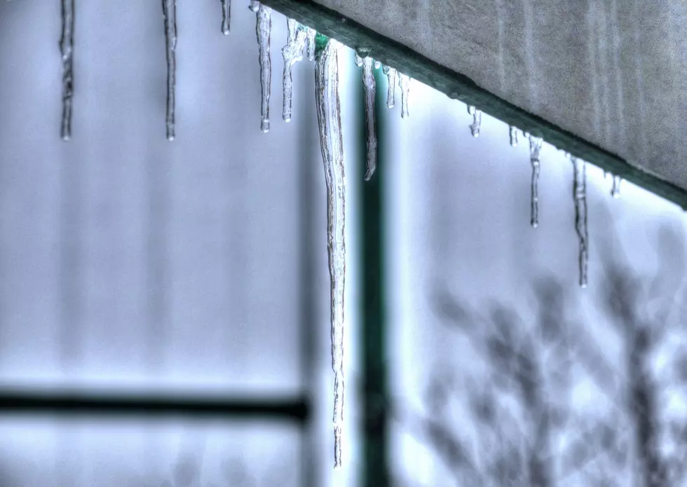
The concern here is in northwestern New Jersey only, where some wintry weather will be possible. Specifically, the threat of freezing rain. One of the most misunderstood weather phenomena, freezing rain falls from the sky as plain, liquid rain. And then, upon hitting a cold, sub-freezing surface, it freezes to solid ice on contact.
Freezing rain requires a very specific temperature profile from the ground into the atmosphere. And, as you can imagine, it can cause a very slippery situation to form very quickly.
For most of the state, the ground should be just warm enough to stave off a warming threat. However, those "usual" higher elevation areas of northwestern New Jersey are most prone to see some light icing Friday evening.
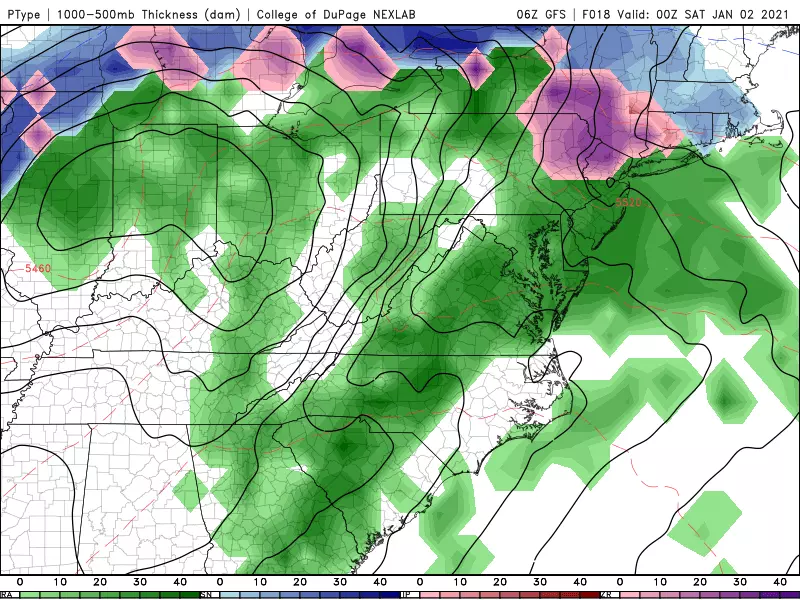
Just to be on the safe side, I'd say areas north of I-78 and west of I-287 should be on alert for possible slipping and sliding from rain onset through Friday night. A Winter Weather Advisory pinpoints Sussex and western Passaic counties as the most likely location for icing.
Ice accumulations up to a tenth of an inch are possible — although that number doesn't mean much, as only a few frozen droplets can make things slick. I do not think the icing will be significant enough to cause widespread power outages.
Saturday
After early morning showers exit, we should get substantial breaks of sun and mild temperatures. I'd put highs in the 50s across the state — 60 degrees is a possibility in South Jersey. The only weather nuisance will be a stiff breeze, gusting out of the west-northwest over 20 mph.
Sunday
Our relatively active weather pattern continues, as yet another storm system slides up the coast Sunday morning. It's not a monster storm, and the center should stay well east of New Jersey. As long as those two factors don't change, we're only looking at a moderate snow event, away from the coast only.
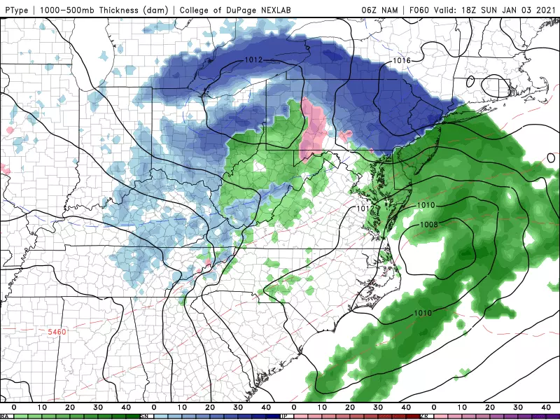
For now, I think there's a legitimate shot at shovelable snow during the day Sunday, along and west of the NJ Turnpike corridor. I'd estimate top snowfall totals in that zone around 4 inches, give or take. Mixing and/or a changeover to rain Sunday evening would affect the final snow numbers. And again, south and coast, it's looking wet and not wintry at all.
If this trajectory holds, look for a more detailed timeline and impacts forecast (including a snow map) sometime on Saturday.
The Week Ahead
Our weather calms down for the big back-to-work, back-to-school week ahead. Monday, Tuesday, Wednesday, and Thursday look quiet, with mostly to partly sunny skies and seasonable high temperatures (about 40 to 45 degrees). It might get a bit breezy late in the week.
The Euro model hints at a snowmaker next Friday, but the GFS throws that system way out to sea. Again, the next 10 to 12 weeks are the heart of snow season here in New Jersey — we'll be watching!
Dan Zarrow is Chief Meteorologist for Townsquare Media New Jersey. Follow him on Facebook or Twitter for the latest forecast and realtime weather updates.
More From New Jersey 101.5 FM


