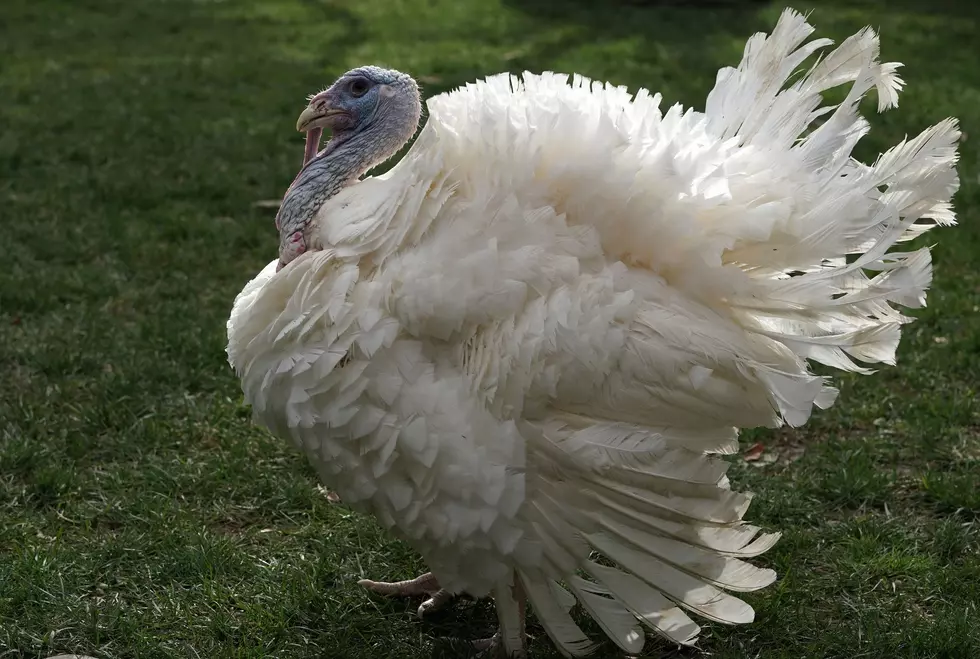
Cold turkey! Coldest Thanksgiving Day on record for most of NJ
I spent an hour running the statistics this morning, and I confirmed what I have suspected for a few days. This Thanksgiving will indeed be the coldest one ever recorded for most (not all) of New Jersey. Black Friday is looking especially frigid too.
The big holiday travel crush is here Wednesday, and we'll be facing an increasingly brisk wind. Gusts to 30 mph will make for a blustery day, limiting high temperatures to the mid 40s. (Chilly, but not terribly cold. Yet.) Skies will be mostly to partly sunny.
I have two minor travel concerns for you on this Thanksgiving Eve:
1.) The brisk wind could affect flights at area airports. Usually when winds are gusty but weather is clear, controllers space out arrivals and departures for safety purposes. That means there would be flight delays (both coming and going), but not necessarily cancellations.
2.) Those winds could also blow a quick snow shower or snow squall into New Jersey from late afternoon to early evening Wednesday. Best chance would be in northern and perhaps central New Jersey. (Similarly if you're traveling northward into New York State or westward into Pennsylvania, you might hit a few snowflakes.) I am not worried about accumulation or slippery roads, but you might encounter a burst of snow severely limiting visibility for a few minutes. Again, it's going to be an isolated concern, at best.
The rest of Wednesday night will be clear and cold, with a continuing brisk wind. Low temperatures are expected to drop into the upper teens to lower 20s. The wind chill ("feels like" temperature) may dip into the single digits for part of the Garden State tonight. Not quite dangerous cold, but it's definitely unseasonable and uncomfortable. Bundle up for those Thanksgiving Eve bar crawls and bonfires!
Thanksgiving Day (Thursday) will be very cold and breezy. Winds will lighten up a bit — I'm seeing sustained winds of about 10 to 20 mph. Hopefully we end up just below the threshold to allow the big balloons can fly in the Macy's Thanksgiving Day Parade in NYC. (The city requires sustained winds below 23 mph and gusts below 34 mph.)
High temperatures for Thanksgiving will be limited to the upper 20s to around 30 degrees. Yes, that's as warm as it's going to get all day! About 25 degrees below normal for late November. Add in that brisk wind, and the wind chill will be in the teens all day.
At least skies will be sunny and weather will be dry — no weather issues are anticipated on Thanksgiving.
So here are the fruits of my laborious climatological research. The coldest Thanksgiving Day high temperature on record for Newark Airport was 26 degrees on November 28, 1901. My forecast calls for a high of 28 degrees — just shy of the record.
But I am expecting a record cold Thanksgiving at Trenton (forecast 27, record 31 on 11/28/1996) and a tie at Atlantic City (forecast 31, record 31 on 11/28/1996). At both of these stations, it should be coldest November 22nd on record as well (Trenton's record 33 in 1949, Atlantic City's record 32 in 1972).
Temperatures will bottom out on Friday morning. (And oh boy do I love a frigid Black Friday morning, so I can laugh at all those crazy dealmakers who stand outside in line all night!) Clear skies and calm winds will allow morning low temperatures to drop into the teens throughout New Jersey. Thermometers may very well dip into the single digits in North Jersey. (My forecast goes as low as 6 degrees in Sussex County Thursday night-Friday morning. 6.)
In terms of the coldest Black Friday morning on record, it will be close. Record lows through history include 15 at Newark on 11/28/1930 (forecast 16), 11 at Trenton on 11/24/1989 (forecast 14), and 16 at Atlantic City on 11/24/2000 (forecast 15). Did we even celebrate "Black Friday" back in the early days of the Great Depression in 1930? Doubt it. But hey weather records existed!
High temps on Friday will be in the lower to mid 30s. Lighter winds will make the day slightly more bearable and less painful. Again, it will remain sunny and dry.
By the time you wake up on Saturday, we'll be under the influence of an on-shore wind. That ocean air will lead to increasing clouds and rising temperatures. Highs will return to the seasonable low to mid 50s on Saturday. The day will feel a bit grey though, with mostly cloudy to overcast skies overhead.
Our next storm system will arrive Saturday evening, bringing rain to New Jersey through early Sunday morning. Yes, just rain.
The rest of Sunday actually looks pretty decent. With partial clearing, high temperatures look to climb to about 55 to 60 degrees.
New Jersey's next next storm system is currently scheduled for Monday. It could turn into a pretty wet day. And I'm still watching for the potential of some wintry weather from that one, especially on the colder backside of the storm in colder North Jersey.
The CMDZ Weather Blog will take a break for the extended holiday weekend. I'll be back online and on-the-air Monday morning. Until then, I hope you have a wonderful holiday, filled with family, food, and fun. Stay warm!
Dan Zarrow is Chief Meteorologist for Townsquare Media New Jersey. Follow him on Facebook or Twitter for the latest forecast and realtime weather updates.
More From New Jersey 101.5 FM


