Classic August weather for NJ: Building heat and humidity, with a few t-storms
The Bottom Line
This is the kind of weather forecast that I really don't like. First, humidity is not my friend. And dew points will be on the rise this week, leading to sweatier, steamier conditions. Heat may approach dangerous conditions by midweek.
Second, we face a daily chance of showers and thunderstorms. But there are no "major" storm systems in play here - so we also have a daily chance of dry weather. Unfortunately, I can't pinpoint the exact timing and geography of these "air mass thunderstorms". We can talk about "best chances" and any threat for severe weather, of course.
Monday
We're coming off the 11th of 15 summer season weekends (Memorial Day to Labor Day). And once again, it wasn't perfect, as heavy rain plagued NJ's southern coast Saturday afternoon into Sunday.
And that storm system is still nearby, spinning just off-shore. As of this writing (5:30 a.m.), radar is showing a few light showers over Monmouth County. These early raindrops will be limited to northeastern New Jersey - the system is pulling away. We will also start the day with some low clouds and patchy fog.
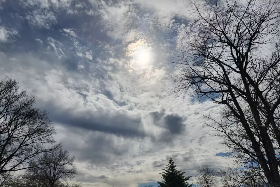
Look for a mix of sun and clouds throughout the day. It will be fairly humid, with dew points in the 60s. Temperatures will rise from the upper 60s in the morning to the lower 80s in the afternoon. Warmer than Sunday, but still just below seasonal norms.
Another chance of popup showers and thunderstorms will come later on Monday, primarily in the southwestern corner of the state (which temperatures will be warmest). I don't see a big threat of severe weather, but localized downpours, dangerous cloud-to-ground lightning, and marginal wind gusts are possible.
The chance of showers will continue Monday night. It will be muggy, with some patches of fog. Low temperatures will only fall into the lower 70s.
Tuesday
Probably the brightest day of the week. With the lowest chance of rain (although not zero). That will likely make it our best beach day this week, if you're looking for a coastal escape.
Skies will be partly to mostly sunny Tuesday, pushing high temperatures into the seasonable mid 80s. Once again, there is a chance of an isolated shower or thunderstorm at some point.
Wednesday
Heat and humidity kick up a notch. With dew points firmly in the 70s and high temperatures mainly in the lower 90s (away from the coast), you are definitely going to sweat. The heat index (the "feels like" or "apparent" temperature) will approach 100°. That is approaching "dangerous heat" territory.
It's been a while since our last heat wave. (July 14-17, FYI.) But I'm sure you still remember those common sense heat safety tips. Dress for the weather. Stay extra hydrated. And take frequent breaks from the heat, in air conditioning if you can.
Skies on Wednesday will probably feature more clouds than sun. And all models suggest a few late-day thunderstorms will pop too. Could be a quick soaker or two out there.
Thursday & Beyond
Definitely steamy. Just like Wednesday, highs will pop into the lower 90s with a heat index near 100. Mostly cloudy skies will accompany a stray thunderstorm, especially in the Thursday evening hours
We'll endure one more ferociously hot and humid day Friday, with highs in the lower to mid 90s.
A cold front is currently scheduled to arrive late Friday night into Saturday morning. At the moment, it is unclear whether that front will spark a line of rain or whether it will be dry.
I think there are too many variables, too many balls in the air, to make a confident call on the weekend. At the very least, we should see cooler-but-still-warm temperatures in the 80s. The GFS model favors a dry Saturday and spotty showers on Sunday. Meanwhile, the Euro shows a rain chance for both days. I wouldn't read into those raw model forecasts too much - as usual, we'll start taking the weekend outlook seriously starting on Wednesday or Thursday.
Dan Zarrow is Chief Meteorologist for Townsquare Media New Jersey. Follow him on Facebook or Twitter for the latest forecast and realtime weather updates.
Beautiful sunflower fields to visit in NJ 2021
BEEP BEEP BEEP: These are the 13 types of Wireless Emergency Alerts auto-pushed to your phone
More From New Jersey 101.5 FM


