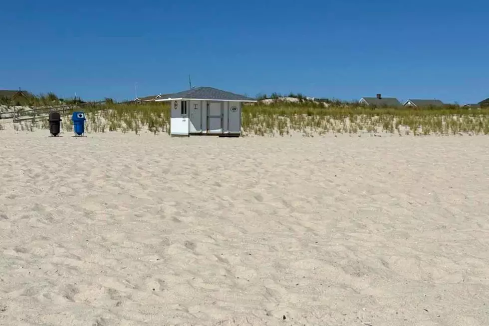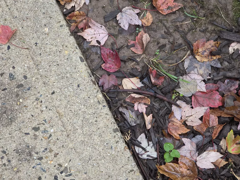
Fall arrives in NJ with rain, wind, and an angry ocean
The Bottom Line
Happy First Day of Fall! The Autumnal Equinox officially arrives at 8:05 p.m. Tuesday. And while Monday turned into a nice day for most of New Jersey, with breaks of blue sky and 70-plus-degree temperatures, Tuesday will trend wetter, cloudier, and cooler again. Expect occasional showers throughout the day, with a batch of steady rain possible along the way. It will be breezy, with high temperatures limited to the 60s. As we dry out Tuesday night, the clouds and stiff breeze will stick around. While the rest of the workweek will trend mainly dry, with just a few showers around, the common theme will be wind and an angry ocean. Gusts may climb to 30 mph on Wednesday. Ocean wave heights may grow to 10 feet, raising concerns for dangerous rip currents and beach erosion. Coastal flooding is a concern too, potentially reaching the moderate category for tidal waterways along the Jersey Shore. Then a coastal storm system — a nor’easter — is expected to develop offshore by the weekend. But forecast models still show a variety of “hit vs. miss” scenarios on the table for New Jersey, so it remains a highly uncertain forecast at this time.

Weather Hazards
While a period of steady rain is possible Tuesday, rainfall amounts should be light, generally less than a quarter-inch. Flooding from Tuesday’s rain and severe weather are unlikely.
However, coastal flooding will become an increasing concern this week. A Coastal Flood Advisory is posted for much of the Jersey Shore for Tuesday evening’s high tide cycle, with a round of minor category flooding expected along tidal waterways. A Coastal Flood Watch cautions that water levels could go even higher in the coming days.
Additionally, a High Risk of Rip Currents is posted for Jersey Shore beaches. Ocean waves Tuesday will reach about 4 to 6 feet, potentially growing as high as 10 feet Wednesday.
If the worst-case scenario for the late-week coastal storm comes to pass, New Jersey could be looking at multiple inches of additional rainfall and a period of 40 to 60 mph wind gusts. For now, this remains a highly uncertain forecast. The potential is worth taking seriously, but there is still a huge difference between the various “hit” and “miss” scenarios on the table.
Climatological Context
September 22 is the 265th day of 2026. (Yup, just 100 days left in the year!)
Normal high temperatures range from 75 to 77 degrees, while normal low temperatures range from 56 to 59 degrees.
September is, on average, New Jersey’s fourth warmest and sixth driest month of the year.
Tuesday
Happy First Day of Fall, New Jersey.
Technically, the Autumnal Equinox arrives at 8:05 p.m. Tuesday, when the sun will be directly over the Earth’s equator. Fall is renowned for being a volatile season, and Mother Nature is giving us an appropriately bumpy ride as the seasons change.
Temperatures starting off on either side of 60 degrees Tuesday morning and will only rise into the mid 60s by Tuesday afternoon. Clouds, a stiff breeze (exceeding 20 mph), and raindrops are keeping thermometers well below normal.
Tuesday will definitely trend wetter than Monday, with spotty showers already around New Jersey. There will be pockets of steadier rain spread throughout the day, which could affect driving conditions and outdoor plans.
Most rainfall should still be relatively light. This is more of an "umbrellas up" kind of wet weather day than a legit flooding concern.
Tuesday may end up being the coolest day of the week overall. Really, the next three days will all run unseasonably chilly before temperatures start to moderate.
At the Jersey Shore, a high risk of dangerous rip currents is posted, with ocean waves around 3 to 6 feet. A Coastal Flood Advisory cautions of minor category flooding during Tuesday evening's high tide cycle — the first of several consecutive precarious high tides along our coastline.
Rain should taper by late Tuesday evening. But it will remain cloudy and breezy overnight. Lows will settle in the mid 50s.
Wednesday
Wednesday turns mainly dry, but not exactly calm and pleasant.
I think we will see just a few showers around the Garden State, if that. Expect a mix of clouds and sun otherwise. High temperatures will remain stuck in the mid 60s.
The bigger weather story will be wind. Gusts may increase to around 30 mph, helping to churn up an already angry Atlantic Ocean.
Once again, rough surf, rip currents, beach erosion, and rounds of tidal flooding will be on our radar.
Thursday
Thursday stays mostly to partly cloudy and unseasonably cool, with highs again only in the mid 60s.
Most of New Jersey should stay dry Thursday. A few spotty showers may touch the coast late-day Thursday.
My forecast puts Thursday in the "breezy" category, easing wind gusts back to around 20 mph. The ocean will still be agitated enough that coastal concerns will continue.
Friday & Beyond
Friday is where our primary weather driver shifts from a stalled frontal boundary to an emerging coastal storm system parked off-shore. And, not coincidentally, that's also when forecast uncertainty really ramps up too.
For now, I favor a Friday forecast calling for sunshine to the west and clouds toward the east. That would help high temperatures push toward 70 degrees or so. Wind gusts kick up to 30+ mph again.
While a shower is possible, it would be pretty isolated. (And most likely along coastal areas.)
A powerful coastal storm system — yes, you can call it a nor'easter if you really want to — is forecast to develop off the East Coast into the weekend.
The big question is where it goes from there.
Forecast models continue to show dramatically different possibilities. The GFS favors an off-shore solution, sparing New Jersey from the worst of the rain and wind. However, it would still be windy with rough surf and coastal flooding on the table. Meanwhile, the operational European model shows a "direct hit" with multiple inches of rain and potentially damaging wind gusts in the 40 to 60 mph range this weekend. That would be on top of the coastal impacts, of course.
So it is becoming increasingly likely that New Jersey will feel at least some wind and coastal impacts, regardless. But will it rain, or will the sun come out? How strong will the wind get, 20 or 60 mph? Which days of the weekend will be specifically most affected by the storm? These answers are still very much up in the air.
So there is still no reason to panic over dramatic nor’easter headlines. But there is still every reason to keep checking the forecast as the Friday, Saturday, Sunday, and Monday forecast comes into sharper focus.
Where to see the great fall colors in New Jersey
Gallery Credit: Dennis Malloy
Dan Zarrow is Chief Meteorologist for Townsquare Media New Jersey. Follow him on Facebook for the latest forecast and realtime weather updates.
The complete list of storm names for the 2026 Atlantic Hurricane Season
Gallery Credit: Dan Zarrow
More From New Jersey 101.5 FM