

Wintry weather almost here: NJ’s most frequently asked questions
I have been closely monitoring social media over the past few days, engaging listeners who posted some great questions and points of discussion in response to my forecasts. I compiled some of the most relevant and most important questions here, which will hopefully help you understand our impending dynamic duo of winter storms.
What's the latest?
We continue to watch two separate-but-related storm systems that will impact the Garden State over the next three days.
There is little doubt that the first winter storm will bring generally light snow accumulations from Thursday evening through Friday midday. We will see some combination of snowy (North), slushy (Central), and/or soggy (South, Coast) conditions for Friday morning's commute.
The storm that moves in this weekend will be stronger and more impactful for New Jersey. It will begin with a heavy burst of snow Saturday evening, before warming temperatures force a transition to heavy rain, freezing rain, and possibly some sleet Saturday night through Sunday morning. As temperatures crash Sunday afternoon, a return to (light) snow is expected. Guidance continues to show North Jersey right on the edge of the heaviest snowfall — quite a precarious forecast. Because of the track and temperatures, this forecast is still complex, delicate, and pretty uncertain.
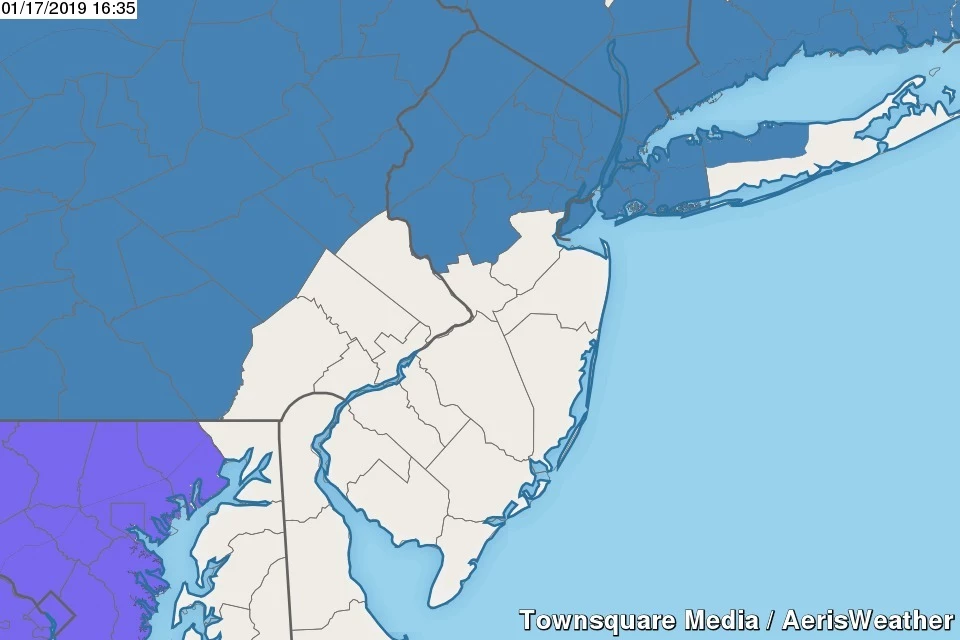
After my perusal of the afternoon forecast models, I see no need to update my forecast map for either storm. Here again is my latest snow map, published Thursday morning, for your reference:

Any advisories?
As of this writing, nothing has been issued for the Thursday night-Friday morning storm. Snow totals are expected to remain at or below 3", which is generally regarding as "advisory-level".
For the weekend storm, a Winter Storm Watch has been issued for the following counties, for the following times:
--Noon Saturday to 6 p.m. Sunday... Western Bergen, Passaic... 4-8" snow/sleet, up to 0.25" ice
--Noon Saturday to 6 p.m. Sunday... Eastern Bergen, Essex, Hudson, Union... 3-6" snow/sleet, up to 0.1" ice
--1 p.m. Saturday to 7 p.m. Sunday... Hunterdon, Morris, Somerset, Sussex, Warren... 5-8" snow, up to 0.2" ice
A Watch means that potentially hazardous winter weather is possible within 48 hours. If the forecast holds firm, this watch will most likely be upgraded to a warning as the storm draws near.
When is it going to hit?
Storm #1: First flakes arrive in New Jersey after about 8 p.m. Thursday. Transition from wintry to wet overnight. Precipitation tapers by morning rush hour, ending completely by Noon Friday.
Storm #2: First flakes by Saturday afternoon. Heavy snow through Saturday evening. Heavy rain/mix Sunday morning. Back to snow and wrapping up Sunday afternoon.
Are you really predicting 0 to 12 inches? You're an idiot.
Thanks, friend. And yes — it is totally conceivable that snowfall totals will range from 0" in South Jersey to 12" in far North Jersey. For such a small state, New Jersey can certainly get a wide variety of weather! Until we become more certain of the forecast — hopefully around late Friday — I have to present an outlook with a broad range of possible outcomes.
How much snow is going to fall in my backyard?
I really can't pinpoint the forecast that far, unfortunately. Check out the maps above. North Jersey is most likely going to see some healthy snow, while areas south of Mercer-Middlesex counties see mostly rain.
By the way, be sure to pay attention to both the top and bottom of the forecast snowfall ranges, especially for the second (weekend) storm. Both values are equally possible at this point.
Will the roads be brined/salted?
I sure hope so.
I heard it's just going to be a lot of rain?
That is technically true. It is going to rain quite hard Sunday morning, maybe up to 2 inches in spots. However, except for coastal areas, there will be a period of snow first (Saturday evening). Additionally, some of that rain will take the form of freezing rain. That's when raindrops remain liquid until they hit a cold surface — like snow or a car or a road surface — and then freeze on contact. Ice storms are nasty business.
What will be the worst part of the storm?
I have four big concerns among our two impending storm systems:
1.) As I have mentioned over and over again, Friday morning's commute will suffer from unfortunate storm timing. Snow will be ongoing in North Jersey, while roads in Central and inland South Jersey could be slushy. Many New Jerseyans struggle to drive in clear conditions, so any little bit of snow and ice could pose a real slowdown.
2.) The initial "thumping" of snow Saturday evening could be very heavy. Visibility may be very low at times, and the snow may pile up quickly. This is when the biggest accumulations will occur, before the overnight transition to rain/freezing rain.
3.) Rain will make for sloppy conditions Sunday morning. Freezing rain would be a nightmare.
4.) The final stage of this winter menagerie is a sharp cooldown Sunday afternoon. Even after the precipitation stops, temperatures will continue to drop through Sunday night. That is expected to cause a widespread flash freeze.
What is a flash freeze?
Imagine temperatures falling so far and so fast that every puddle and every wet surface turns into a sheet of ice in a matter of minutes. That's exactly the fear for after the storm Sunday afternoon and evening — New Jersey may become a skating rink as temperatures sink into the 20s and Teens.
New Jersey's last significant flash freeze caused a 40-car pileup on the NJ Turnpike in February 2015. Roads were salted and brined, but it wasn't enough to mitigate the sudden change from wet asphalt to black ice.
I have to go to [place] at [time]. Will I be OK?
I can't make that decision for you, unfortunately. You need to make a call based on the best forecast information available, your own driving abilities, the distance and direction you're traveling, when you plan to return, the urgency of your travel, etc. See the question above about the worst parts of the storm for some advice on when you might want to stay put, if possible. At the very least, be sure to check weather and road conditions before you start any journey this weekend.
Will conditions still be poor and icy Monday morning?
I've been giving this question a lot of thought. And I'm really not sure which way to lean.
Given the threat of severe icing due to freezing rain and the flash freeze, it's reasonable to think that roads will remain icy through Sunday night and into early Monday morning too. Temperatures are expected to fall into the Teens (or even Single Digits) by Monday morning — even road salt and brine is totally ineffective in such frigid temperatures. Luckily, Monday is a federal holiday (MLK Day), which will approximately cut in half the number of vehicles on the road.
Stop scaring everyone with your clickbait fear tactics.
Anyone who follows my forecasts regularly knows that I try to present weather information as realistically, honestly, and accurately as I can. In a situation like this, an extraordinarily difficult and downright dangerous winter storm setup, you'd better believe I'm going to enhance my language to make people listen.
The icing threat on Sunday is significant. It does not take much icing at all to cause an incredibly slippery situation. And with the degree of ice accretion that's possible this weekend — on the order of a quarter-inch to half-inch, perhaps — traction could be zero, tree damage severe, and power outages widespread.
A power outage during the coldest spell of weather in over a year would be very bad.
Bottom line?
Don't let your guard down.
While it's fair to call Thursday night's storm "minor," don't not underestimate how messy it could get Friday morning.
And no matter where in the state you live, this weekend's storm poses a risk of significant icing, in addition to snow accumulation and bitter cold. I'm calling this one "nasty" with good reason.
Next weather blog update is expected Friday morning, hopefully by 7 a.m.
Dan Zarrow is Chief Meteorologist for Townsquare Media New Jersey. Follow him on Facebook or Twitter for the latest forecast and realtime weather updates.
More From New Jersey 101.5 FM


