Storm update: 7 things to know about this weekend’s icy mix
UPDATE... This article is outdated...
For the latest winter storm forecast information, please refer to my newest weather blog post.
1.) Introduction
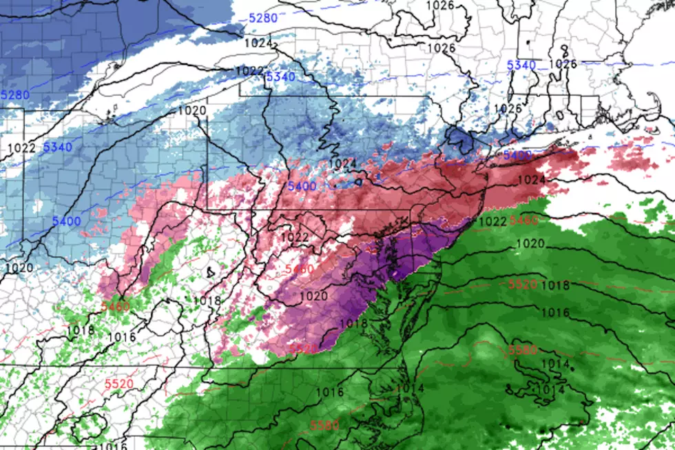
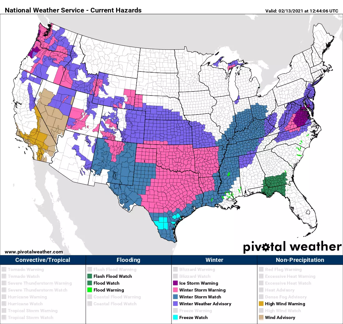
The United States is a hot mess right now. Well, maybe I should say cold mess. Arctic air has invaded all but Florida and the desert southwest. A powerful winter storm in the middle of the country has sparked advisories stretching from the Canadian border of Washington to the Mexican border in Texas. At least 33 of the contiguous 48 states have some sort of wintry warning, watch, or advisory in effect Saturday.

And that includes New Jersey, of course. As we've discussed all the week, our next storm system is not incredibly powerful or well organized. And it definitely won't be a huge snowmaker for New Jersey. But it is going to hit a specific temperature profile conducive to an icy mix of sleet and freezing rain. And even a light glaze of ice is enough to make conditions very slick and treacherous.
We're also still tracking two more storm systems aiming for New Jersey next week. There have been some interesting developments in the latest model runs.
2.) Timing
—Start... Wintry mix precipitation will arrive from southwest to northeast between Saturday late morning (10 a.m.) and early afternoon (2 p.m.)
—Brunt... The heaviest precipitation, and greatest threat for icy conditions, will be from Saturday late afternoon (3 p.m.) to late evening (10 p.m.)
—End... Nasty weather conditions should gradually improve Sunday morning (6 a.m. to Noon)

3.) Accumulations
—Snow... Up to an inch possible (although unlikely), especially to the far north.
—Ice... About a tenth of an inch for most of the state. Less to the far north and along the immediate coast.
—Rain... Up to 0.30" of plain rain may fall, especially along the immediate coast.
4.) Impacts
Ice is nasty business. Freezing rain in particular would be the worst-case scenario here. Remember, that looks like, feels like, smells like, and tastes like regular ol' liquid rain until it hits a subfreezing surface. Then it instantly freezes into solid ice. Instant skating rink.
In sleet and/or freezing rain, untreated surfaces will become very slippery very quickly, increasing the likelihood of vehicle accidents and slip-and-fall injuries. Vehicles encased in a glaze of ice might be difficult to even get into. Heavy ice can bring down branches, trees, and power lines, raising the risk of power outages throughout the weekend.
No matter what's falling from the sky, it's going to be an inclement and unpleasant period of weather. It's hard to give advice about "safe" or "good" times to travel, as conditions may vary from town-to-town and even minute-to-minute. Really, if you don't have to be out and about, it's a good day to just stay home and keep toasty warm and dry.
Wind and coastal flooding are not concerns this weekend, I'm happy to say.
5.) Advisory
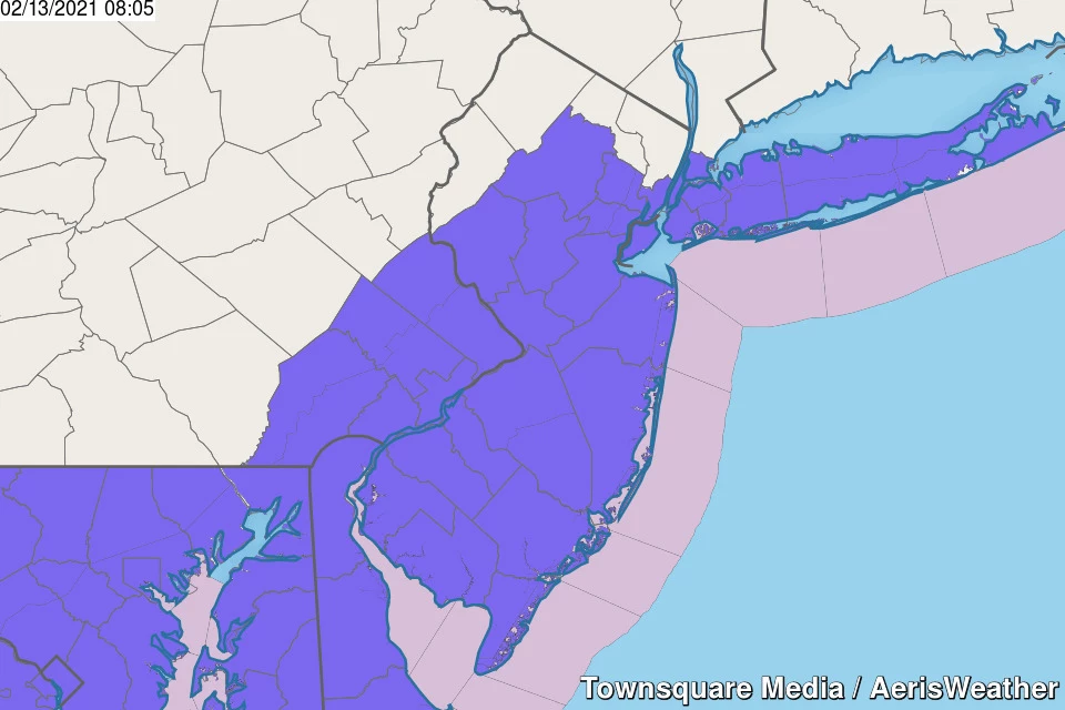
A Winter Weather Advisory has been issued for 17 NJ counties, due to the threat of freezing rain and icing this weekend.
—8 a.m. Saturday to 7 a.m. Sunday... Cape May, Cumberland, and Salem counties.
—1 p.m. Saturday to 10 a.m. Sunday... Atlantic, Burlington, Camden, Essex, Gloucester, Hudson, Hunterdon, Mercer, Middlesex, Monmouth, Morris, Ocean, Somerset, and Union counties.
6.) The Next Storm
The same storm system that is delivering dangerous wind chills and up to a foot of snow to the Southern Plains will head our way early next week. It looks like we may face one little piece of precursor energy on Monday, before the main event between late Monday night and the first half of Tuesday.
Now here's the interesting thing. Models have trended the storm track farther west (inland) and north. Not only does that limit the storm's coastal influence, it also puts New Jersey on the warm side of the storm. That means the predominant precipitation type now looks like just plain rain.
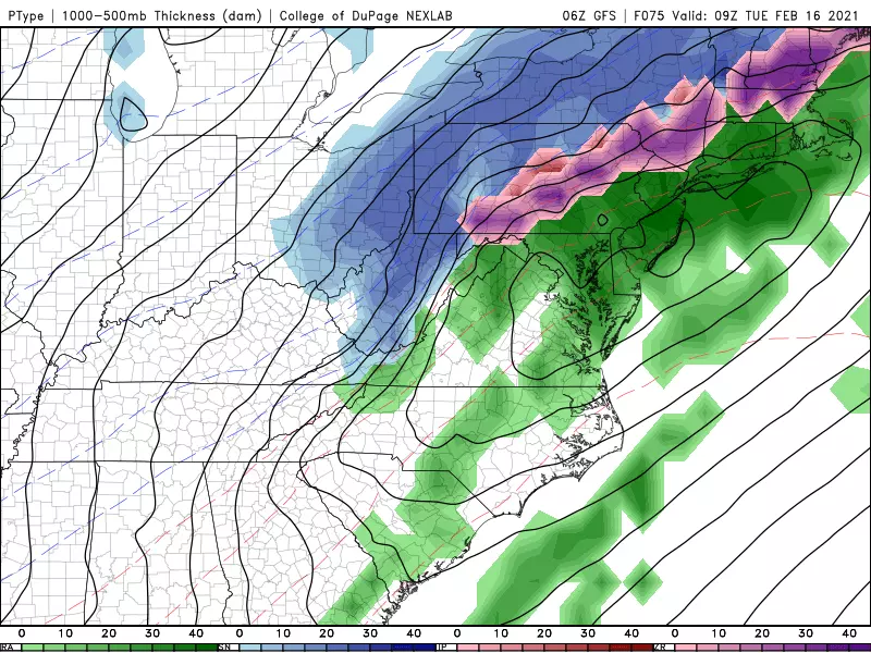
I wouldn't hang my hat on that forecast, as things may very well shift back to the cold side again. (Previous runs have suggested both double-digit snowfall totals and a half-inch of ice accretion in New Jersey.)
If anything, it's a sign that this forecast is still low confidence and quite complicated. Remember, chaos theory dictates that the weather forecasting game works best when we take it one storm at a time. We'll have a better handle on the next one once the weekend ice storm clears away.
7.) The Next Next Storm
The grand finale of this hyperactive period of weather is still scheduled for late next week, in the Thursday-Friday time frame.
And guess what. Just like the Tuesday storm, it's trending northwest and therefore rainier. Even so, the current model consensus does paint some snow accumulation at onset. And with 5 days to go until first flakes/drops, it can most definitely shift back again.

I remain very hopeful that we'll get a break from the constant onslaught of significant storm systems starting next weekend. We might even see a brief (big) warmup late next week. However, if you're looking for a longer-duration sustained warmup, you'll unfortunately have to wait until March.
Keep warm, be smart, and stay safe this weekend. Unless "stuff" really hits the fan as the ice storm arrives, my next weather blog update will come Sunday morning.
Dan Zarrow is Chief Meteorologist for Townsquare Media New Jersey. Follow him on Facebook or Twitter for the latest forecast and realtime weather updates.
WEATHER: Why this weekend's potential ice storm is very concerning
More From New Jersey 101.5 FM