

NJ weekend forecast: Clouds Friday, showers Saturday, rain Sunday
As we zero in on a timeline for this weekend's rain, it has become clear that it won't be a total washout. (Hooray!) However, any outdoor plans for the first half of Sunday will be affected by some solidly wet weather. (Boo!) And then the forecast for next week gets even more complicated. (Meh!)
As I'm sitting down to write this post (5:30 a.m.), clouds are rapidly filling in the skies of New Jersey. Because the cloud cover blanket is arriving a bit later than anticipated, your Friday morning temperatures have fallen colder than expected. We're averaging lower 40s across the state — some interior spots are slightly colder, coast and cities are slightly warmer.
As skies become mostly cloudy to overcast Friday, I still think it will be a mainly dry day. Having said that, almost all of our forecast models paint some widely scattered sprinkles over New Jersey at some point. No need to worry, or even grab an umbrella necessarily. High temps will max out in the mid 60s.
Friday night will be cloudy, but still quiet. Lows dip into the lower 50s — warmer than the past couple of nights, thanks to a smidge of humidity in the air.
As you wake up Saturday morning, you might actually catch some peeks of sunshine. High temperatures will be limited to the seasonable lower 60s.
Rain showers will start to bubble into South Jersey around Saturday afternoon. (The GFS model is the earliest solution here, showing raindrops at 2 p.m. The NAM starts showers around 5 p.m., while the Euro keeps things pretty dry through 8 p.m.) Light rain will continue to spread throughout the state Saturday night.
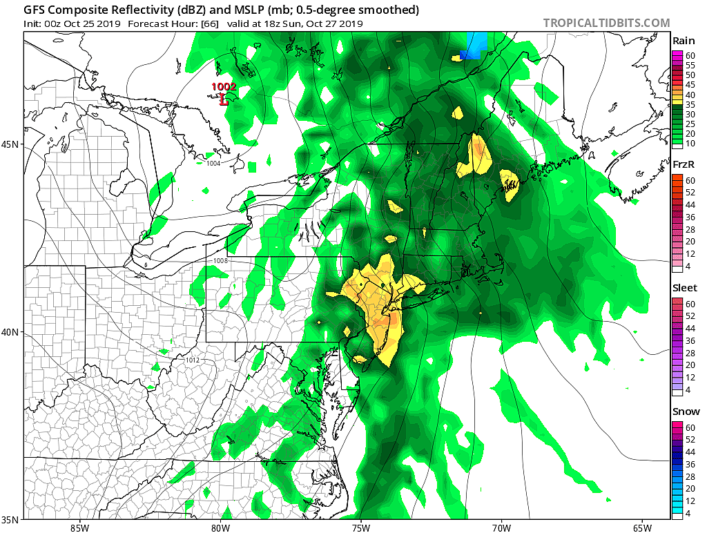
Sunday is really going to be the wet day in this forecast. Periods of steady to heavy rain are expected from Sunday morning through Sunday early afternoon, at least. If the rain ends early enough — and that is most definitely an if — we may salvage part of Sunday afternoon. Any lingering showers should taper Sunday evening, by around 10 p.m. at the absolute latest.
Rainfall totals will probably top an inch across most (if not all) of New Jersey. If it really pours on Sunday, we could see some ponding issues. But because the ground is still pretty dry and "thirsty," widespread flash flooding should not be a problem.
It's going to be breezy, but fairly mild amidst the raindrops on Sunday. Gusts as high as 30 mph are possible. High temps should reach about 65 to 70 degrees.
We'll dry out magnificently for Monday. Under partly to mostly sunny skies, high temperatures should hover near 70 degrees.
Beyond that, our forecast gets complicated again. Another storm system will push through New Jersey midweek, which will be a two-step process: 1.) another batch of solid rain, followed by 2.) a big cooldown.
The GFS model puts the rain from Wednesday evening through early Thursday morning (Halloween). That solution would lead to a dry, but cold and blustery Halloween — high temps would barely reach the 50s, with 35 mph wind gusts.
Meanwhile, the European model runs later. Rain would be from Thursday (Halloween) through early Friday, with the chilly air arriving to start the month of November.
Obviously, with trick-or-treating heavily affected by either option here (either wet or cold), pinpointing this storm system's timing and impacts is top priority. We'll have a clearer idea of how things will play out after Sunday's storm system exits.
Have a great weekend! Stay dry!
Dan Zarrow is Chief Meteorologist for Townsquare Media New Jersey. Follow him on Facebook or Twitter for the latest forecast and realtime weather updates.
More From New Jersey 101.5 FM


