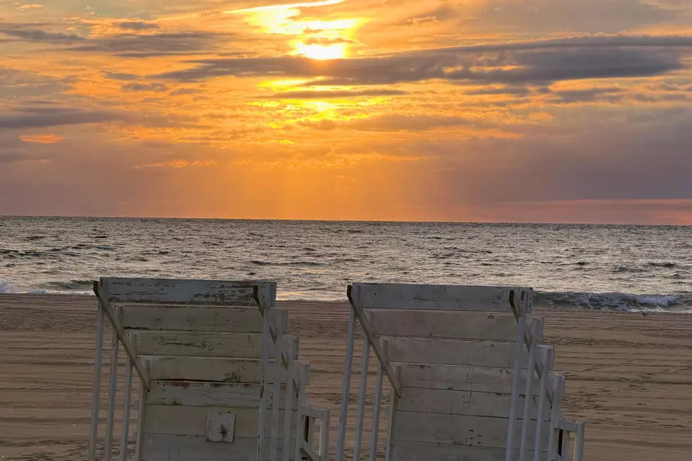
Warm and unsettled, this week’s weather screams ‘typical NJ summer weather’
The Bottom Line
While most of the weekend was warm and pleasant, it did end on a wet note for all of New Jersey. And we are still seeing that rain push through New Jersey to start Monday. Expect pockets of showers until about mid-morning, then partial sunshine through the middle part of the day. One more piece of energy is expected to produce another round of spotty showers and thunderstorms from mid-afternoon through Monday evening, so we will have to keep our eyes on the sky later on. Both Tuesday and Wednesday look sunny and seasonably warm, with highs in the 80s, at least. And then things turn unsettled again, as a frontal boundary potentially stalls on top of New Jersey. That could provide for a few rain chances in the Thursday, Friday, and Saturday time frame. For now, there looks to be more dry hours than wet ones, although clouds and cooling temperatures will probably win out somewhat by the time the weekend arrives.

Weather Hazards
Pockets of heavy rain may cause localized ponding and flooding issues Monday, especially where the ground is already soggy from overnight rain. Every thunderstorm contains lightning, and any storm may be potentially dangerous for a short time.
Otherwise, there is no especially hazardous weather in the forecast for the next seven days for New Jersey.
Climatological Context
August 17 is the 229th day of 2026.
Normal high temperatures range from 84 to 85 degrees, while normal low temperatures range from 65 to 68 degrees.
August is, on average, New Jersey’s second hottest and second wettest month of the year.
Monday
Monday is bookended by unsettled weather.
After over an inch of rain fell in spots overnight, there were some ponding issues and big puddles. As of this writing, the rain has just about stopped falling across New Jersey. But it may still feel damp and puddly as you start the day.
Even as inclement weather exits, it may continue to feel damp and humid for a while Monday. Then the middle part of the day looks pleasant enough, with partly sunny skies and warm temperatures. Highs will reach the mid 80s, right around normal for this time of year.
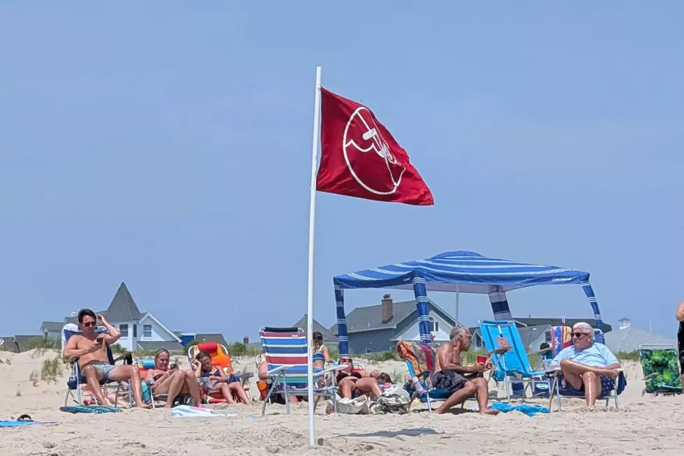
So it will turn into a nice beach and pool day.
However, keep an eye on the sky later on. One more little impulse will arrive later Monday. Possibly in the mid to late afternoon hours, but more likely closer to 6 to 8 p.m. Spotty showers and thunderstorms are possible — the hit or miss variety of raindrops that may cause a temporary pause in your outdoor plans.
Skies will clear late Monday night, but it will stay fairly muggy. Low temperatures will only dip into the lower 70s.
Tuesday
Tuesday looks nice and dry and warm.
Expect mostly sunny skies, with high temperatures again reaching into the mid 80s. Humidity will slide back a little bit, but may still be noticeable.
Overall, nothing to complain about here — a solid August day across New Jersey.
Wednesday
Wednesday keeps the good stretch going.
Expect sunshine through most of the day, until some late-day clouds arrive. High temperatures will reach 85 to 90 degrees. That is a touch warmer than Tuesday, but still not extreme.
I am keeping a dry forecast for Wednesday, for now.
Thursday & Beyond
Thursday starts the next somewhat unsettled stretch.
A frontal boundary may stall near or over New Jersey, which complicates the forecast for the second half of the week. Any time this kind of "atmospheric highway" gets stuck nearby, it keeps us in an active, potentially stormy weather pattern.
Thursday looks to be our next rain chance, with the best opportunity for showers in the morning (at least). For the rest of the day, we should get a mix of sun and clouds, and high temperatures in the 80s. (Note: The GFS model keeps rain limited to southern and eastern New Jersey, while the European model is much more widespread and shows a much cooler day overall too.)
Friday could be a repeat of Thursday, with a splash of rain, mostly cloudy skies, and highs somewhere in the neighborhood of 80 degrees. Not a washout, but difficult (yet important) to plan around raindrops.
Long-range guidance shows a wet start to Saturday too, but then hopefully a drier forecast for the rest of the weekend.
This unsettled forecast is the kind where I really have to dig into the details day-by-day at this point. Just know, big picture, the first half of this week (until Wednesday) looks good, but the second half of this week (Thursday and beyond) will turn unsettled and occasionally wet again. We will fill in the blanks further as the week goes on.
Best Off-the-Beaten-Path Getaway Spots to Check Out This Summer in New Jersey
Gallery Credit: Jen Ursillo
Dan Zarrow is Chief Meteorologist for Townsquare Media New Jersey. Follow him on Facebook for the latest forecast and realtime weather updates.
Significant or historical events in New Jersey for August (in chronological order)
Gallery Credit: Dan Alexander
More From New Jersey 101.5 FM