

NJ weather: More widespread 80s on the way, thunderstorms too
The Bottom Line
Here in late May, New Jersey's normal high temperature - the smoothed 30-year average - is about 74 degrees. That is what would qualify as "a nice day" at this time of year.
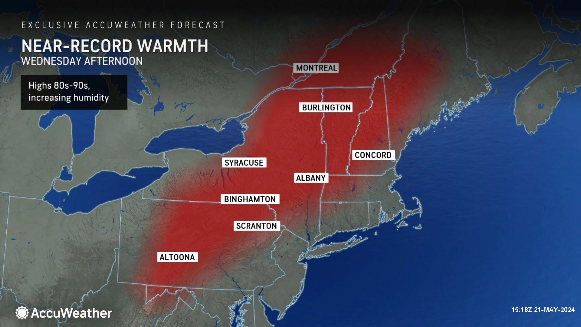
Wednesday's high temperatures will be about 10 to 15 degrees above that benchmark. Very warm. Moderately humid. Brilliantly sunny. A true taste of summerlike weather.
And the forecast stays warm for the foreseeable future, with an uptick of humidity heading into Wednesday night and Thursday. The heat and humidity in the atmosphere may spark some strong thunderstorms, especially Thursday afternoon and evening.
Friday looks good. And most of the Memorial Day Weekend will fare just fine - occasionally unsettled, but unseasonably warm. There is one particular day over the holiday weekend that will bring some weather problems.

Wednesday
You will really be reaching for the air conditioner on Wednesday. Or at least a cold drink. This will probably be New Jersey's hottest day of the week.
It is a beautiful morning, with clear skies, calm winds, and temperatures on either side of 60 degrees.
Mostly sunny skies will cause high temperatures on Wednesday to soar to about 85 to 90 degrees across most of the state. A sea breeze will keep the Jersey Shore much cooler, close to 70 degrees. Just as we have seen every day this week, it will be a nice day at the beaches - just not 90 degrees.
Wednesday's daytime hours look completely dry. However, a popup shower or thunderstorm is possible after sunset Wednesday evening, through the overnight. Any potential rain looks isolated, at best. And the overnight dynamics do not look conducive to severe weather.
Wednesday night will feel somewhat sticky, as low temperatures only dip into the mid 60s.
Thursday
Another warm and very humid day. There is even a chance dew points surge toward 70 - that's steamy.
Skies will progress from partly sunny to mostly cloudy, as clouds steadily increase into the afternoon. High temperatures should once again reach the 80s, with the immediate coast the lone exception.
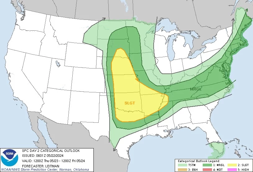
More importantly, there is a good chance for widespread thunderstorms on Thursday, as a cold front approaches from the west. While I can't rule out a pocket of rain developing around late morning, the afternoon and early evening hours will be prime time for storms to roll in.
Given the heat and humidity in the air, any storms during the day Thursday could be on the strong side. That means (brief) torrential downpours, gusty winds, and lots of lightning. The most likely location for such storms would be in central and southern NJ.
The storm threat should end by Midnight Thursday night, with clearing skies and lowering humidity overnight. Low temperatures will probably end up in the lower 60s.
Friday
By the numbers, Friday looks like a solid weather day. Humidity dials back, and temperatures stay warm.
A few model solutions have painted a shower over the Jersey Shore Friday morning, but I strongly favor a completely dry day. We should see pleasant periods of sun and clouds throughout Friday. High temperatures reach into the lower 80s.
A great kickoff to the holiday weekend. And awesome weather to sit in traffic for hours, if you'll be traveling.
The Memorial Day Weekend & Beyond
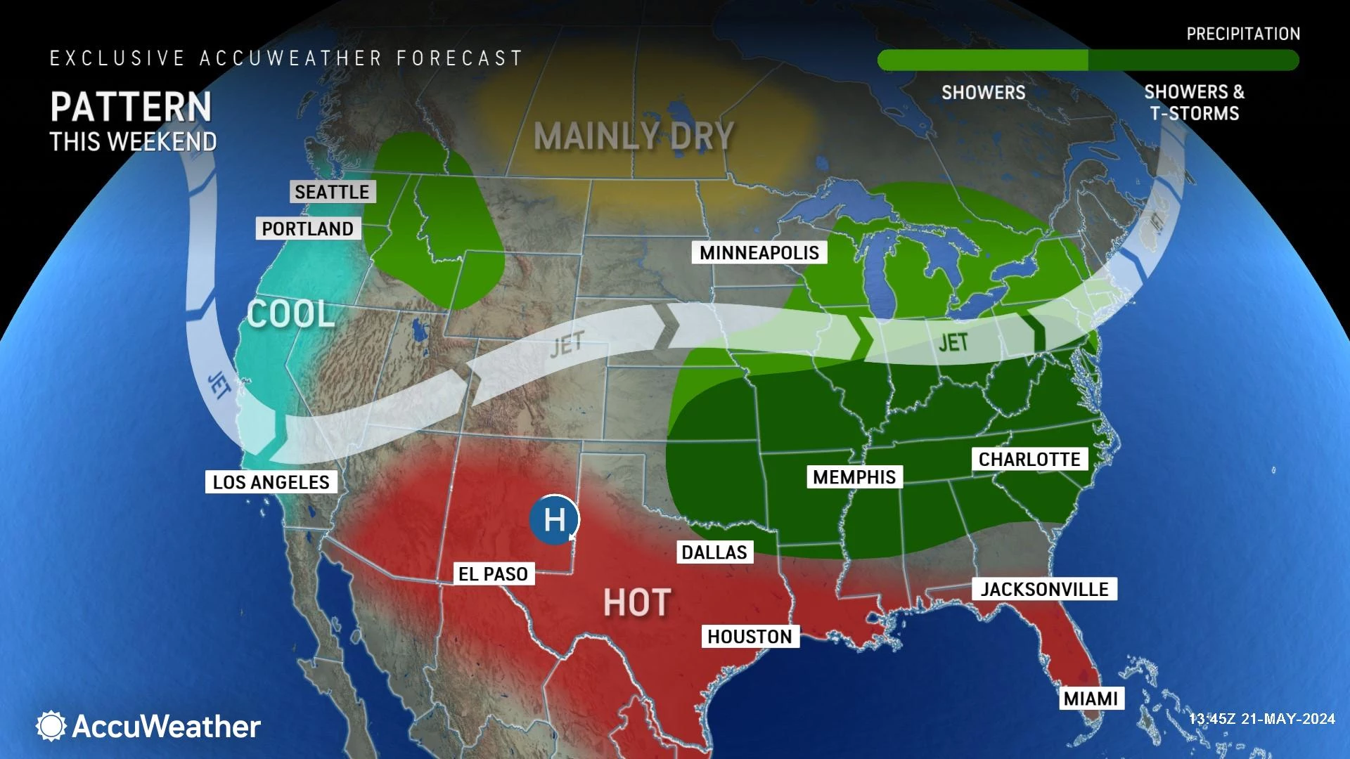
Holiday weekends are among the most important and closely watched forecasts of the year. So far, we have been talking about trends and generalities. Now, model guidance is coming into better resolution. That means the forecast is becoming clearer. And it's not looking too bad at all - occasionally unsettled, but unseasonably warm.
On Saturday, a frontal boundary stalled just south of New Jersey could spark a few showers over New Jersey, especially early and late in the day. Having said that, the majority of Saturday should stay dry, although clouds will probably win the sky overall. Humidity will be reasonable. High temperatures will stay on the warm side, near 80 degrees. The Jersey Shore will be much cooler, with an on-shore breeze in effect. (Maybe only 60s at the beaches?)
Sunday is probably the best day of the holiday weekend proper. I am seeing a partly sunny and probably dry day. Highs bump back into the summerlike 80s.
Memorial Day Monday poses the biggest problems of the weekend. A storm system looks to deliver several spurts of rain throughout the day, including the potential for some embedded thunderstorms and localized downpours. It will not be a washout. But the timing of potential raindrops is something we'll have to watch very closely - especially given all the Memorial Day parades and outdoor ceremonies on the calendar.
LOOK: Best amusement parks in New Jersey
Gallery Credit: Stacker
Dan Zarrow is Chief Meteorologist for Townsquare Media New Jersey. Follow him on Facebook for the latest forecast and realtime weather updates.
The best supermarkets in New Jersey
More From New Jersey 101.5 FM


