NJ weather: Dry Wednesday, then 3 or 4 days with a rain chance
The Bottom Line
Same story, different day. East-southeast wind. On-shore flow. Blah weather. Cooler than normal temperatures. But at least Wednesday will be a dry weather day, which means we can call it fairly pleasant.
We are gaining clarity on the Memorial Day Weekend forecast. Yes, there will be raindrops to dodge. Even a round of super-soaker thunderstorms. But I'm confident there will be lots of bright spots too.
Wednesday
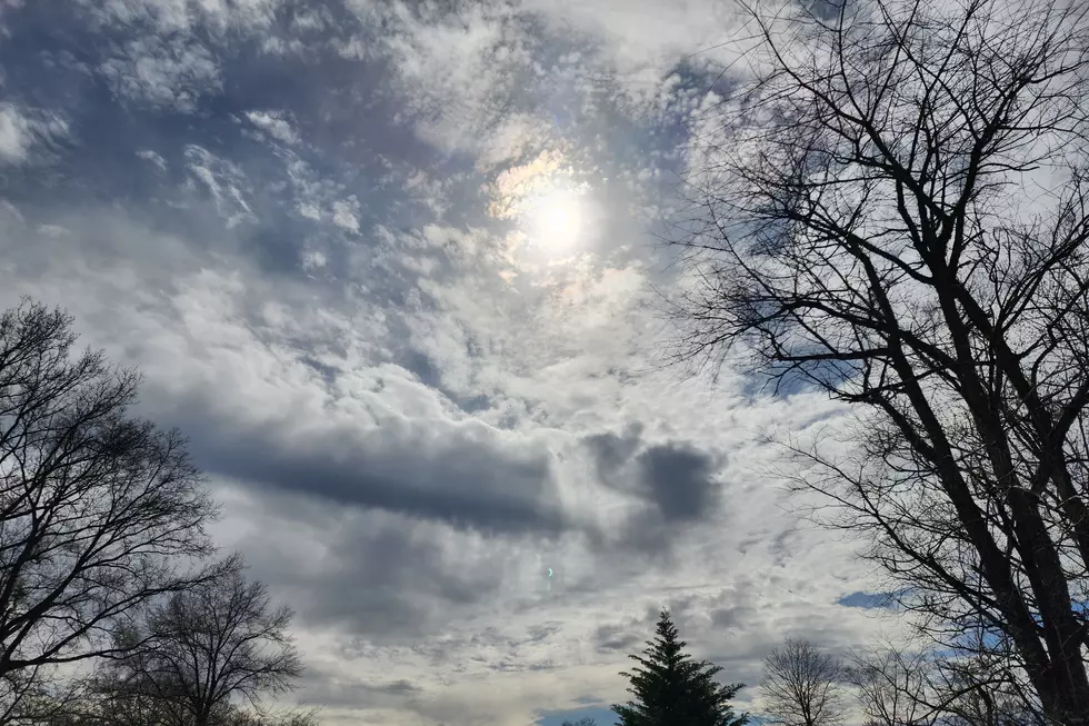
Fairly pleasant and comfortable. First, the day should remain completely dry. In addition, staring at satellite imagery, I think we'll enjoy a brighter sky than Tuesday. Let's call it partly to mostly cloudy.
We're starting off around 50 degrees Wednesday morning — you may be reaching for a jacket, depending on how thick your skin is. High temperatures Wednesday afternoon will reach the upper 60s to around 70. (Cooler at the Shore.) We should end up a degree or two warmer than Tuesday. And still hovering 5 to 10 degrees below normal.
Dry air will yield another quiet, cool night. Low temperatures are forecast to descend into the lower 50s for most of NJ.
Thursday
The storm system that has kept easterly winds and cloud cover over New Jersey will finally become "unstuck" from the mid-Atlantic coast on Thursday. It's not going to have much "oomph" left, but forecast models do show some showers and sprinkles drifting into New Jersey. I'd expect them to be light and brief — certainly not an "all day" kind of rain.
Meanwhile, both clouds and humidity levels will increase on Thursday. High temperatures will end up below-normal one more time, limited to the mid to upper 60s.
Because of the blanket of clouds and increased humidity, temperatures Thursday night will be about 10 degrees warmer than the previous night. We'll drop to 60-ish by Friday morning.
Friday
Big changes. First of all, a bank of thick fog is possible through about mid-morning on Friday, thanks to the higher dew points (humidity). Skies will be mostly cloudy on Friday. But we should see highs spike to a summerish 80 degrees, give or take.
In addition, our weather is going to turn stormy and soggy on Friday. Eventually.
There are some differences among guidance regarding the start time of scattered thunderstorms on Friday. As early as 2 p.m. As late as 6 p.m.
But there's good evidence and consensus toward strong storms with torrential rain for a few hours from Friday afternoon into Friday evening. Over an inch of rain is possible for at least part of the Garden State, which may lead to ponding issues. (Just as the holiday weekend getaway gets going.)
The main line of scattered showers and thunderstorms will exit the state between Midnight and sunrise early Saturday morning.
Saturday
Still unsettled. As Friday's storm system stalls nearby, we'll probably see hit or miss showers throughout the day Saturday. Maybe even an isolated thunderstorm in the warmth of the afternoon. The best chance for raindrops seems to be to the north and west, although I'm not totally convinced of that geography.
Even if you can dodge the raindrops, we'll have thick cloud cover hanging overhead. At least temperatures will be seasonable, in the mid to upper 70s. You might still feel a touch of humidity in the air too. (That will be with us for the foreseeable future.)
Sunday
The bottom line for the holiday weekend: The deeper you go in the forecast, the better the weather gets.
Sunday has the makings of a really nice late spring day. I just can't rule out a few showers developing — spotty to scattered in spread, just like on Saturday.
Otherwise, we'll see a mix of sun and clouds, a light breeze, and high temperatures in the seasonable mid 70s.
Monday (Memorial Day)
The highest "beach day" potential of the holiday weekend will be Memorial Day Weekend. Of course, the warm and dry forecast is also good news for all the parades and remembrance ceremonies across the state. (Let's not forget the real reason for this national holiday.)
Our latest forecast for Monday shows partly sunny skies, dry weather, and warm temperatures. Highs may push into the lower 80s.
There's the unofficial start of summer you're looking for. And, if all goes according to plan, we'll hold on to warmth, humidity, and dormant weather conditions through much of next week too.
Dan Zarrow is Chief Meteorologist for Townsquare Media New Jersey. Follow him on Facebook or Twitter for the latest forecast and realtime weather updates.
2022 primary for U.S. House elections in New Jersey
18 wildly unpopular (but honest) opinions about NJ
More From New Jersey 101.5 FM


