
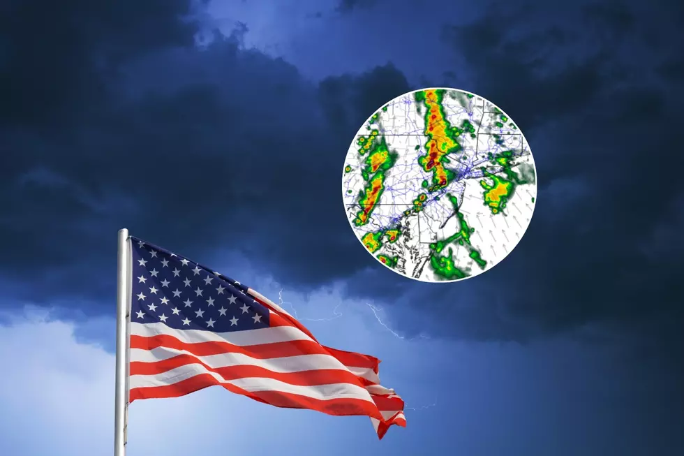
NJ severe weather update: 9 things to know about Memorial Day storms
1.) The Bottom Line
So far, Memorial Day Weekend 2024 has been one for the ages. Warm and beautiful. Aside from some fog issues and seasonably cool water, it has been a great beach weekend.
Heading into the Memorial Day holiday, our weather has taken a turn.

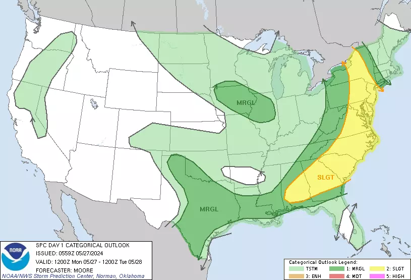
Widespread thunderstorms are in the forecast. And given the heat in the atmosphere and another surge of humidity, they are likely to reach strong to severe limits. That could have significant impacts on outdoor plans Monday, and may impact your travel home from the holiday weekend.
Let's run through the expected timing and impacts from this active weather day. Because you really do not want to be outside or stuck in traffic when nasty storms roll in.

2.) Morning Storms
Most of New Jersey already experienced a round of showers and thunderstorms early Monday morning. We had some vivid lightning, breezy conditions, and a few rainfall totals over a quarter-inch.
As of this writing (8:30 a.m.), those storms have almost completely cleared the coast.
We now enter a lull through the midday hours, with peeks of sun, rising humidity, and high temperatures mainly in the 70s. (Sunshine is not our friend today, as it will "cook" and destabilize the atmosphere for our inevitable thunderstorms later on.)
That lull will allow many scheduled Memorial Day parades and ceremonies to squeeze in. (Although some have decided to cancel, out of an abundance of caution.) Just keep an eye on the sky at all times Monday, no matter what your plans are. When thunder roars, head indoors.
3.) Next Round Start Time
Starting around 1 p.m. Monday afternoon, we will have to watch the southwestern sky for our next push of stormy weather.
Through about 3 or 4 p.m., scattered thunderstorms will spread across New Jersey. And they are likely to pack a strong punch right off the bat. Peak storm threat will probably continue through the dinnertime hours.
4.) All Clear?
After sunset (in the 8 p.m. hour these days), storm intensity and spread are expected to diminish. But we certainly could see lingering showers and thunderstorms over New Jersey through about 11 p.m.
Eventually, a cold front early Tuesday morning will sweep in drier weather and drier air.
5.) Heavy Rain / Lightning
If you see a thunderstorm, it will produce pouring rain. And dangerous cloud to ground lightning. Period, full stop.
Over an inch of rain is possible. If model guidance is to be believed, the best chance for inch-plus rainfall will be to the northwest.
Of course, heavy rain can lead to ponding and flooding issues. We use a calculation called "Flash Flood Guidance" to determine how much rain would be required to cause flooding. For Monday, FFG is 1 to 2 inches in an hour for most of NJ. So it would take an impressive downpour to cause widespread flooding issues.

Still, "big puddles" could plague roads and other low-lying areas during and just after storms. Never attempt to drive, walk, or swim through flooded areas.
6.) Gusty Winds
Monday's storms will also be pushing a lot of air out ahead of them, and will be capable of producing damaging 60+ mph winds.
This is a statewide concern. There is not much more to say here. If a thunderstorm is approaching, if a "warning" has been issued for your area, you should seek shelter inside a sturdy building until it passes.

7.) Hail
Powerful thunderstorms tower several miles up into the atmosphere. And powerful vertical winds, called updrafts, can cause chunks of ice to form. We call that hail.
Even though surface air temperatures will be in the 70s (at least) as storms arrive, there is a chance for icy hail falling from the strongest storms. You may see some reference to "large hail" in the forecast, which refers to quarter-sized hail or larger. That is big enough to qualify as "severe hail" and cause shingle, windshield, and tree damage.
8.) Tornadoes
Last, but certainly not least, the initial burst of storms Monday afternoon will be in an environment conducive to rotation. Such twisting storms may drop a tornado or two.
A tornado is a very localized weather phenomenon, often just a few hundred feet wide and lasting just a few minutes. But they are very dramatic and very dangerous, often producing rotating 80+ mph winds.
The best chance of a quick spin-up will be the western edge of the state, where strong thunderstorms will strike first. But everyone in New Jersey should stay alert to this possibility Monday afternoon and early evening.
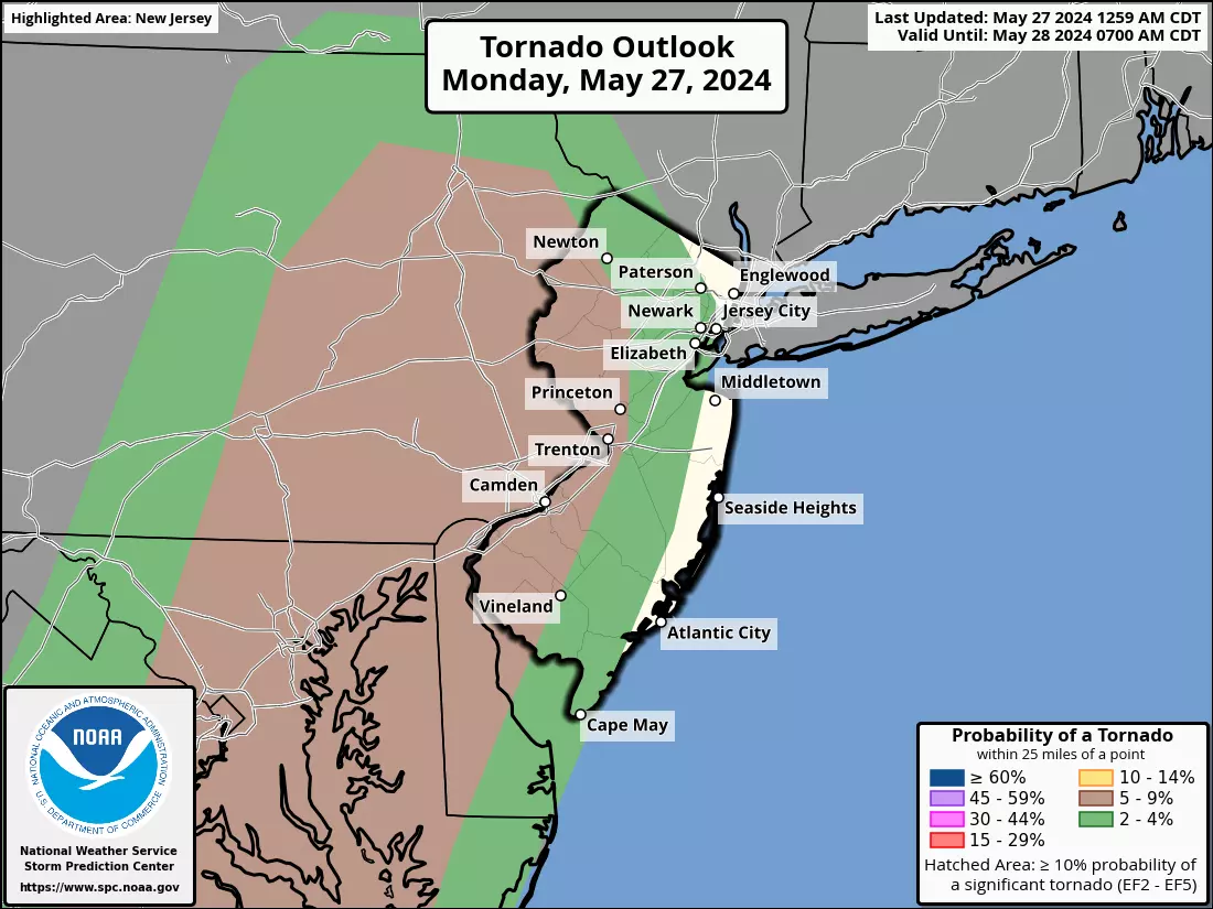
The same safety rules apply as the other severe weather impacts. If a Tornado Warning is issued for your area, your phone will alert you. That is the time to seek shelter on the lowest floor of a sturdy building, keeping away from windows.
9.) Coming Up This Week
The rest of this final week of May will feature some very nice weather.
Humidity will be zapped from our atmosphere by Tuesday morning. It will be mostly sunny and warm, with highs near 80. A really nice day.
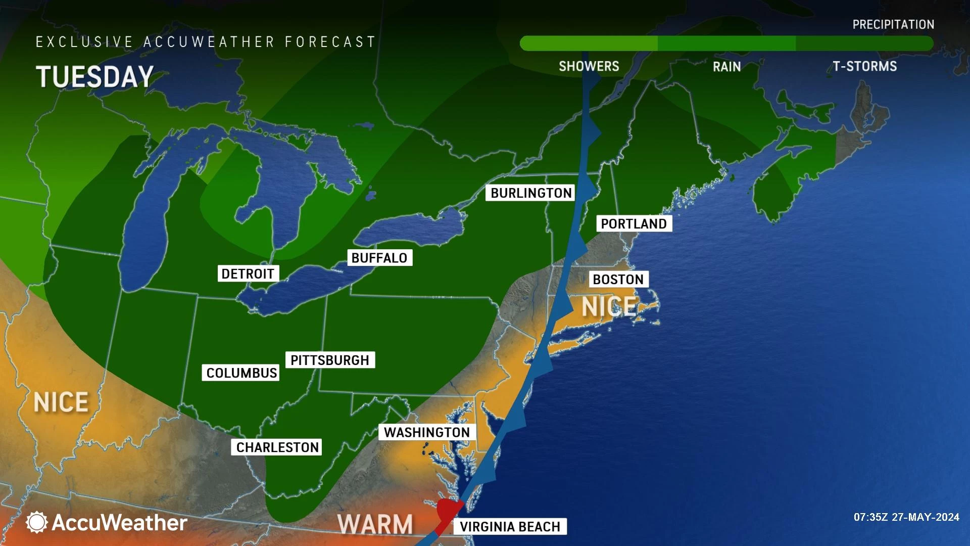
Temperatures will scale back to the 70s for the rest of the week. But remember, that is near normal for this time of year.
The only chance of rain coming up will be showers late Wednesday to early Thursday. Otherwise, sunshine and pleasantly dry conditions will dominate.
New Jersey's next "big" storm system threat will not come along until June — approximately early next week.
UPDATED: Memorial Day Parades in New Jersey 2024 (alphabetical)
Gallery Credit: Dan Alexander
Dan Zarrow is Chief Meteorologist for Townsquare Media New Jersey. Follow him on Facebook for the latest forecast and realtime weather updates.
POP QUIZ: Can you guess these NJ landmarks from Google Earth images?
Gallery Credit: Dan Zarrow
More From New Jersey 101.5 FM


