
Deliciously warm weather Friday, hotter and steamier by next week
You want some "practically perfect" midsummer days? Here you go! This weekend marks the midpoint of climatological summer (June-July-August), and the weather forecast for the start of the weekend looks perfectly seasonable and quite pleasant. By weekend's end? Ehhh, humidity starts to surge again, as we begin another potential (brief) heat wave.
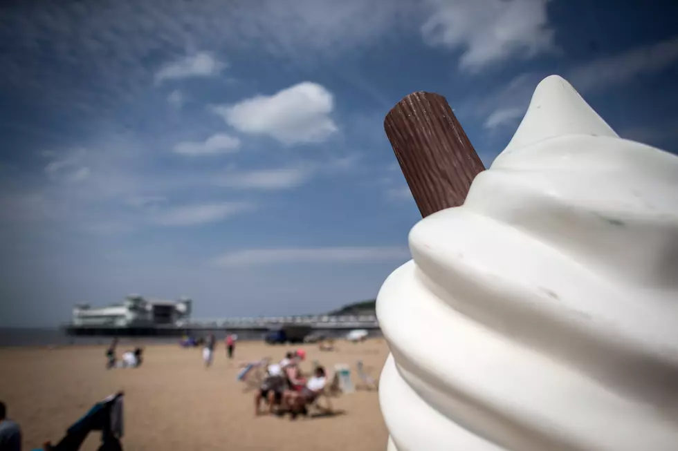
The normal high temperature for Friday at Newark, Trenton, and Atlantic City is 86 degrees. And that's pretty much where we'll end up across inland New Jersey, in the mid 80s Friday afternoon. Thermometers along the coast will top out in the upper 70s, give or take. Humidity will stay fairly low, with dew points holding around 60. We'll see a pleasant mix of sun and clouds with no rain expected.
Again, a pretty perfect summer forecast! Beaches, boardwalks, and backyard pools will be popular!
One hiccup is continued coastal concerns. Even though the remnants of Chris (technically a "post tropical cyclone") are way out of the picture, we have another Moderate Risk of dangerous rip currents and rough surf posted for the Jersey Shore all day Friday. I suspect this is a cautionary notice, more a matter of the light southeasterly wind (on-shore flow) than the entire ocean getting churned up. Still, as always, it's a good idea to pay close attention to posted signs and flags and to follow lifeguard instructions.
Our weather stays quiet for Friday night. With a few clouds overhead, most low temperatures will dip into the lower to mid 60s.
And I think we'll squeeze out one more low-humidity day for Saturday, although thermometers will end up a few degrees higher. High temps are forecast to reach the upper 80s to around 90 degrees for most of the state. With a stiff southwesterly breeze up to 20 mph, the sea breeze effect will be limited, so even the beaches are expected to pop above 80 degrees during the heat of the day. Daytime hours for Saturday will be partly sunny.
As humidity builds, our weather could turn a bit more unsettled. I have to add an isolated shower or sprinkle to the forecast from Saturday evening through Sunday morning. A popup thunderstorm will be possible Sunday afternoon. But I don't think these "splotches" of rain will be widespread or prolonged.
Aside from the storm chance, Sunday will be hotter and more humid. As skies become mostly cloudy, we'll see high temperatures in the upper 80s to lower 90s. Again, even coastal communities will be toasty warm — the only spot in NJ that might stay below 80 degrees on Sunday will be the barrier islands.
Monday and Tuesday look steamy too, with a return to lower/mid 90s across most of the state. (Again, potential heat wave here with 90+ for Sunday-Monday-Tuesday.)
Our next cold front and chance for widespread rain and thunderstorms still looks to arrive Tuesday afternoon, spreading across the state through Tuesday evening. That'll nip the extreme heat in the bud — as rain exits Wednesday morning, we should return to seasonable and pleasant weather for the middle-to-late part of next week.
Have a great weekend!
Dan Zarrow is Chief Meteorologist for Townsquare Media New Jersey. Follow him on Facebook or Twitter for the latest forecast and realtime weather updates.
More From New Jersey 101.5 FM


