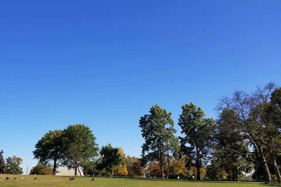
Oh, what a wonderful weekend! 70s and dry weather for NJ
The Garden State's pleasant, mild weather is still expected to continue through Tuesday.
It was the best of times, it was the worst of times. This is a tale of two weather forecasts. It will be very nice Friday, Saturday, Sunday, and Monday. It will be not so nice for Tuesday and beyond.
A weak front is actually passing through New Jersey early Friday morning. The new air mass behind the front isn't really cooler, but it is drier. Therefore, the frontal passage will have little to no effect on our daytime forecast.
High temperatures on Friday will be similar to Thursday — maybe even a few degrees warmer (especially in South Jersey). Skies will be bright and sunny, perhaps with a few clouds along the way. It will be breezy at times as well, up to about 20 mph tops.
Friday night should feature lovely weather for an after-dinner stroll, a high school football game, or catching the Orionid meteor shower. Skies will remain clear, with low temps bottoming out in the mid 40s (North Jersey) to around 50 degrees (the rest of the state).
Sunshine will resume for the start of the weekend on Saturday, helping temperatures into the mid 70s by the afternoon. Eventually, a bank of clouds will fill-in the sky in the afternoon hours. Still a pleasant day, with hardly any wind.
By Sunday, we'll see more clouds than sun overhead (i.e. mostly cloudy). I believe that will keep high temperatures in the lower 70s — still well above-normal for late October.
Monday looks quite cloudy as well. But a surge of warm air on a stiff southerly breeze will probably push temperatures upward — in fact, I expect Monday to be the warmest day of this stretch. Our forecast currently calls for 73 to 79 degrees, and I wouldn't rule out a stray station from touching 80!
Changes arrive Tuesday, as a slow-moving cold front serves as a "highway" for several waves of low pressure. That will leave to a pretty wet day, with periods of rain. The heaviest, steadiest rain looks to fall Tuesday afternoon. Widespread rainfall totals around an inch are expected.
Winds pick up late Tuesday as well, potentially gusting over 40 mph.
As the rain exits early Wednesday morning and the wind calms down by midday Wednesday, skies should clear quickly. Temperatures, however will also drop sharply. Thermometers will hover in the lower to mid 60s for Wednesday afternoon. Highs on Thursday and Friday may get stuck in the below-normal 50s for part of the state.
So yes, we'll have a very different, more autumnal weather picture across New Jersey by late next week. Enjoy the unseasonable warmth while it lasts!
Dan Zarrow is Chief Meteorologist for Townsquare Media New Jersey. Follow him on Facebook or Twitter for the latest forecast and realtime weather updates.
More From New Jersey 101.5 FM


