Nor’easter Brings Rain, Snow & Wind
The nor'easter is here just in time to make for a snowy ride home.
Snow began falling around 9AM in parts of Gloucester County and wind gusts were noticed in shore areas. It picked up in intensity as the afternoon went on, but as the storm tracked a bit further to the east, the threat of snow moved from western counties to central and coastal areas and lessened the overall storm effects on New Jersey.
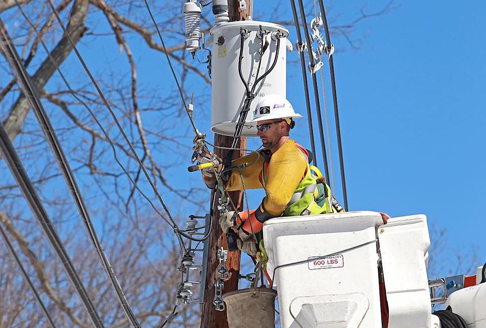
The wet snow accumulating on power lines just re-strung from Sandy has plunged many back into darkness. 3-4 inches of heavy wet snow fell in the Ramtown section on Howell late Wednesday afternoon; a multi-mile backup developed on the snow covered southbound Garden State Parkway from the area of exit 98 into Ocean County.
The National Weather Service has issued a Winter Weather Advisory until 6AM Thursday morning for up 2-4 inches of snow that may mix with sleet in some areas.
A Wind Advisory is posted for coastal areas for winds from the north of 25-30 MPH with gusts up to 40 MPH. Trees and structures weakened by Sandy will be vulnerable to damage as will beach areas due to a lack of dunes and other natural barriers.
Flooding along the shore is also a concern with moderate flooding expected at high tide; a Coastal Flood Advisory is in effect for some minor coastal flooding.
Many coastal towns damaged by Sandy evacuated low lying areas in anticipation of flooding. Dunes and boardwalks that usually protect the shoreline have been destroyed or not yet replaced.
Gov. Chris Christie warned that high winds may mean some homes and businesses that regained power will lose it again, and the wind could also slow efforts to restore power.


The Associated Press contributed to this story.
More From New Jersey 101.5 FM


