NJ weather: Quiet for now, another potential nor’easter next week
As the snow cleanup continues, the Garden State will hold a less active weather pattern through the start of the upcoming weekend.
Digging Out
Wow, what a mess! As you probably noticed, Wednesday's snowstorm was just as bad as expected (if not worse). Part of North Jersey saw over two feet of fresh snow. The heavy, wet snow brought down trees and lines, causing widespread power outages yet again. Meanwhile, New Jerseyans were both amused and surprised by the intensity of the Thundersnow phenomenon.
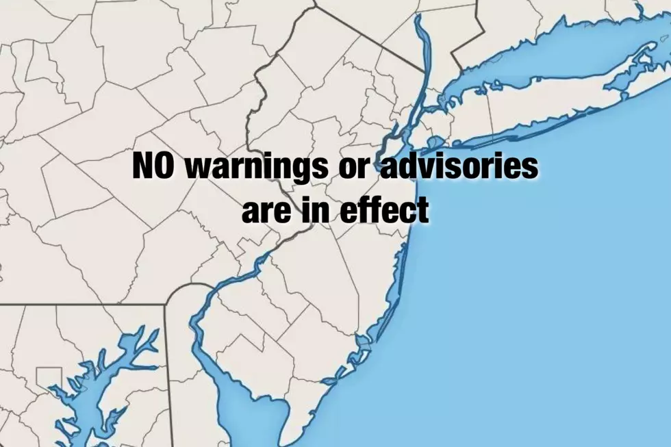
Needless to say, Thursday's weather will be much quieter than Wednesday's. As our nor'easter has now pushed far out to sea, all warnings and advisories have been allowed to expire. That happy news is especially notable because the Jersey Shore has experienced precariously persistent tidal flooding since last week's nor'easter. Water levels and surge levels will be much lower for the foreseeable future.
Look for mostly to partly sunny skies throughout Thursday morning and Thursday afternoon. The widespread snow cover will keep temperatures on the cool side, with highs limited to the upper 30s to lower 40s. That's well below-normal for early March. A continuing stiff breeze (gusting to 25 mph) will keep that chilly air moving. The combination of partial sunshine and above-freezing temperatures will kickstart snow and ice melt Thursday, especially on blacktop surfaces. (Dark colors absorb light and heat more efficiently than reflective lighter colored objects.)
Mostly Quiet Weather Continues
There will be some refreeze potential Thursday night, as thermometers dip into the 20s across most of New Jersey. That means the puddles from the daytime snow melt could refreeze into solid ice ("black ice"). We'll see partly cloudy skies overnight — again, staying quiet.
A weak atmospheric wave could spawn a few snow showers during the day Friday, especially (but not exclusively) in North Jersey. Nothing to write home about though, as no accumulations are expected. We'll see a mix of sun and clouds, with high temperatures in the lower to mid 40s.
The second weekend of March will start out pleasant, with mostly sunny skies and highs in the mid to upper 40s on Saturday. We'll once again contend with a bit of a breeze, occasionally gusting to the 20 to 30 mph range.
Clouds increase on Sunday, and we'll hold onto mid 40s during the day.
Next Potential Nor'easter?
I use the word potential very carefully and deliberately here. Another strong storm system is expected to push through the mid-Atlantic region late Sunday into Monday. Then, it could follow two tracks: 1.) the system could take a "nor'easter / Miller type A" track by making a left turn and sliding up along the Atlantic coast, OR 2.) It could continue pushing eastward out to sea. As you would guess, the first scenario would lead to yet another round of weather and surf impacts for New Jersey. The second scenario would not.
The GFS model currently selects option #1, with rain, wind, and snow for at least southern and coastal New Jersey. For the curious, I've seen snow accumulations as high as 7 inches.
Meanwhile, the European and Canadian models show a complete miss for New Jersey.
Poor model consensus yields very low forecast confidence. Therefore, I suggest you ignore the hype — it's way too early to make a definitive call regarding this next storm system. I mention it here because this forecast is absolutely worth watching.
I've included a "chance" for precipitation in the forecast starting 7 p.m. Sunday through the daytime hours on Monday. Let's see how the models play out over the next day or two.
Dan Zarrow is Chief Meteorologist for Townsquare Media New Jersey. Follow him on Facebook or Twitter for the latest forecast and realtime weather updates.
More From New Jersey 101.5 FM


