Nor’easter finally lets go of New Jersey, sunshine and warmup ahead
The Bottom Line
It is still nor’easter-ing outside Monday morning, but we will continue to see improvements throughout the day. The center of this storm system is now spinning just offshore, pushing additional bands of rain and drizzle through New Jersey. We will not dry out completely until about early afternoon Monday. Skies will stay cloudy, winds will remain breezy, and temperatures will go nowhere. At least the wind and coastal flooding picture will be much better than this weekend. Having said that, one more round of widespread flooding is expected during Monday morning’s high tide cycle — we will be watching for moderate flooding along the back bays of Ocean County, and minor category flooding everywhere else along the Jersey Shore. Partial sunshine resumes Tuesday, pushing temperatures into the 70s. We could even see widespread 80s return to New Jersey to kick off October later this week.
Weather Hazards
A Coastal Flood Warning remains in effect for only the back bays of Ocean County until 2 p.m. Monday. Those tidal waterways are still stacked with water after this weekend’s dramatic tidal flooding, and one more round of moderate category flooding is possible during the morning high tide cycle. A lesser Coastal Flood Advisory covers the rest of the Shore, with minor flooding expected. That translates to “the usual spots” — vulnerable roadways and low-lying areas susceptible to taking on a foot or two of water.
Wind and rain do not pose any special danger as our nor’easter wraps up Monday. New Jersey’s next storm system, arriving Saturday into Sunday, may produce flooding rains and/or thunderstorms. For now, it is just worth watching — we will talk specifics later in the week.
Climatological Context
September 28 is the 271st day of 2026.
Normal high temperatures range from 73 to 74 degrees, while normal low temperatures range from 53 to 56 degrees.
September is, on average, New Jersey’s fourth warmest and sixth driest month of the year.
Monday
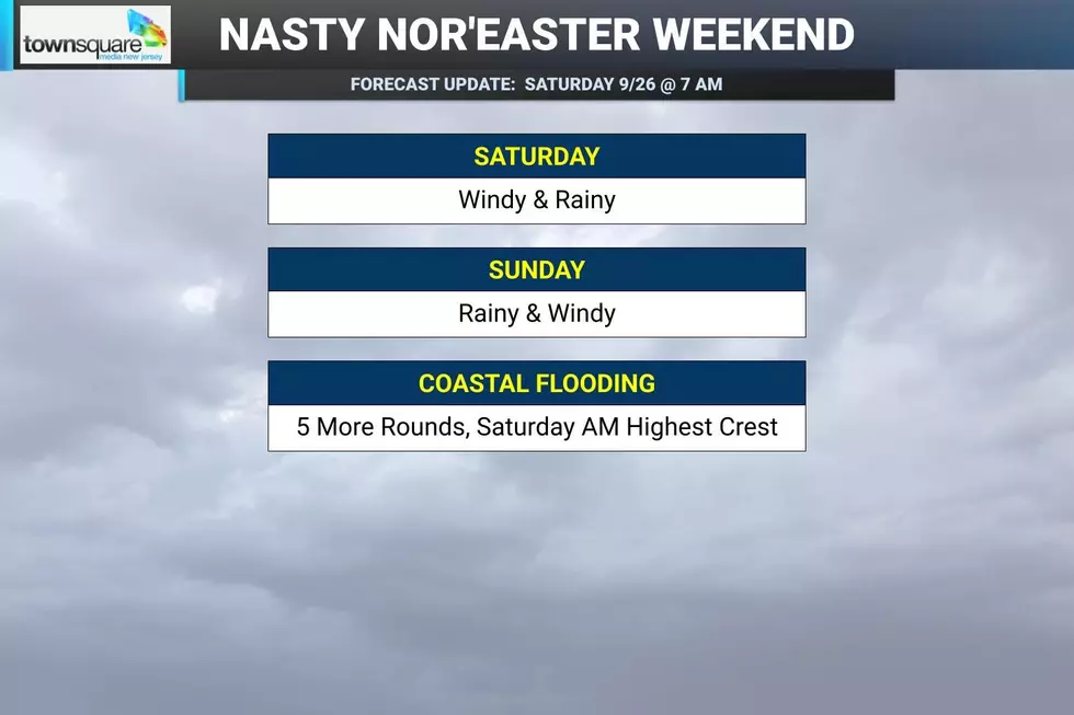
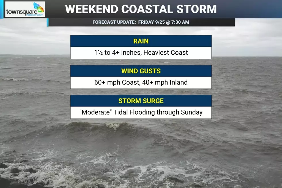
What a weekend. Over 6 inches of rain in spots. Wind gusts topping 70 mph. And some of the worst coastal flooding New Jersey has seen in years. This nor'easter meant business, and made for a sloppy if not dangerous weekend, no matter where in the state you were.
Monday is all about improving weather ... eventually. As of this writing, the center of circulation of this coastal storm system is spinning about 30 miles off the Jersey Shore. And that is why bands of rain continue to stream through New Jersey.
The danger is over, as Monday will be much tamer. Scattered light rain and drizzle will continue through the morning until about midday before finally shutting down by early afternoon. (Ending generally from southwest to northeast.)
Through the afternoon, skies will stay cloudy and it will be somewhat breezy. Temperatures will go nowhere Monday, holding around 60 to 65 degrees for the duration.
One final widespread round of coastal flooding is expected around Monday morning’s high tide. That is just before 9 a.m. on the oceanfront and closer to Noon for back bays and other tidal waterways.
The back bays of Ocean County could still touch moderate flood stage, while minor flooding is expected elsewhere along the Shore. In fact, a few schools in Monmouth and Ocean counties are closed Monday because of flooding — essentially a "coastal flooding day" instead of a "snow day".
Monday night finally brings another step in the right direction. Clouds will start breaking apart, especially after Midnight. Low temperatures will end up seasonably cool, in the mid 50s.
Tuesday
Are ya ready for some sunshine? I sure am!
Tuesday finally breaks New Jersey out of the gray, damp, windy funk. Expect partly sunny skies, dry weather, and highs right around 70 degrees.
It should be a very nice late September day. Other than rough surf, no issues.
Wednesday
The weather only gets brighter and warmer as the week goes on.
I will call Wednesday mostly sunny, with dry weather, a nice breeze, and high temperatures climbing into the lower to mid 70s. That is right around or just above normal for the last day of September.
Thursday & Beyond
You know, after one of New Jersey’s wettest Septembers in recent years — including a remarkable turnaround from prolonged drought to repeated deluges — a stretch of quiet weather is very welcome.
Thursday brings the biggest temperature jump of the week, with highs surging into the lower 80s. We will see a mix of sun and clouds and another dry weather day.
Unfortunately, things will turn cooler and inclement again just in time for the weekend. This will be potentially the 4th weekend in a row with soaking rain in the forecast.
A shower is possible at some point on Friday, as a cold front moves through. Highs will still be in the 80s for one more day.
Then Saturday will end up in the 60s. Even so, it should be a decent fall day despite the cool temps, mostly cloudy skies, on-shore breeze, and increasing chance of late-day showers.
Sunday looks wet. Again. Especially in the morning. It is still early to hang my hat on the exact details of this forecast. But I will say that multiple inch rainfall is yet again possible right in the middle of our weekend. Not exactly ideal fall weather.
Remembering Superstorm Sandy: 14 years later
Gallery Credit: Dan Zarrow
Dan Zarrow is Chief Meteorologist for Townsquare Media New Jersey. Follow him on Facebook for the latest forecast and realtime weather updates.
First fall storm slams New Jersey
Gallery Credit: Erin Vogt
More From New Jersey 101.5 FM