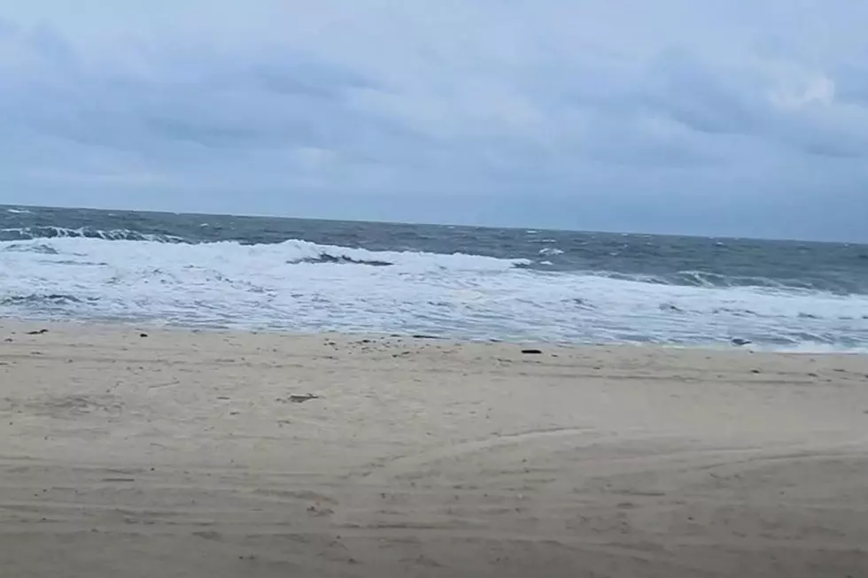
This nor’easter is a top five coastal flooding event for NJ, with more to come
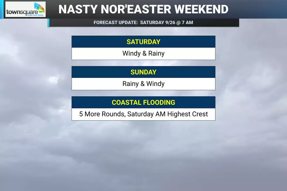
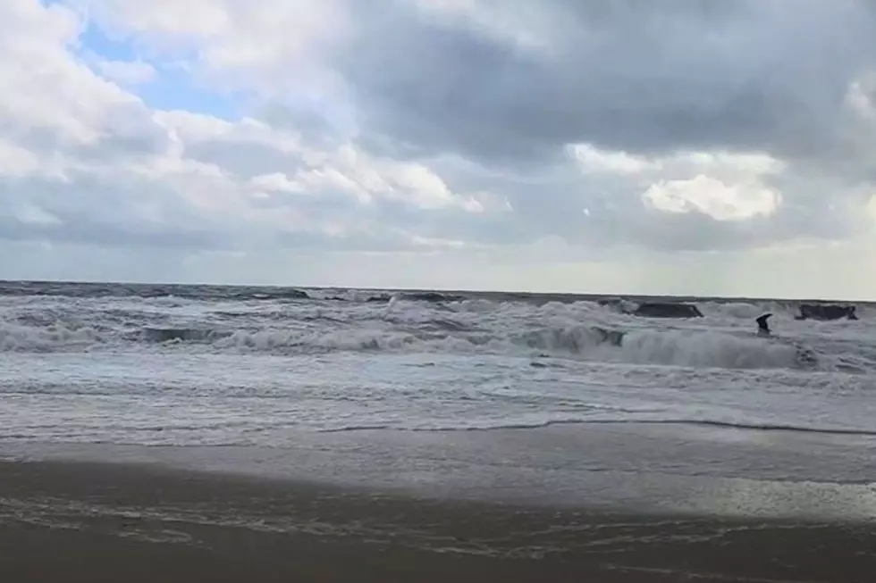
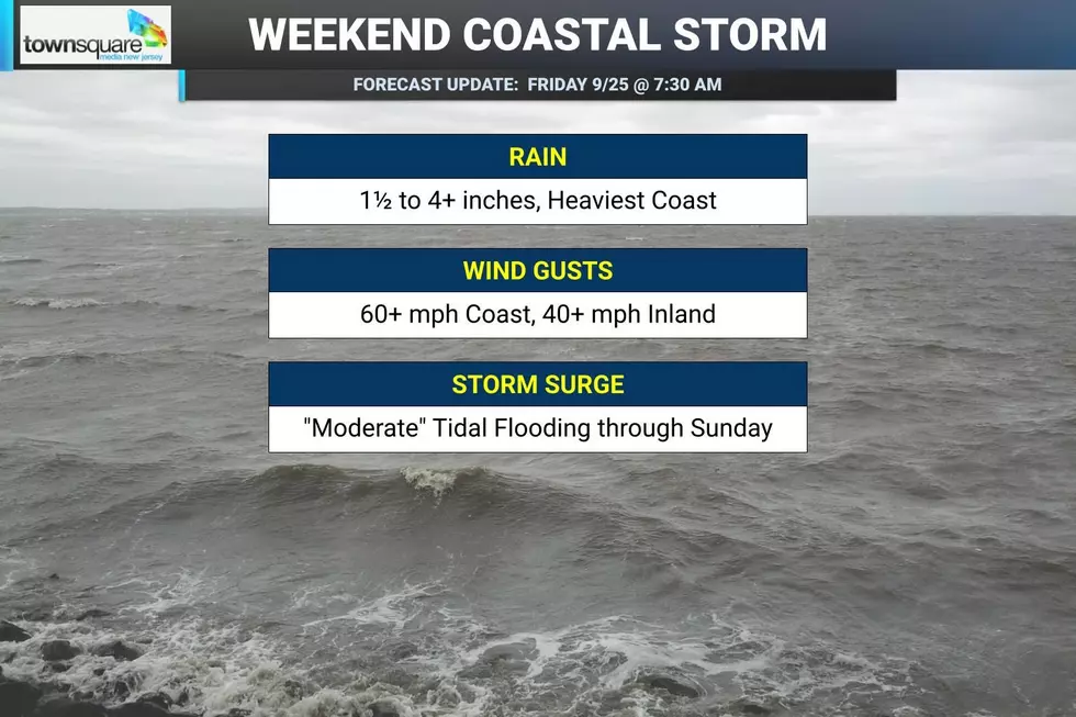
Unfortunately, this weekend's coastal storm — nor'easter — came in just as strong, just as windy, just as rainy, and with just as bad a coastal flooding picture as we feared.
The good news is that Saturday morning's high tide cycle was the highest of the weekend. The bad news is that Major category flooding was reported at several spots up and down the Jersey Shore.
This was due to a combination of bays stockpiling water all week due to persistent on-shore winds and tidal flooding, an elevated astronomical tide due to the full moon, and continuing strong winds and storm surge.
All week long, some outlets have been reporting that this storm would be "just as bad as Superstorm Sandy" — New Jersey's storm of record, which decimated Shore communities in late October 2012.
Was it?
No.
While for a few observation points, this was the worst coastal flooding reported since Superstorm Sandy, at no point along the Jersey Shore were water levels anywhere near Sandy's crest.
The Manahawkin Bay at Ship Bottom reached its 2nd highest tide level on record, necessitating the closure of Route 72 Eastbound to Long Beach Island. But even there, flood levels were a full two feet lower than Sandy's were fourteen years ago.
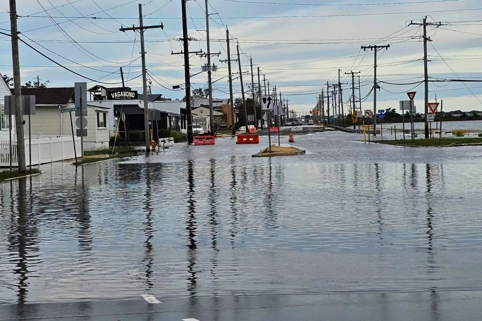
I did a tour of some major flood gauges along the Shore via the Middle Atlantic River Forecast Center, a branch of the National Weather Service. For those Shore points, you'll find a summary of what happened Saturday morning, how Saturday's tide compares historically in terms of placement on the top flood crests list for that site and the overall record, and what the current high tide forecast looks like for the rest of the weekend as the nor'easter rages on.
A Coastal Flood Warning remains in effect for most of the Jersey Shore until at least Sunday.
Atlantic Ocean @ Sandy Hook
—Crest... 8.79 feet - 1 inch above major flood stage
—Place... 13th
—Record... 14.40 feet - Sandy
—Saturday PM... 8.0 feet - Moderate
—Sunday AM... 7.8 feet - Moderate
—Sunday PM... 6.9 feet - Minor
—Monday AM... 6.9 feet - Minor
Shrewsbury River @ Sea Bright
—Crest... 8.00 feet - 10 inches above major flood stage
—Place... 4th
—Record... 11.73 feet - Sandy
Tide forecasts are not available for this observation point.
Watson Creek @ Manasquan
—Crest... 7.64 feet - less than 1 inch below major flood stage
—Place... 5th
—Record... 12.28 feet - Sandy
—Saturday PM... 6.9 feet - Moderate
—Sunday AM... 6.8 feet - Moderate
—Sunday PM... 5.4 feet - None
—Monday AM... 5.4 feet - None
Barnegat Bay @ Barnegat Light
—Crest... 5.17 feet - 4 inches below major flood stage
—Place... 3rd
—Record... 6.39 feet - Sandy
—Saturday PM... 4.9 feet - Moderate
—Sunday AM... 4.7 feet - Moderate
—Sunday PM... 3.7 feet - Minor
—Monday AM... 3.6 feet - Minor
Manahawkin Bay @ Ship Bottom
—Crest... 5.30 feet - 4 inches above major flood stage
—Place... 2nd
—Record... 7.34 feet - Sandy
Tide forecasts are not available for this observation point.
Atlantic Ocean @ Atlantic City
—Crest... 7.86 feet - 2 inches below major flood stage
—Place... 10th
—Record... 8.98 feet - December 1992 nor'easter
—Saturday PM... 7.4 feet - Moderate
—Sunday AM... 7.1 feet - Moderate
—Sunday PM... 5.4 feet - None
—Monday AM... 5.9 feet - None
Great Egg Harbor Bay @ Ocean City
—Crest... 7.63 feet - 4 inches above major flood stage
—Place... 4th
—Record... 9.95 feet - December 1996 nor'easter
—Saturday PM... 7.0 feet - Moderate
—Sunday AM... 6.5 feet - Moderate
—Sunday PM... 4.9 feet - None
—Monday AM... 5.3 feet - Minor
Cape May Harbor @ Cape May Harbor
—Crest... 8.30 feet - 1 inch above major flood stage
—Place... 3rd
—Record... 9.36 feet - Blizzard of 2016 (January 2016)
—Saturday PM... 8.1 feet - Moderate
—Sunday AM... 7.3 feet - Moderate
—Sunday PM... 5.9 feet - None
—Monday AM... 6.3 feet - Minor
First fall storm slams New Jersey
Gallery Credit: Erin Vogt
Dan Zarrow is Chief Meteorologist for Townsquare Media New Jersey. Check out Dan's weather blog or follow him on Facebook for your latest weather forecast updates.
Remembering Superstorm Sandy: 13 years later
Gallery Credit: Dan Zarrow
More From New Jersey 101.5 FM