NJ weather: From wet to warm to hot
The Bottom Line
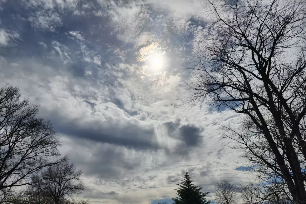
Tuesday was a spectacular day. The sunshine, the refreshing breeze, the warm temperatures, the comfortable humidity. I wish we could copy and paste that a few more times.
But we have quite a wild ride in the weather forecast here. While Wednesday daytime looks good, we will get wet Wednesday night through Thursday morning. Nothing crazy, just some rain. Possibly a few rumbles of thunder.
And then the heat is on. 70s on Thursday. 80s on Friday. 90s this weekend. Although not for everyone. And there will be some thunderstorms at the tail-end of the weekend.
Wednesday
To start, Wednesday morning is our coolest in over a week. We've got 40s and 50s on the temperature map, so don't be scared to reach for a jacket to start the day.
Overall, Wednesday will be slightly cooler, less windy, and less humid than Tuesday. But it still looks like a great day. Early sunshine will lead to increasing clouds through the afternoon. High temperatures should reach the lower 70s — very close to normal for mid-May.
The daytime hours will stay dry. An approaching storm system and associated warm front will eventually lead to showers Wednesday evening. (No earlier than sunset.)
Steadier, heavier rain is likely for pretty much everyone after Midnight. There could be some pockets of heavy stuff. Maybe rumbles of thunder. Total rainfall should average a half-inch statewide.
Thursday
Raindrops may linger through Thursday morning's rush hour. Our weather should dry out completely by about mid-morning Thursday — let's say 9 a.m.
And then we fall right back into the pleasant weather routine. As skies slowly clear into Thursday afternoon, it will turn mild and breezy. Highs on Thursday are forecast to push into the mid 70s.
Friday
Things will really start heating up on Friday. If you're not a fan of heat and humidity, you may find yourself reaching for the air conditioner for the first time this season.
With a mix of sun and clouds, highs will push into the lower to mid 80s for most of the state on Friday. The humidity picture is a bit unclear, so I'm not sure if it'll be "regular heat" or "steam heat". Still, you are going to sweat.
There is one spot in New Jersey that absolutely will not see 80s on Friday. That is, of course, the Jersey Shore. Ocean temperatures are averaging 60 degrees along New Jersey's coast at the moment — fairly typical for this point of the year. Assuming a sea breeze sets up, coastal areas would be held to the 60s on Friday afternoon.
So if you're planning on a nice, hot beach day, you may be disappointed as you drive east of the Garden State Parkway. The coolest part of the state will be barrier islands, from Lavallette to Seaside Heights to Island Beach State Park to Long Beach Island to Atlantic City to Wildwood.
As things heat up, nighttime lows should still dip into the 60s. That's not too bad or stifling. It will be unseasonably warm, but not uncomfortably or dangerously so.
Saturday
Summertime heat and humidity. Our first widespread 90-degree day of the season.
Indeed, I fully expect high temperatures to reach the lower 90s on Saturday across interior New Jersey. Once again, beaches will be cooler, probably topping out closer to 70 degrees.
Skies will be mainly clear, allowing for plenty of hazy sunshine. A light southwest breeze will keep the hot air moving around.
Although the air will be unstable and juicy, we probably won't have the "spark" necessary for any thunderstorms to form. I am a little worried concerned a sea breeze front offering an opportunity for a quick popup — but not models currently paint that as a likely prospect.
Sunday
The biggest chance in this forecast is a later arrival time for this weekend's eventual cold front. That means Sunday will be hot too — again 90+ degrees away from the coast. We'll call it a partly sunny day.
At the moment, the most likely timing for showers and thunderstorms is Sunday evening. That timing is subject to wiggle, either earlier or later, depending on the speed of the aforementioned cold front. And we'll see how intense the rain, thunder/lightning, and wind will be.
The Extended Forecast
The GFS model favors that front stalling over New Jersey on Monday, keeping our weather wet and cloudy. The Euro is a drier solution. No matter what, it's going to be significantly cooler — highs will only reach the 60s for both Monday and Tuesday.
It's hard to believe we're only 10 days away from the big Memorial Day Weekend. Long-range guidance looks good for now. But that means very little this far in advance — stay tuned!
Dan Zarrow is Chief Meteorologist for Townsquare Media New Jersey. Follow him on Facebook or Twitter for the latest forecast and realtime weather updates.
11 reasons why storm chasing in NJ is a very, very bad idea
Best spots to pick your own NJ strawberries
More From New Jersey 101.5 FM


