

From near-record to not-so-nice: 4 rounds of rain in next 4 days
This is still a complicated forecast. Several forecasters (including myself) have likened this week's forecast a roller coaster, in regards to our daily temperatures swings from warm to cold to warm to cold. I'm now thinking it's more like a log flume. Since we're going to get wet. (Wah wah, corny meteorologist humor...)
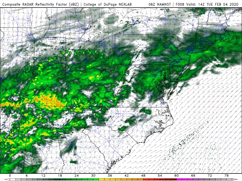
The culprit for the wild weather is a frontal boundary, which will pass through New Jersey Tuesday night, push northward again on Thursday, and just generally hang in the neighborhood for the rest of the week. That front will serve as a "highway" for atmospheric disturbances, each with a chance of rain. I count 4 or 5 such batches of wet (and maybe wintry) weather impacting the Garden State through the end of the week.
As of this writing (5:30 a.m.) Tuesday morning, showers are knocking on New Jersey's western door. Temperatures are close to the freezing mark in far North Jersey (above Interstate 80), so there could be a few snowflakes. But we're generally just looking at scattered rain passing through the state from morning through about Tuesday midday.
Tuesday afternoon looks drier, and you might even see a few peeks of sunshine. Temperatures will remain on the mild side, with highs ranging from the lower 50s (north) to lower 60s (south).
Another batch of rain will arrive in New Jersey Tuesday night as our cold front surges forward. It will get cooler overnight too, with lows bottoming out in the mid to upper 30s for most of the state.
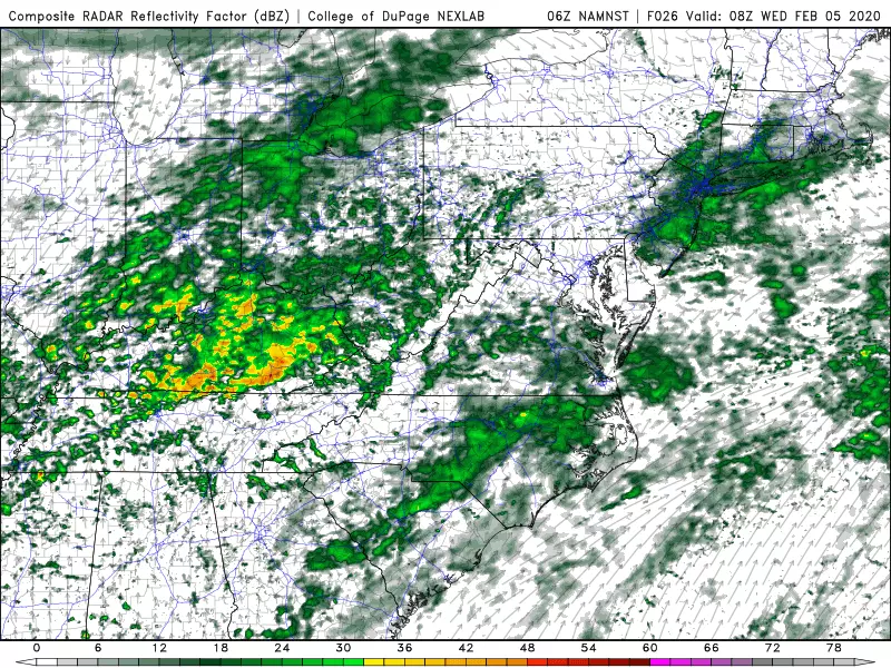
Note: This is the depiction of just one of several model solutions. (College of DuPage Meteorology)
Thermometers will go nowhere on Wednesday, as we get stuck in the lower 40s at best. It will be cloudy and grey. And still damp, with some spotty showers and sprinkles around. There could be some wintry mix to the northwest on Wednesday, but again this precipitation will be very very light and widely scattered.
More rain arrives on Thursday, with models painting the first half of the day as the wettest. Temperatures could be iffy here, as ground-level may be cool enough to sustain some wintry mix (freezing rain and/or sleet) for northern and western New Jersey. I'm eyeing the area along and northwest of the Route 1 corridor (from Trenton to New Brunswick to Newark to Fort Lee) for some light icing Thursday morning. Again, not a big, bad, dramatic winter storm — but we'll just have to watch for slippery spots.
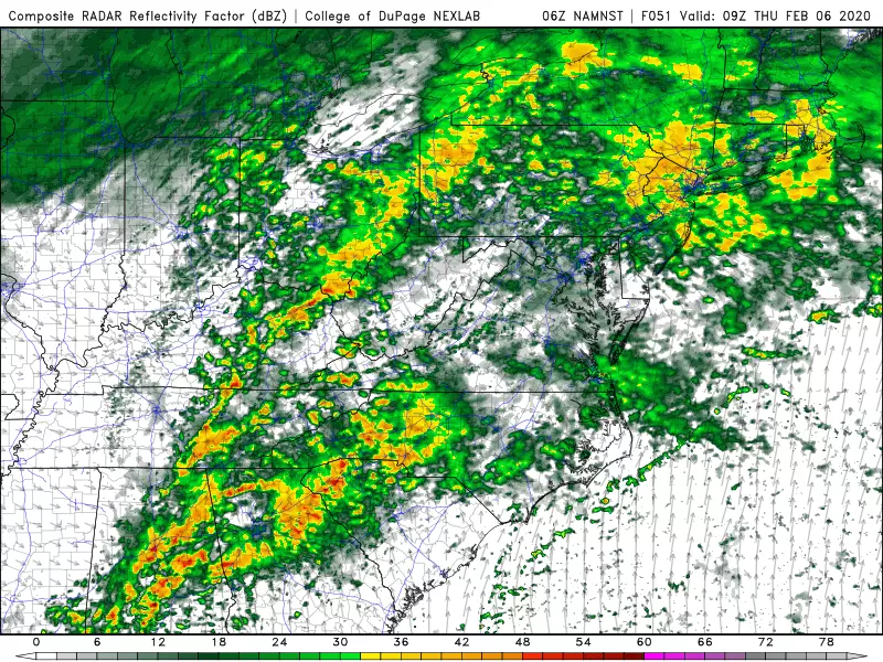
Meanwhile, farther south, warmer air will once again surge into central and southern New Jersey. High temperatures Thursday will range from the mid 40s in North Jersey, to near 60 again in South Jersey. Big north-south difference there, thanks to the frontal boundary parked right on top of the state.
Following one final round of potentially heavy rain from Thursday night through Friday morning, our weather will finally settle down. After the rain wraps up, Friday will become windy and colder, with late clearing. Temperatures will fall from about 50 in the morning to around 40 degrees in the afternoon.

The start of the weekend will be quiet, but cold. Saturday will bring a return to sunny skies. But morning lows will be in the 20s, and afternoon highs will get stuck in the 35 to 40 degree range. That is a bit below-normal for early February.
Another storm system is showing up in the models for Sunday. In fact, both the GFS and European models are now showing precipitation in New Jersey. (Yesterday, the GFS had a miss, but it has since trended northward to match the Euro.) Probably a snow to rain kind of situation, with a precarious almost-coastal-storm track that absolutely bears watching. As it stands, raw model output is showing 3" snow accumulation potential in New Jersey — enough to cause what I'd call moderate impacts. But it's still 5+ days away — we'll have a better view with more details later in the week.
I said as recently as last week that two things had to happen to get some snow this winter. 1.) A transition to a more active weather pattern, and 2.) Sustained colder air. This week's wild weather is a signal that #1 is happening. All we need is a good arctic blast, and we're in business. Keep your fingers crossed, skiers, plow drivers, and other snow lovers — winter ain't over yet!
Dan Zarrow is Chief Meteorologist for Townsquare Media New Jersey. Follow him on Facebook or Twitter for the latest forecast and realtime weather updates.
More From New Jersey 101.5 FM


