

Another great day to play outside for NJ: Bright, warm, and dry
The Bottom Line
Thursday is "Take Your Child to Work Day" and my sons Jackson and Griffin are in the weather center helping me out with the forecast.
That's why I have to frame this lovely spring day as a great opportunity to bring your kids to the park, take a walk, do some yard work, or just breathe in some fresh air. Keep in mind, of course, that the pollen count is still in the "go back to bed" range.
The southern Ocean County wildfire continues to burn, although firefighters are getting ahead of the flames and smoke. The weather will largely cooperate with those efforts Thursday, with a persistent but light southerly breeze. That will blow the thickest smoke over largely-forested sections of Lacey Township and Berkeley Township. Air quality should be better too, given the light southerly breeze and generally thinner smoke.
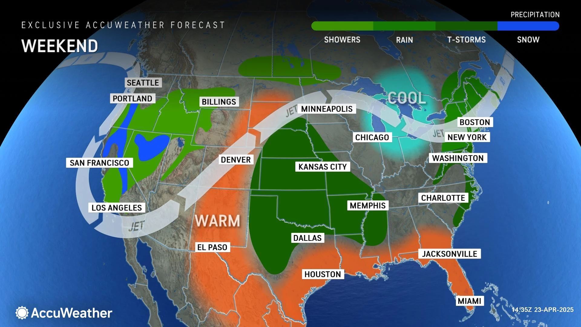
We will squeeze out one more pleasantly warm weather day for Friday, before our next chance of rain creeps in. Yes, we need a good soaking. But your outdoor activities may be affected, as Saturday's forecast has trended wetter and stormier.

Thursday
Again, as long as you ignore the pollen and wildfire, Thursday will be another beautiful weather day across New Jersey.
Thursday morning is a bit chillier than the rest of the week though. There is a good chance you will be reaching for a jacket, with most temperatures in the 40s.
It will be nice and warm by Thursday afternoon, with highs around 75 to 80 degrees.
Just like Wednesday, a sea breeze will likely keep Jersey Shore coastal communities cooler, probably in the 60s.
Thursday night will be clear, cool, and crisp. Look for low temperatures in the lower 50s.
Friday
Friday stays warm. And the daytime hours stay dry. But our next storm system and batch of wet weather will come along soon enough.
Skies will turn mostly cloudy. And that alone will keep temperatures a bit cooler than Thursday. So I'll put highs in the mid 70s — still about 10 degrees above normal for this time of year. And, with no substantial sea breeze this time around, even mainland beaches will be on the warm side too.
Rain showers may come into view starting around 4 or 5 p.m. But some model guidance keeps rain away until later, more like 10 p.m. or even 2 a.m. It would just be some scattered, hit-or-miss raindrops, but nothing prolonged or organized yet. Maybe a rumble of thunder, but nothing severe.
Saturday
It is becoming clear that Saturday will not be a great weather day. It is an "April showers" day. Which again, we desperately need to mitigate drought concerns, wildfire danger, and pollen levels.
I will say that Saturday won't be a total washout — there will be some breaks in the rainfall, especially by the evening hours.
Expect scattered rain through both the morning and afternoon. My one concern is that embedded thunderstorms and downpours may rapidly force outdoor plans to move inside on Saturday. Not ideal in the busy spring season. But also not unexpected.
Because of clouds, raindrops, and a stiff breeze, high temperatures on Saturday will cool. I estimate we will top out in the upper 60s or so. Still just above seasonal normals. It may feel a bit humid throughout the day too.
Rain should wrap up by about Saturday dinnertime, and skies will clear quickly thereafter. I am hopeful we will see glimmers of sun before it sets for the day.
Sunday
Sunshine returns to the skies of Jersey on Sunday, as we dry out and high pressure builds back in.
However, Sunday will be a fairly windy day. Regular wind gusts could top 30 mph — not enough to be called "damaging," but certainly noticeable.
Sunday will also cool down, with highs in the mid 60s. That is seasonable, near-normal for this time of year. Can't complain too much about that.
The Extended Forecast
The cool weather will only last through the weekend, as New Jersey's atmosphere will heat up again early next week.
Monday will return to about 70 degrees, with sunshine and light winds. It should be a very nice late April day.
Tuesday gets even warmer, fueled by a stiff southwesterly breeze. That will push inland high temperatures back to about 80 degrees.
Wednesday likely stays warm, near 80, but it will be a cold front day. That means a round of showers and thunderstorms could introduce cooler air for the second half of next week.
POP QUIZ: Can you guess these NJ landmarks from Google Earth images?
Gallery Credit: Dan Zarrow
Dan Zarrow is Chief Meteorologist for Townsquare Media New Jersey. Follow him on Facebook for the latest forecast and realtime weather updates.
Cough, cough: NJ's favorite lost voice and sore throat remedies
Gallery Credit: Dan Zarrow
More From New Jersey 101.5 FM


