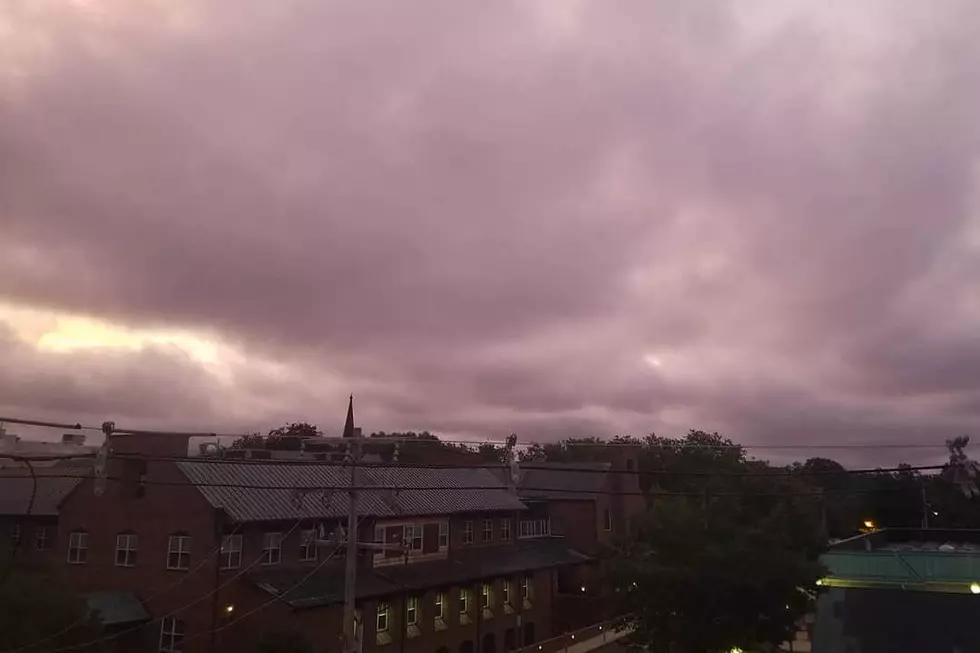
Yet another unsettled, occasionally wet weekend for NJ
Here comes the first weekend of Summer! Unfortunately, just like almost every weekend of Spring, we've got some rain and clouds to talk about thanks to a stalled front maneuvering around New Jersey. And also just like several of our recent weekends, there is hope for some dry, almost-pleasant weather along the way.
Friday morning is starting off fine. Skies are already mostly cloudy to overcast, there's a smidge of humidity in the air, and temperatures are almost exclusively in the 60s. As of this writing (6 a.m.), the radar remains dry and clear, but there is a batch of rain bubbling up from Delaware.
Forecast models have converged on a solution that pushes one or two batches of rain through the Garden State throughout the day Friday. I'm still seeing limited instability, which limits our risk for thunder and lighting and reduces the severe weather threat to near-zero. And while there is some humidity in the atmosphere, it's not the kind of rich moisture that would fuel flooding downpours. Therefore, I'm describing Friday's on-and-off rain as "light to moderate".
Amidst the rain, clouds, and a stiff easterly (on-shore) breeze, high temperatures will only end up in the lower to mid 70s Friday afternoon. That is about 10 degrees below normal for late June.
For Friday night, I have to include a few showers and some patchy fog in the forecast. It will be pretty humid, preventing thermometers from falling that much. Look for lows in the mid 60s by Saturday morning.
As we move into the weekend, a previously stationary front will march northward over New Jersey as a warm front. As we seemingly discuss every weekend, a stalled front such as this serves as an ideal "highway" for approaching storm systems.
Saturday does look soggy and potentially stormy at times, with scattered showers and thunderstorms throughout the day. There's no great consensus among our forecast models regarding wet vs. dry periods on Saturday, so you'll just have to be ready for raindrops at any time. Localized downpours are possible, and a few storms could be on the strong side with gusty winds or dangerous lightning. The bottom line... The day will not be a total washout, but you probably will get wet at some point.
Meanwhile, that pesky front is also making Saturday afternoon's temperature forecast incredibly difficult. This is going to be one of those "big range" days, with the potential for both cool upper 60s in North Jersey and seasonable lower 80s in South Jersey. Honestly, it's not a stretch at all to say that most of NJ will end up in the 70s on Saturday.
The latest guidance suggests we'll dry out and clear out somewhat on Sunday morning — that's your best chance for a few hours of pleasant, rain-free weather this weekend. The drier weather, breaks of sunshine, and march northward of our front will push temperatures well into the 80s across the state. (90 is a possible for interior South Jersey.) However, don't get complacent — scattered showers return by Sunday mid-afternoon. I don't think the geography of Sunday's rain will be as widespread as Saturday's, although the warmer temperatures would be more conducive to some stronger storms.
By the time you wake up Monday morning, the rain will be gone. As high pressure takes over our atmosphere, we'll enjoy a stretch of pleasantly sunny and warm weather for Monday, Tuesday, and probably Wednesday. Our next storm system, a cold front, is currently scheduled for Thursday.
Have a great weekend!
Dan Zarrow is Chief Meteorologist for Townsquare Media New Jersey. Follow him on Facebook or Twitter for the latest forecast and realtime weather updates.
More From New Jersey 101.5 FM


