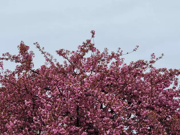
One more ‘blah’ day across NJ, then brighter weather this weekend
The Bottom Line
Let's recap the week so far, shall we? At Newark Airport, Monday's high temperature was a summerlike 83 degrees. Tuesday dipped to 74, but it was still a very nice day. Wednesday turned a little rainy, holding the high to 61. And Thursday was dreary and raw, with a high temp of only 51. Gotta love the variety of weather here in New Jersey in the springtime.
We will see only subtle improvements on Friday. But realistically, there are still about 24 hours of gloomy, raw weather to go before skies brighten up and temperatures warm up.
The bulk of the weekend looks good.

Friday
Friday begins where Thursday began. An easterly breeze, blowing off the chilly 50-degree Atlantic Ocean, will overall keep our weather bleak and cool for another day.
Temperatures are in the 40s to start Friday morning. Meanwhile, the sun is trying very hard to break through the clouds. Yes, you may see a glimmer of brighter skies early Friday, but conditions will become overcast again soon enough.
Expect high temperatures to bump a smidge higher for Friday afternoon, ranging from the lower 50s (coast) to mid 50s (inland).
Rainfall will be minimal Friday. But it does look like spotty showers will develop starting around mid-afternoon. You may need the umbrella for a little while.
Patchy drizzle and fog will remain possible into Friday night. Low temperatures will dip into the upper 40s. Another damp n' dreary night.
Saturday
A cold front is set to push through New Jersey Saturday morning, which will do two important things to our weather.
First, it will produce one final round of rain showers. Likely between about 6 a.m. and 10 a.m. Less than a tenth of an inch of total rainfall is anticipated.
And then, the frontal boundary sweeps out the "junk". The arrival of drier air and resumption of a west-northwest wind will lead to clearing skies. By Saturday afternoon, skies should be partly to mostly sunny.
Temperatures will respond to the sky improvement too. Saturday's highs should bump into the lower-mid 60s, a full 10 degrees warmer than Friday. The only nuisance: A stiff breeze, over 20 mph at times.
Sunday
By Sunday, we will be firmly in the new air mass. And temperatures will go down a bit as a result. There could be some 30s around in the morning. And highs will only reach the upper 50s Sunday afternoon.
Not a bad day, with periods of sun and clouds. I just wish it was trending about five degrees warmer, closer to the seasonal norm for late April.
Monday & Beyond
The weather forecast for early next week is looking very good. Sunshine and lower 60s on Monday. Increasing clouds and mid 60s on Tuesday. With dry weather and relatively light winds for the duration.
Our next chance of rain will come on Wednesday, as another cold front approaches. I am not convinced whether this storm system will play out as a "quick shower" or "prolonged scattered rain" kind of situation.
Temperatures will scale back again as we barrel toward the final weekend of April. There are no big warmups or big storm systems in sight, although we will probably get one or two more batches of April showers before the calendar page turns to May.
Final flakes: When does snow season end in NJ?
Gallery Credit: Dan Zarrow
Dan Zarrow is Chief Meteorologist for Townsquare Media New Jersey. Follow him on Facebook for the latest forecast and realtime weather updates.
Spring has sprung in NJ, check out these flowers
Gallery Credit: Dennis Malloy
More From New Jersey 101.5 FM


