Wednesday NJ weather: It’s hot. It’s humid. It’s summer.
The Bottom Line
You can pretty much take Tuesday's high temperatures and copy-paste them into Wednesday, Thursday, and Friday too. It's another Jersey heat wave. And while some (urban) areas of the Garden State will sweat and swelter, it's not really "dangerous" heat.
To be honest, this is a pretty easy forecast. But there are some big questions to consider: Will the sea breeze keep the coast cooler? (Generally yes.) Will we see popup thunderstorms? (Maybe, very isolated.) And when and how will the cooldown arrive? (Late Friday into Saturday, with some rain.)
Wednesday
A Heat Advisory has been issued for Bergen, Essex, Hudson, eastern Passaic, and Union counties for both Wednesday and Thursday. In that urban corridor of northeastern New Jersey, the heat index will approach 100. The "concrete jungle" of urban heat islands generally run and feel hotter, as the heat from the sun and the air bounces off the building and paved surfaces.
For most of New Jersey, this is really just run-of-the-mill "regular" summertime heat. It will be day 2 of 4 of our current heat wave, defined as a stretch of consecutive 90+ degree days.
We're starting off Wednesday with temperatures on either side of 70. (Cities and coast are the warmest spots, as usual.) Look for highs primarily in the lower 90s, with sunny skies. The heat index — the "feels like" or "apparent" temperature, which factors in humidity — will push into the mid 90s.
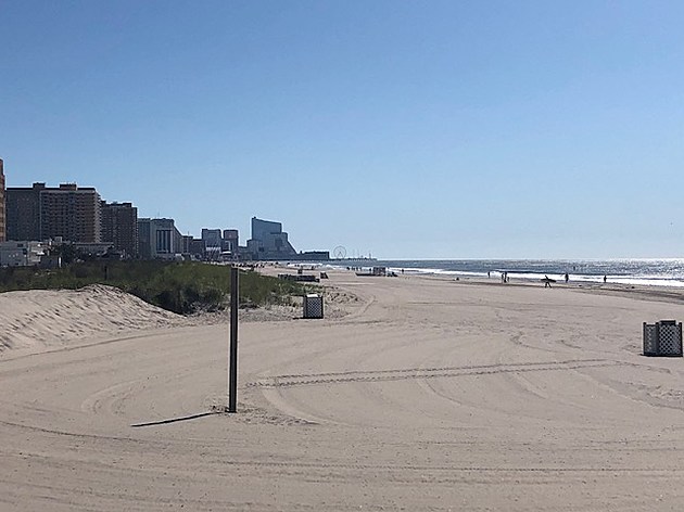
I think we'll get a more prominent sea breeze on Wednesday, compared to Tuesday. Of course, ocean temperatures are at their warmest point of the year, between 75 and 79 degrees. So the cooling effect isn't as great as it is during the spring and early summer. Beaches should end up in the 80s, and the sea breeze will hopefully keep the flies away. It should be a nice beach day, with a low risk of rip currents posted for the Jersey Shore.
Forecast models have been flip-flopping about whether or not we'll see a popup thunderstorm late-day. If we see an isolated storm, it would be in North Jersey around dinnertime Tuesday. I opted to include it in my on-air radio forecast, because of the threat for a (very localized) heavy downpour.
Along those lines, it's worth mentioning that the Passaic River is still running above flood stage from Henri's heavy rain and runoff. A Flood Warning continues.
Thursday
No change. Mostly sunny. Hot. Humid. Highs in the lower 90s. Cooler at the Shore. A slightly better (more widespread) chance of an isolated late-day shower or thunderstorm.
Friday
A hot and humid day. Even though cloud cover will increase throughout the day, it could be the hottest day of the bunch. High temps push into the lower to mid 90s.
A cold front will arrive eventually Friday, putting an end to our current heat wave. The lift generated by that front, combined with our juicy air mass, will be sufficient for scattered thunderstorms to form. Possibly as early as Friday afternoon. More likely, Friday evening.
The Weekend & Beyond
Saturday's forecast is tricky. The aforementioned front will probably slow down or stall before passing through the entire state. Unfortunately, that will keep a rain chance on top of New Jersey for at least Saturday morning.
I don't think you necessarily have to cancel your weekend plans, given that rain chance. Keep in mind though that skies will stay mostly cloudy. And temperatures will turn considerably cooler, with highs ranging from the lower 70s (north) to maybe lower 80s (south).
Fingers crossed that Sunday will be a better day, although clouds and a few showers may still get in the way. If the forecast trends in the positive direction I think it will, highs will push back into the seasonable 80s.
Next week looks warm, with highs mainly in the 80s. But also unsettled, with a series of fronts passing through and washing out over NJ. Since we're talking 5+ days away, I'm not worried about the daily wet vs. dry outlook right now — we'll pinpoint that soon.
Dan Zarrow is Chief Meteorologist for Townsquare Media New Jersey. Follow him on Facebook or Twitter for the latest forecast and realtime weather updates.
Remembering Tropical Storm Irene's impact on NJ, 10 years later
The best outdoor beer gardens at NJ breweries
More From New Jersey 101.5 FM


