Wednesday NJ weather: Clouds return, some raindrops, still mild
The Bottom Line
Wednesday will be New Jersey's sixth mild day in a row. That streak will extend to either eight or nine days before our next burst of cold air arrives.
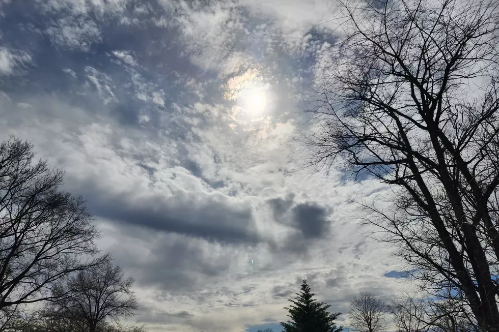
Unfortunately, we lose the beautiful blue sky and bright sunshine as clouds will win the sky through the next several days too.
Our next big cooldown and chance of widespread rain arrives this weekend. And that potential storm system for early next week has shifted to a "miss".
Wednesday
Remember: Normal high temperatures here in mid-December are in the mid 40s. So when we're forecasting 50+ degrees, it is definitely a mild treat.
Wednesday morning is starting off with a wide range of temperatures: 20s inland, near 50 at the Shore. With highs in the lower to mid 50s — just like Tuesday — we'll run about 8 degrees above seasonal normals.
Skies will become mostly cloudy by the afternoon. And as a weak impulse slides north of New Jersey, a batch of scattered showers could clip the state. Rainfall looks light and sporadic, limited to the afternoon and evening hours, and mainly in the northern half of the state.
Wednesday night, raindrops will taper. Fog is possible, as a warm front lifts through New Jersey. And because of that influx of warmer air, temperatures will only fall a few degrees overnight. (Thermometers may even rise through early Thursday morning.) Look for lows in the upper 40s. Far from a freeze.
Thursday
Warming up even more, as highs surge into the lower 60s. Something like 15 to 20 degrees above normal, and relatively close to our current record highs (upper 60s).
Thursday's daytime hours look completely dry. It will be breezy, with way more clouds than sun.
As a cold front slides across NJ, we could see a few raindrops Thursday night. However, the main area of low pressure will be far north of New Jersey, so that front is going to be exceptionally weak and moisture-starved. So we're just talking about sprinkles, if that.
Friday
It's a tough call, but I'm thinking we'll hold on to mild, 60-ish weather for one more day. Skies will remain mostly cloudy to overcast on Friday. And a couple of model solutions do put some spotty showers over NJ. (Note: I have opted for a dry forecast for now.)
Saturday
Cooler and pretty wet. If the aforementioned cold front stalls nearby, it will serve as a "highway" for two or three storm systems to drive in some rain. That rainfall won't be incredibly heavy — with totals mainly less than a half-inch. And it won't be a washout — there will be breaks in the rainfall action. But still, wet weather to start the final weekend of fall? And the last shopping weekend before Christmas? Not ideal.
Regardless of raindrops, Saturday will be cloudy and cooler too. Although the forecast high of 50 is still above normal.
Sunday
Drying out, clearing out, cooling down. Temperatures fall to seasonable (near-normal) levels, with highs in the mid 40s. It will be blustery too, with a northwest wind potentially gusting to 30 mph. At least the sun should come out in the afternoon.
The Extended Forecast
In Tuesday's blog, I posited the possibility of an "interesting" coastal storm system setup in the long-range forecast, around early next week.
Well, according to the latest model guidance? Gone. The atmospheric pattern looks more conducive to a southern track, keeping any chance of raindrops and snowflakes far away from New Jersey.
Could it swing back our way again? Sure. But for now, I'd call Monday and Tuesday sunny, chilly, and dry.
Dan Zarrow is Chief Meteorologist for Townsquare Media New Jersey. Follow him on Facebook or Twitter for the latest forecast and realtime weather updates.
First flakes: When does snow season start in NJ?
Light Up New Jersey 2021: Your best holiday lights
More From New Jersey 101.5 FM


