
Roads, power, NJ Transit — Tuesday’s essential winter weather info
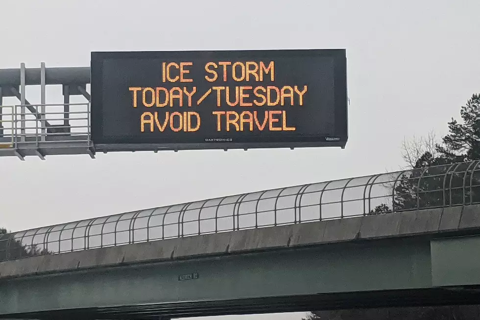
It's not snow but ice that will affect North and Central New Jersey on Monday night and Tuesday morning.
The main impact of the storm will start about10 p.m. Monday with an extended period of moderate to heavy sleet and freezing rain that could leave at least a 1/4 inch of ice accumulation in Bergen, Hunterdon, Morris, Somerset, Sussex, Passaic and Warren counties, according to New Jersey 101.5 Chief Meteorologist Dan Zarrow. That will leave a glaze on roads and stick to trees and utility lines.
"By around 4 a.m., I expect temperatures to rise sufficiently above 32 degrees that any icy mix will change to plain rain. There absolutely could be residual icing problems through Tuesday morning's rush hour," Zarrow said.
Temperatures will rise into the 40s overnight in the rest of the state with all rain expected. The rain could be heavy with rumbles of thunder and some gusty winds of 50 mph.
The information below will be updated as new information becomes available Tuesday morning.
HIGHWAYS
A commercial vehicle restriction for tractor trailers, empty straight CDL weighted trucks, RV’s and motorcycles on I-78, I-80, I-280, I-287 and Route 440 was lifted at 7:30 a.m.
POWER
JCP&L and PSE&G said they are both ready with extra suppiles and additional personnel should power lines be brought down. Both urge customers to report outage immediately via their websites, apps or phone.
As of 7:30 a.m. around 9,500 JCP&L and PSE&G customers were without power.
- JCP&L - 4,039 customers without power mostly in Warren County (Allamuchy and Independence)
- PSE&G - 270 customers without power throughout its service area
- Orange & Rockland - no outages reported
TRAINS/BUSES
NJ Transit, PATH, PATCO nor SEPTA did not announce any service adjustments for Tuesday as of 3:30 a.m. on Tuesday morning
Contact reporter Dan Alexander at Dan.Alexander@townsquaremedia.com or via Twitter @DanAlexanderNJ
More From New Jersey 101.5 FM


