Live from the (new) newsroom, it’s Thursday weather!
After 13 months (that felt like 13 years), today's morning drive news shift was the first to be produced from our new newsroom space! It's actually the old space, which has been renovated, updated, and upgraded, and we've now moved from one end of our building to the other, and back again.
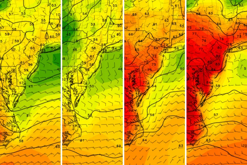
As the curtain rose on this exciting new event for us here at New Jersey 101.5, so did the fog rise across the Garden State on Thursday morning. For the rest of Thursday, it's a familiar story: partly cloudy skies, scattered showers and thunderstorms, and a high temperature gradient ranging from the mid-60s in northeastern New Jersey, to 70s for Central Jersey, to the mid-80s southwest. Pretty much the third straight day of that forecast.
Overnight, skies will turn fully cloudy, with a good chance of thunderstorms, and lows in the 50s statewide.
Showers and thunderstorms become more widespread on Friday, with temperatures again stretching from the mid-60s northeast to the upper 70s southwest. Then on Saturday, our weather remains unsettled, with showers accompanying partly cloudy skies and highs in the mid-60s to mid-70s.
Sunday looks to be about the same as Saturday. Then Dan will be back on Monday to lay out your forecast for next week!
Chief Meteorologist Dan Zarrow is on vacation and returns Monday, May 6. Patrick Lavery is Senior Producer of Morning News and Special Programming for New Jersey 101.5, and is lead reporter and substitute anchor for "New Jersey's First News."
More from New Jersey 101.5:
More From New Jersey 101.5 FM


