A few days of quiet weather and warming temps for NJ
After a trio of snowstorms last week, the forecast for the Garden State turns inactive through at least the first day of Winter on Thursday.
Here are your weather headlines for Monday, December 18, 2017...
Warming Up...
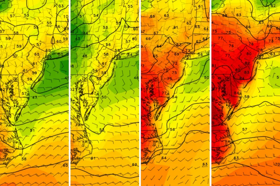
Hello, warm front, my old friend. New Jersey's weather started to improve on Sunday, as warmer air teased us. While North Jersey was stuck in the 30s all day, South Jersey came close to 50 degrees. The warmup continues through Monday and Tuesday, contributing to solid snowmelt and happy feelings as autumn comes to an end. (Winter begins at 11:28 a.m. on Thursday.)
Monday is starting with sprinkles and showers. With temperatures near the freezing mark along and north of Interstate 80, a few snowflakes and some light icing is possible. The National Weather Service has cancelled their previous Winter Weather Advisory for NE NJ, as slippery spots will be very limited. Any precipitation should end by about 8 a.m. Monday morning.
Breaks of sunshine are possible (but not guaranteed) for Monday afternoon. As the aforementioned warm front marches north, temperatures will continue moderating from south to north. North Jersey should make it to about 40 degrees, while South Jersey should touch 50 degrees. All around, we'll end up at or above normal for mid-December.
Most of New Jersey will stay above freezing from Monday night through Tuesday morning, with most low temps in the mid 30s. The usual cool spots could fall to about 30 degrees, but that will be the exception and not the rule.
I am highly confident that Tuesday will be the warmest and nicest day of the week. As the southern two-thirds of New Jersey erupts into sunshine, high temperatures will soar into the mid 50s. Even northern NJ, with mostly cloudy skies, should peak in the lower 50s or so.
Cooling Down...
The 50s aren't going to last long, unfortunately. While Wednesday's cooldown won't be a real "arctic blast," it will certainly be noticeable. A brisk northwesterly wind will gust to about 30 mph, enacting the return of cooler air. Current models suggest a dry frontal passage, although a batch of rain will come pretty close to the southern tip of the state.
High temperatures on Wednesday won't be truly "cold," but mid 40s definitely qualify as "more seasonable" for mid-to-late December.
Thursday will be the coolest day of the week, with high temps closer to 40 degrees, despite abundant sunshine.
The Christmas Holiday Weekend
One of the most important forecasts of the year is coming up, and our expected weather is slowly starting to come into focus. Current consensus points to a warm (60s) and wet Saturday the 23rd, followed by a quiet Christmas Eve on Sunday.
And then another storm system shows up in the models for Christmas Day. It's enough to get the "social media-oologists" buzzing — but I have to stress that the potential for snow is far from certain. In fact, I'd argue we're just as likely to see a "wet" Christmas, rather than a "white" one. It's a close call
Given the widespread interest, I'm going to write up a special holly jolly weather blog on the Christmas forecast with more details. Stay tuned!
More From New Jersey 101.5 FM


