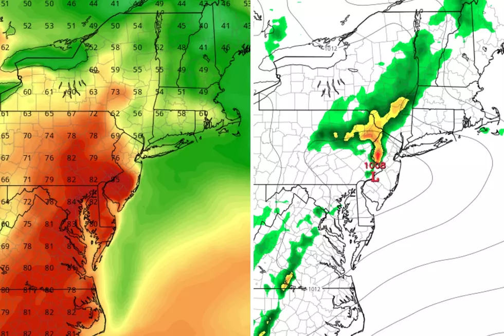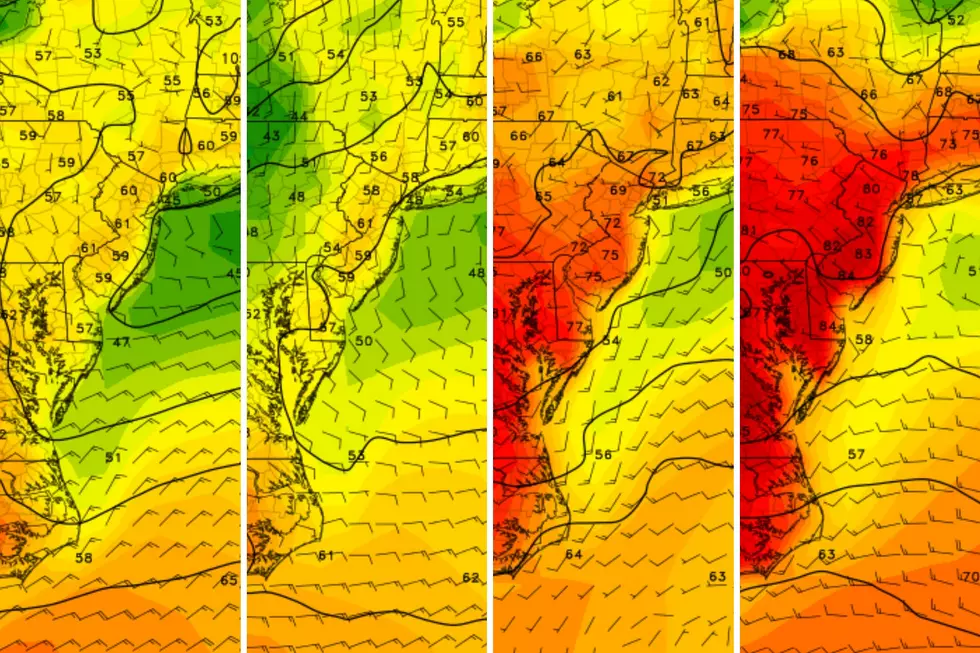
Yup, it’s windy — High Wind Warning continues Monday for all of NJ
Clearly, New Jersey's big story of the day is that ferocious wind, which has been howling consistently since Sunday evening. Did it wake you up? Did you experience a momentary (or long-term) power hit? Did your garbage can run away? Impacts are going to range from a nuisance (due to power outages), to a hindrance (when you're driving), to an outright danger (due to falling branches and trees).
As of this writing, New Jersey's top wind gust overnight has been 57 mph at Fortescue (Cumberland County), Lower Alloways Creek Township (Salem County), and Pittstown (Hunderdon County).
Sustained winds of 20 to 30 mph with regular gusts of 40 to 60 mph will continue for most of your Monday. A High Wind Warning is in effect for all 21 counties of New Jersey until 6 p.m. This is a westerly wind, so driving on north-south highways (where the wind hits you broadside) might be a challenge — especially if you're in a "high-profile vehicle" like a van or truck. Watch out for fallen twigs, sticks, branches, and trees. Scattered power outages are likely too.
In addition, a few snow showers have blown into the northern third of New Jersey for this Monday morning — along and north of Interstate 78. As those snowflakes fade by around 10 a.m., the rest of the day will feature mostly sunny skies. Temperatures will settle in the lower 40s or so by Monday afternoon. The wind chill ("feels like" temperature) will be stuck in the 20s all day.
Winds will finally lighten up a bit Monday evening — definitely becoming less gusty than the rest of the day, but not going completely calm. Clear skies will accompany cold temperatures overnight. Lows dip into the lower 20s. I calculate the wind chill will fall to around 10 degrees.
Let's call Tuesday just breezy, with sustained winds of 10 to 20 mph. Still plenty of sunshine, and still pretty chilly. Highs will only reach the upper 30s to around 40 — 5 to 10 degrees below seasonal normals.
Wednesday also looks cold, with highs limited to the mid to upper 30s. Skies will become mostly cloudy very early on. In addition, our next storm system will come into view late Wednesday through early Thursday. We've been watching this setup for about a week, but it is not any sign of big concern. Spotty showers will pass through New Jersey. And it could be cold enough for a bit of wintry mix. So there could be a few isolated slippery spots. That's it.
Partial clearing is expected by midday Thursday, as we start to warm up. Highs will reach the seasonable mid to upper 40s.
More 40s are expected to start the month of March on Friday, with widespread 50s for Saturday. But once again, the warmth comes with wetness. Looks like a batch of rain will affect New Jersey from Friday afternoon through at least part of Saturday. I've seen a few model solutions that suggest there could be a little bit of snow at the front end and/or back end of this system. I'm not worried at all about accumulation potential.
Behind that storm system, a gusty wind will kick up Saturday afternoon. That wind will cause temperatures to plummet heading into Sunday. High temperatures will be back down to the 30s.
Looking long-term, next weekend's reinforcement of cold air will be an important factor to our weather forecast throughout early March. Model guidance has been showing a consistent signal toward a more significant storm track (a.k.a. a coastal storm, nor'easter track) in the March 6-7 time frame. Even though "climatological winter" ends this week, we still have a window of 3-4 weeks in which big snow will still be possible. Stay tuned.
More From New Jersey 101.5 FM


